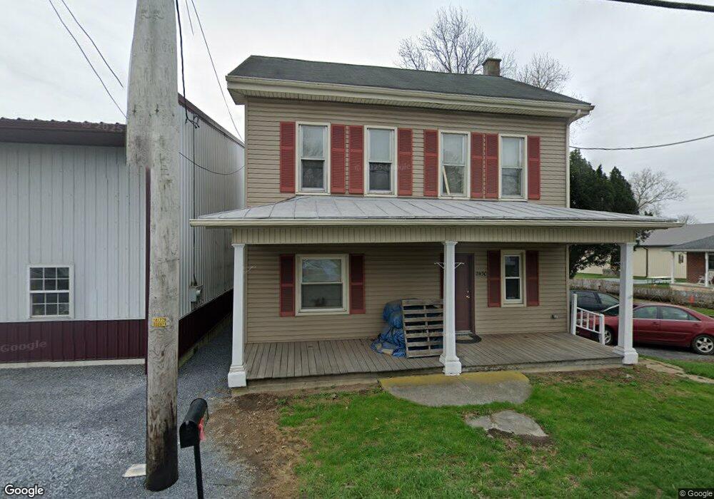
2430 W Main St Ephrata, PA 17522
Estimated Value: $239,000 - $371,000
4
Beds
2
Baths
1,827
Sq Ft
$179/Sq Ft
Est. Value
About This Home
This home is located at 2430 W Main St, Ephrata, PA 17522 and is currently estimated at $326,624, approximately $178 per square foot. 2430 W Main St is a home located in Lancaster County with nearby schools including Clay Elementary School, Ephrata Intermediate School, and Ephrata Senior High School.
Ownership History
Date
Name
Owned For
Owner Type
Purchase Details
Closed on
Mar 27, 2013
Sold by
Vue Gnia Poua and Vue Chue Her
Bought by
The Bank Of New York Mellon and The Bank Of New York
Current Estimated Value
Purchase Details
Closed on
May 12, 2003
Sold by
Republic Mortgage Insurance Co
Bought by
Vue Gnia Poua and Vue Chue Her
Home Financials for this Owner
Home Financials are based on the most recent Mortgage that was taken out on this home.
Original Mortgage
$89,910
Interest Rate
5.83%
Mortgage Type
Purchase Money Mortgage
Purchase Details
Closed on
Feb 3, 2003
Sold by
Fv-1 Inc
Bought by
Republic Mortgage Insurance Co
Purchase Details
Closed on
Sep 25, 2002
Sold by
Bair Gary W and Bair Cindy L
Bought by
Fv-1 Inc
Create a Home Valuation Report for This Property
The Home Valuation Report is an in-depth analysis detailing your home's value as well as a comparison with similar homes in the area
Home Values in the Area
Average Home Value in this Area
Purchase History
| Date | Buyer | Sale Price | Title Company |
|---|---|---|---|
| The Bank Of New York Mellon | $4,029 | None Available | |
| Vue Gnia Poua | $99,900 | First American Title Ins Co | |
| Republic Mortgage Insurance Co | $111,100 | First American Title Ins Co | |
| Fv-1 Inc | $3,504 | -- |
Source: Public Records
Mortgage History
| Date | Status | Borrower | Loan Amount |
|---|---|---|---|
| Previous Owner | Vue Gnia Poua | $89,910 |
Source: Public Records
Tax History
| Year | Tax Paid | Tax Assessment Tax Assessment Total Assessment is a certain percentage of the fair market value that is determined by local assessors to be the total taxable value of land and additions on the property. | Land | Improvement |
|---|---|---|---|---|
| 2025 | $3,607 | $157,500 | $48,900 | $108,600 |
| 2024 | $3,607 | $157,500 | $48,900 | $108,600 |
| 2023 | $3,514 | $157,500 | $48,900 | $108,600 |
| 2022 | $3,434 | $157,500 | $48,900 | $108,600 |
| 2021 | $3,360 | $157,500 | $48,900 | $108,600 |
| 2020 | $3,360 | $157,500 | $48,900 | $108,600 |
| 2019 | $3,312 | $157,500 | $48,900 | $108,600 |
| 2018 | $2,670 | $157,500 | $48,900 | $108,600 |
| 2017 | $3,153 | $123,700 | $48,000 | $75,700 |
| 2016 | $3,152 | $123,700 | $48,000 | $75,700 |
| 2015 | $623 | $123,700 | $48,000 | $75,700 |
| 2014 | $2,425 | $123,700 | $48,000 | $75,700 |
Source: Public Records
Map
Nearby Homes
- 10 Harvest Dr
- 2130 W Main St
- 46 Mollie Dr
- 100 Lilly Dr
- 142 Tulip Cir
- 2002 W Main St Unit 74
- 2002 W Main St Unit 63
- 791 Hopeland Rd
- 85 Wissler Rd
- 517 Foggy Bottom Rd
- 239 Kimberly Ln
- 308 Liberty St
- 154 Sunrise Ln
- 144 Sunrise Ln
- 39 Eastbrooke Dr
- 131 Sunrise Ln
- 258 Weston Terrace
- 00 Morning Dr
- 120 Morning Dr
- 1 Strawberry Ln
Your Personal Tour Guide
Ask me questions while you tour the home.