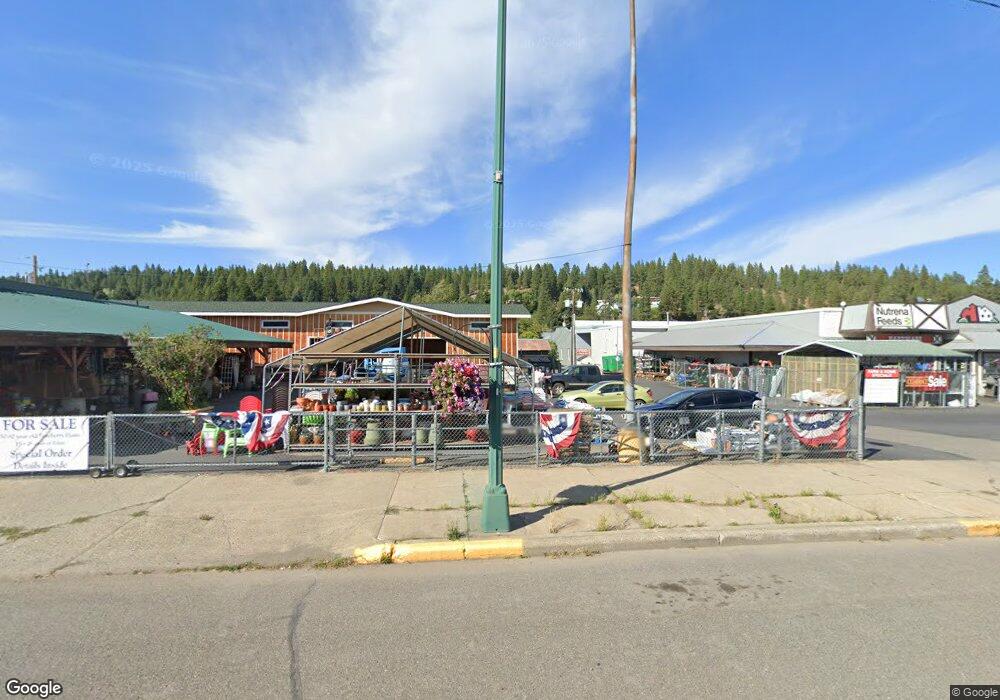
2431 Hwy 970 Cle Elum, WA 98922
Estimated Value: $590,636 - $801,000
2
Beds
2
Baths
1,246
Sq Ft
$536/Sq Ft
Est. Value
About This Home
This home is located at 2431 Hwy 970, Cle Elum, WA 98922 and is currently estimated at $667,659, approximately $535 per square foot. 2431 Hwy 970 is a home located in Kittitas County with nearby schools including Cle Elum Roslyn Elementary School, Walter Strom Middle School, and Cle Elum Roslyn High School.
Ownership History
Date
Name
Owned For
Owner Type
Purchase Details
Closed on
Sep 14, 2017
Sold by
Lumsden David R and Lumsden Susan A
Bought by
Troutman Kyle L and Troutman Chelsea N
Current Estimated Value
Home Financials for this Owner
Home Financials are based on the most recent Mortgage that was taken out on this home.
Original Mortgage
$280,489
Interest Rate
4.4%
Mortgage Type
FHA
Purchase Details
Closed on
Aug 30, 2012
Sold by
Mueller Shaun P and Mueller Janet L
Bought by
Lumsden David R and Lumsden Susan A
Create a Home Valuation Report for This Property
The Home Valuation Report is an in-depth analysis detailing your home's value as well as a comparison with similar homes in the area
Home Values in the Area
Average Home Value in this Area
Purchase History
| Date | Buyer | Sale Price | Title Company |
|---|---|---|---|
| Troutman Kyle L | $294,000 | Kittitas Title And Escrow | |
| Lumsden David R | $155,000 | Stewart Title |
Source: Public Records
Mortgage History
| Date | Status | Borrower | Loan Amount |
|---|---|---|---|
| Closed | Troutman Kyle L | $280,489 |
Source: Public Records
Tax History Compared to Growth
Tax History
| Year | Tax Paid | Tax Assessment Tax Assessment Total Assessment is a certain percentage of the fair market value that is determined by local assessors to be the total taxable value of land and additions on the property. | Land | Improvement |
|---|---|---|---|---|
| 2025 | $3,059 | $524,370 | $154,050 | $370,320 |
| 2023 | $3,059 | $447,950 | $144,050 | $303,900 |
| 2022 | $2,633 | $360,870 | $102,700 | $258,170 |
| 2021 | $2,519 | $329,530 | $77,700 | $251,830 |
| 2019 | $1,650 | $213,240 | $47,030 | $166,210 |
| 2018 | $1,468 | $180,000 | $47,030 | $132,970 |
| 2017 | $1,468 | $180,000 | $47,030 | $132,970 |
| 2016 | $1,471 | $180,000 | $47,030 | $132,970 |
| 2015 | $1,523 | $180,000 | $47,030 | $132,970 |
| 2013 | -- | $180,260 | $52,700 | $127,560 |
Source: Public Records
Map
Nearby Homes
- 2431 Sr 970
- 2781 970
- 741 McDonald Rd
- 0 xxx Washington 970
- 1660 Airport Rd
- 4081 Washington 970 Unit B4
- 4081 Washington 970 Unit B3
- 4081 Washington 970 Unit D7
- 4081 Washington 970 Unit A5
- 4081 Washington 970 Unit D10
- 4081 Washington 970 Unit A6
- 6280 Lower Peoh Point Rd
- 1721 Forest Ridge Dr
- 31 Forest Ridge Dr
- 0 Owl Ridge Dr Unit NWM2428008
- 61 - 341 Tetons Ln
- 0 xxx Owl Ridge Dr
- 1450 Creekside Rd
- 0 XXX Game Trail Rd
- 2 Lot Game Trail Rd
- 2433 Hwy 970
- 2433 Washington 970
- 2561 Hwy 970
- 2561 Hwy 970
- 1805 Washington 970
- 2413 Hwy 970
- 2411 Hwy 970
- 2781 Highway 970
- 2781 Hwy 970
- 71 Osprey Dr
- 971 McDonald Rd
- 1003 McDonald Rd
- 1001 McDonald Rd
- 3001 Hwy 970
- 13 McDonald Rd
- 1013 McDonald Rd
- 903 McDonald Rd
- 951 McDonald Rd
- 730 Flying M Dr
- 1911 Hwy 970 Unit 1