2431 State Route 12 Chenango Forks, NY 13746
Estimated Value: $304,000 - $352,327
4
Beds
3
Baths
2,290
Sq Ft
$140/Sq Ft
Est. Value
About This Home
This home is located at 2431 State Route 12, Chenango Forks, NY 13746 and is currently estimated at $320,442, approximately $139 per square foot. 2431 State Route 12 is a home located in Broome County with nearby schools including Chenango Forks Elementary School, Chenango Forks Middle School, and Chenango Forks High School.
Ownership History
Date
Name
Owned For
Owner Type
Purchase Details
Closed on
Jul 8, 2020
Sold by
Kirby Kermit T and Kirby Martha E
Bought by
Abbey Brian
Current Estimated Value
Purchase Details
Closed on
Aug 21, 2008
Sold by
Kirby Kermit
Bought by
Kirby Kermit
Create a Home Valuation Report for This Property
The Home Valuation Report is an in-depth analysis detailing your home's value as well as a comparison with similar homes in the area
Home Values in the Area
Average Home Value in this Area
Purchase History
| Date | Buyer | Sale Price | Title Company |
|---|---|---|---|
| Abbey Brian | $222,000 | None Available | |
| Kirby Kermit | -- | John Artman |
Source: Public Records
Tax History Compared to Growth
Tax History
| Year | Tax Paid | Tax Assessment Tax Assessment Total Assessment is a certain percentage of the fair market value that is determined by local assessors to be the total taxable value of land and additions on the property. | Land | Improvement |
|---|---|---|---|---|
| 2024 | $6,079 | $112,000 | $110,000 | $2,000 |
| 2023 | $6,158 | $112,000 | $110,000 | $2,000 |
| 2022 | $8,804 | $165,400 | $58,600 | $106,800 |
| 2021 | $8,703 | $165,400 | $58,600 | $106,800 |
| 2020 | $7,140 | $165,400 | $58,600 | $106,800 |
| 2019 | -- | $165,400 | $58,600 | $106,800 |
| 2018 | $11,284 | $165,400 | $58,600 | $106,800 |
| 2017 | $7,371 | $165,400 | $58,600 | $106,800 |
| 2016 | $11,317 | $165,400 | $58,600 | $106,800 |
| 2015 | -- | $165,400 | $58,600 | $106,800 |
| 2014 | -- | $165,400 | $58,600 | $106,800 |
Source: Public Records
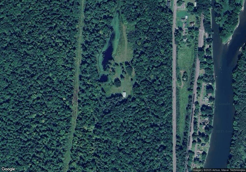
Map
Nearby Homes
- 142 Marshman Rd
- 6667 State Route 79
- 15 River Ln
- 120 Steed Rd
- 197 Port Rd
- 35 Woodland Dr
- 94 Richards Rd
- 243 Jeffrey Dr
- 1 Asbury Ave
- 57 Edelweiss Ln
- 1092 State Route 369
- 101 Palmer Hill Rd
- 343 Palmer Hill Rd
- 15 Peer St
- 404 Ballyhack Rd
- 105 Poplar Hill Rd
- 330 Palmer Hill Rd
- 63 E Thomas St
- 446 Conklin Hill Rd
- 11 Frederick Rd
- 2431 State Route 12 Unit NYS
- 2431 State Route 12
- 2374 State Route 12 Unit NYS
- 2404 State Route 12 Unit NYS
- 50 Willette Park Rd
- 52 Willette Park Rd
- 48 Willette Park Rd
- 46 Willette Park Rd
- 54 Willette Park Rd
- 56 Willette Park Rd
- 38 Willette Park Rd
- 42 Willette Park Rd
- 2411 New York 12
- 58 Willette Park Rd
- 32 Willette Park Rd
- 36 Willette Park Rd
- 76 Willette Park Rd
- 30 Willette Park Rd
- 28 Willette Park Rd
- 2412 State Route 12 Unit NYS