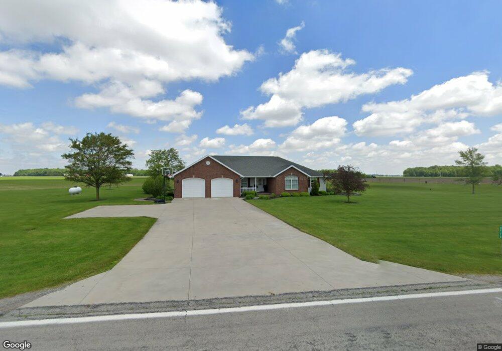
24310 State Route 189 Fort Jennings, OH 45844
Estimated Value: $344,000 - $411,000
2
Beds
2
Baths
1,911
Sq Ft
$196/Sq Ft
Est. Value
About This Home
This home is located at 24310 State Route 189, Fort Jennings, OH 45844 and is currently estimated at $374,368, approximately $195 per square foot. 24310 State Route 189 is a home with nearby schools including Ottoville Elementary School and Ottoville High School.
Create a Home Valuation Report for This Property
The Home Valuation Report is an in-depth analysis detailing your home's value as well as a comparison with similar homes in the area
Home Values in the Area
Average Home Value in this Area
Tax History Compared to Growth
Tax History
| Year | Tax Paid | Tax Assessment Tax Assessment Total Assessment is a certain percentage of the fair market value that is determined by local assessors to be the total taxable value of land and additions on the property. | Land | Improvement |
|---|---|---|---|---|
| 2024 | $3,335 | $112,050 | $7,120 | $104,930 |
| 2023 | $3,455 | $85,090 | $5,510 | $79,580 |
| 2022 | $3,028 | $85,089 | $5,509 | $79,580 |
| 2021 | $3,127 | $84,660 | $5,510 | $79,150 |
| 2020 | $3,044 | $68,830 | $4,690 | $64,140 |
| 2019 | $2,713 | $76,290 | $5,510 | $70,780 |
| 2018 | $2,648 | $76,290 | $5,510 | $70,780 |
| 2017 | $2,416 | $76,290 | $5,510 | $70,780 |
| 2016 | $2,416 | $68,830 | $4,690 | $64,140 |
| 2015 | $2,429 | $68,830 | $4,690 | $64,140 |
| 2014 | $2,384 | $68,830 | $4,690 | $64,140 |
| 2013 | $2,507 | $68,830 | $4,690 | $64,140 |
Source: Public Records
Map
Nearby Homes
- 0 Heritage Cir Unit 6112034
- 0 Heritage Cir Unit 303239
- 0 Road 24-Q
- 320 Auglaize St
- 7510 State Route 66
- 17736 Road 20p
- 20501 U S 224
- 8951 Brickner Rd
- 1220 Rose Anna Dr
- 1303 Carolyn Dr
- 25853 Road M
- 810 N Franklin St
- 704 N Franklin St
- 628 N Pierce St
- 650 E 6th St
- 610 N Washington St
- 604 W 6th St
- 503 W 6th St
- 405 N Franklin St
- 616 W 5th St