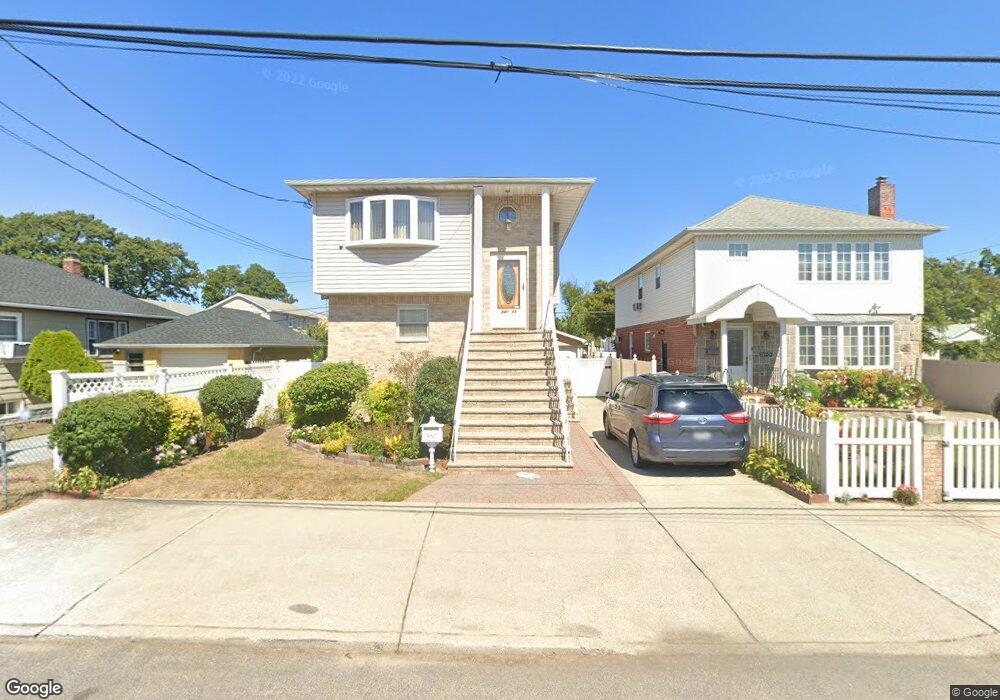
24311 132nd Ave Rosedale, NY 11422
Rosedale NeighborhoodEstimated Value: $790,000 - $933,531
Studio
--
Bath
1,881
Sq Ft
$454/Sq Ft
Est. Value
About This Home
This home is located at 24311 132nd Ave, Rosedale, NY 11422 and is currently estimated at $854,133, approximately $454 per square foot. 24311 132nd Ave is a home located in Queens County with nearby schools including P.S. 38 - Rosedale, Collaborative Arts Middle School, and Mona Prep.
Ownership History
Date
Name
Owned For
Owner Type
Purchase Details
Closed on
Jan 8, 2020
Sold by
Lee Edward and Lee Lilleth
Bought by
Wallace Horace
Current Estimated Value
Home Financials for this Owner
Home Financials are based on the most recent Mortgage that was taken out on this home.
Original Mortgage
$385,000
Outstanding Balance
$340,163
Interest Rate
3.6%
Mortgage Type
Unknown
Estimated Equity
$513,970
Purchase Details
Closed on
Apr 23, 2013
Sold by
Lee Denise
Bought by
Lee Edward and Lee Lilleth
Purchase Details
Closed on
Jan 2, 2002
Sold by
Lee Edward
Bought by
Lee Denise
Create a Home Valuation Report for This Property
The Home Valuation Report is an in-depth analysis detailing your home's value as well as a comparison with similar homes in the area
Home Values in the Area
Average Home Value in this Area
Purchase History
| Date | Buyer | Sale Price | Title Company |
|---|---|---|---|
| Wallace Horace | $700,000 | -- | |
| Lee Edward | -- | -- | |
| Lee Denise | -- | -- |
Source: Public Records
Mortgage History
| Date | Status | Borrower | Loan Amount |
|---|---|---|---|
| Open | Wallace Horace | $385,000 |
Source: Public Records
Tax History
| Year | Tax Paid | Tax Assessment Tax Assessment Total Assessment is a certain percentage of the fair market value that is determined by local assessors to be the total taxable value of land and additions on the property. | Land | Improvement |
|---|---|---|---|---|
| 2025 | $7,410 | $37,498 | $6,723 | $30,775 |
| 2024 | $7,410 | $36,893 | $6,753 | $30,140 |
| 2023 | $6,993 | $34,819 | $6,534 | $28,285 |
| 2022 | $6,612 | $45,000 | $8,940 | $36,060 |
| 2021 | $6,576 | $38,820 | $8,940 | $29,880 |
| 2020 | $6,614 | $36,540 | $8,940 | $27,600 |
| 2019 | $6,431 | $36,360 | $8,940 | $27,420 |
| 2018 | $5,915 | $29,016 | $7,693 | $21,323 |
| 2017 | $5,627 | $27,602 | $8,788 | $18,814 |
| 2016 | $5,206 | $27,602 | $8,788 | $18,814 |
| 2015 | $3,401 | $27,157 | $9,779 | $17,378 |
| 2014 | $3,401 | $25,620 | $9,960 | $15,660 |
Source: Public Records
Map
Nearby Homes
- 243-11 132nd Rd
- 243-25 132nd Rd
- 11 Jefferson Ave
- 131-30 Laurelton Pkwy Unit Lower
- 35 Harvard St
- 234-24 131st Ave Unit Upper
- 13420 242nd St
- 131-59 234th St Unit 2
- 32 Cumberland Place
- 64 Ormonde Blvd
- 131-11 234th St Unit Upper
- 131-05 234th St Unit LOWER
- 131-09 234th St Unit Lower Level
- 60 Saint Johns Ave
- 243-19 129th Ave
- 234-03 133rd Ave Unit Lower
- 12866 238th St
- 42 Princeton St
- 131-44 234th St Unit UPPER
- 131-38 234th St Unit Lower
- 24311 132nd Ave
- 24311 132nd Ave
- 24315 132nd Ave
- 24305 132nd Ave
- 243-21 132nd Ave
- 24321 132nd Ave
- 13133 243rd St
- 24301 132nd Ave
- 243-01 132nd Ave Unit 2
- 243-01 132nd Ave
- 131-33 243rd St
- 243-06 132nd Ave
- 24325 132nd Ave
- 243-05 132nd Ave
- 24325 132nd Ave
- 243-14 132nd Ave
- 24310 132nd Ave
- 24314 132nd Ave
- 24306 132nd Ave
- 24320 132nd Ave
Your Personal Tour Guide
Ask me questions while you tour the home.