24327 Misty Ln Anchor Point, AK 99556
Estimated Value: $81,000 - $369,253
2
Beds
1
Bath
1,352
Sq Ft
$153/Sq Ft
Est. Value
About This Home
This home is located at 24327 Misty Ln, Anchor Point, AK 99556 and is currently estimated at $207,063, approximately $153 per square foot. 24327 Misty Ln is a home located in Kenai Peninsula Borough with nearby schools including Ninilchik School.
Ownership History
Date
Name
Owned For
Owner Type
Purchase Details
Closed on
Aug 14, 2003
Sold by
Lamoreux Leander S and Jacobs Robert M
Bought by
Christensen Edward C and Christensen Nancy J
Current Estimated Value
Home Financials for this Owner
Home Financials are based on the most recent Mortgage that was taken out on this home.
Original Mortgage
$93,500
Outstanding Balance
$40,183
Interest Rate
5.29%
Mortgage Type
Purchase Money Mortgage
Estimated Equity
$166,880
Purchase Details
Closed on
Feb 14, 2003
Sold by
Lambert Marguerite E
Bought by
Lamoreux Leandra S and Jacobs Robert M
Purchase Details
Closed on
Dec 11, 2002
Sold by
Lambert Marguerite E
Bought by
Lambert Marguerite E
Create a Home Valuation Report for This Property
The Home Valuation Report is an in-depth analysis detailing your home's value as well as a comparison with similar homes in the area
Home Values in the Area
Average Home Value in this Area
Purchase History
| Date | Buyer | Sale Price | Title Company |
|---|---|---|---|
| Christensen Edward C | -- | -- | |
| Lamoreux Leandra S | -- | -- | |
| Lambert Marguerite E | -- | -- |
Source: Public Records
Mortgage History
| Date | Status | Borrower | Loan Amount |
|---|---|---|---|
| Open | Christensen Edward C | $93,500 |
Source: Public Records
Tax History Compared to Growth
Tax History
| Year | Tax Paid | Tax Assessment Tax Assessment Total Assessment is a certain percentage of the fair market value that is determined by local assessors to be the total taxable value of land and additions on the property. | Land | Improvement |
|---|---|---|---|---|
| 2025 | $2,293 | $274,600 | $51,800 | $222,800 |
| 2024 | $2,293 | $222,400 | $47,300 | $175,100 |
| 2023 | $2,339 | $217,200 | $39,600 | $177,600 |
| 2022 | $2,066 | $186,300 | $39,600 | $146,700 |
| 2021 | $2,113 | $187,200 | $38,300 | $148,900 |
| 2020 | $2,003 | $179,000 | $38,300 | $140,700 |
| 2019 | $1,928 | $172,900 | $17,200 | $155,700 |
| 2018 | $0 | $170,700 | $17,200 | $153,500 |
| 2017 | -- | $171,000 | $17,200 | $153,800 |
| 2016 | -- | $166,100 | $17,200 | $148,900 |
| 2015 | $1,678 | $155,700 | $17,200 | $138,500 |
| 2014 | $1,678 | $168,900 | $17,200 | $151,700 |
Source: Public Records
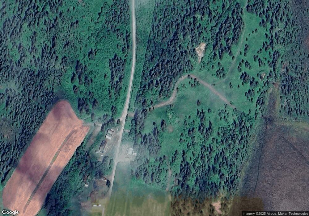
Map
Nearby Homes
- 68404 Leopold Ave
- 24220 Sterling Hwy
- 24075 Colleen Ct
- 68650 Homestead Rd
- 67212 Homestead Rd
- 25646 Hawks Beach Rem SW
- L9 Shegota Loop
- L10 Shegota Loop
- L5 Shegota Loop
- L5-10 Shegota Loop
- L8 Shegota Loop
- L7 Shegota Loop
- L6 Shegota Loop
- Tract 20 Zeke St
- 25850 Stinkbug St
- 67280 Saint John Rd
- 22325 Sterling Hwy
- 22512 Lowell St
- Tr 33 Panther St
- 27320 Cloyds Rd
- 24367 Misty Ln
- 24200 Sterling Hwy
- 24436 Misty Ln
- 24200 Sterling Hwy
- 24220 Sterling Hwy
- 24340 Sterling Hwy
- 24285 Sterling Hwy
- Mile 145 Sterling Hwy
- 69279 Royce Dr
- 69319 Royce Dr
- Tr 43 Leopold Ave
- 22249 Sterling Hwy
- 24015 Sterling Hwy
- 24127 Colleen St
- 000 Patrick Ave
- L13 B4 Royce Dr
- 69256 Ella Mae Ave
- 24175 Colleen Ct
- Mile 144 Sterling Hwy
- 69360 Royce Dr