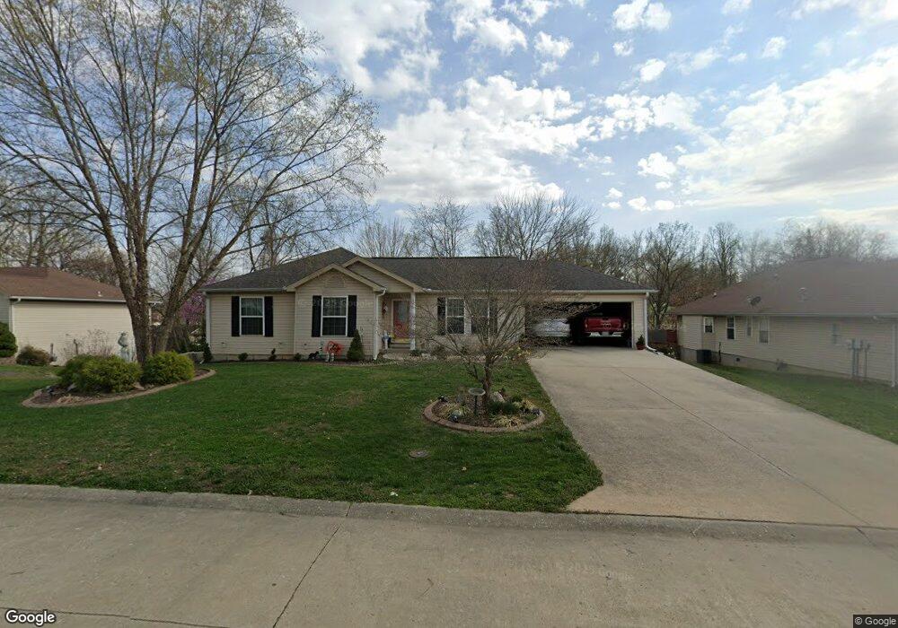
2433 Lisa Dr Cape Girardeau, MO 63701
Estimated Value: $224,000 - $287,000
3
Beds
2
Baths
1,187
Sq Ft
$205/Sq Ft
Est. Value
About This Home
This home is located at 2433 Lisa Dr, Cape Girardeau, MO 63701 and is currently estimated at $243,532, approximately $205 per square foot. 2433 Lisa Dr is a home with nearby schools including Alma Schrader Elementary School, Central Middle School, and Central Junior High School.
Ownership History
Date
Name
Owned For
Owner Type
Purchase Details
Closed on
Aug 3, 2017
Sold by
Morgan Gene and Morgan Marilyn
Bought by
Morgan Trust
Current Estimated Value
Purchase Details
Closed on
Jun 14, 2006
Sold by
Crosier Scott and Crosier Shanna
Bought by
Morgan Gene and Morgan Marilyn
Home Financials for this Owner
Home Financials are based on the most recent Mortgage that was taken out on this home.
Original Mortgage
$80,000
Interest Rate
6.58%
Mortgage Type
New Conventional
Create a Home Valuation Report for This Property
The Home Valuation Report is an in-depth analysis detailing your home's value as well as a comparison with similar homes in the area
Home Values in the Area
Average Home Value in this Area
Purchase History
| Date | Buyer | Sale Price | Title Company |
|---|---|---|---|
| Morgan Trust | -- | -- | |
| Morgan Gene | -- | None Available |
Source: Public Records
Mortgage History
| Date | Status | Borrower | Loan Amount |
|---|---|---|---|
| Previous Owner | Morgan Gene | $80,000 |
Source: Public Records
Tax History Compared to Growth
Tax History
| Year | Tax Paid | Tax Assessment Tax Assessment Total Assessment is a certain percentage of the fair market value that is determined by local assessors to be the total taxable value of land and additions on the property. | Land | Improvement |
|---|---|---|---|---|
| 2025 | $14 | $27,820 | $4,490 | $23,330 |
| 2024 | $14 | $26,490 | $4,270 | $22,220 |
| 2023 | $1,377 | $26,490 | $4,270 | $22,220 |
| 2022 | $1,270 | $24,420 | $3,940 | $20,480 |
| 2021 | $1,270 | $24,420 | $3,940 | $20,480 |
| 2020 | $1,273 | $24,420 | $3,940 | $20,480 |
| 2019 | $1,271 | $24,420 | $0 | $0 |
| 2018 | $1,269 | $24,420 | $0 | $0 |
| 2017 | $1,272 | $24,420 | $0 | $0 |
| 2016 | $1,267 | $24,420 | $0 | $0 |
| 2015 | $1,268 | $24,420 | $0 | $0 |
| 2014 | $1,274 | $24,420 | $0 | $0 |
Source: Public Records
Map
Nearby Homes
- 1938 Westwood Dr
- 1966 Randol Ave
- 1960 Briarwood Dr
- 2412 Masters Dr
- 1912 Perryville Rd
- 2550 Marvin St
- 1701 Brookwood Dr
- 1623 Lexington Ave
- 2323 Brookwood Dr
- 2062 Concord Place
- 2449 Janet Dr
- 1608 Lexington Ave
- 1910 Sherwood Dr
- 1572 Lexington Ave
- 1577 Saratoga St
- 1717 Perryville Rd
- 1246 Marilyn Dr
- 2415 Perryville Rd
- 2323 Jean Ann Dr
- 1553 Valley Forge Ln
- 2439 Lisa Dr
- 2425 Lisa Dr
- 2424 Melrose Ave
- 2445 Lisa Dr
- 2432 Lisa Dr
- 2420 Melrose Ave
- 2417 Lisa Dr
- 2438 Lisa Dr
- 2422 Lisa Dr
- 2432 Melrose Ave
- 2444 Lisa Dr
- 2416 Melrose Ave
- 2355 Cheetah Ln
- 1914 Randol Ave
- 1902 Sapphire Ln
- 1902 Saphire Ln
- 2412 Melrose Ave
- 2423 Melrose Ave
- 2427 Melrose Ave
- 1 Randol Ave