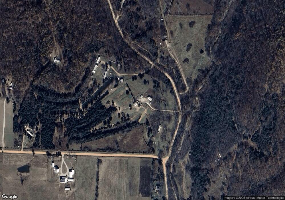
2433 Sarvis Point Rd Seymour, MO 65746
Estimated Value: $153,942 - $346,000
Studio
--
Bath
900
Sq Ft
$252/Sq Ft
Est. Value
About This Home
This home is located at 2433 Sarvis Point Rd, Seymour, MO 65746 and is currently estimated at $226,981, approximately $252 per square foot. 2433 Sarvis Point Rd is a home with nearby schools including Seymour Elementary School, Seymour Middle School, and Seymour High School.
Ownership History
Date
Name
Owned For
Owner Type
Purchase Details
Closed on
Feb 6, 2025
Sold by
Cooper Arianna and Cooper Billy Ray
Bought by
Cooper Richard Lee
Current Estimated Value
Home Financials for this Owner
Home Financials are based on the most recent Mortgage that was taken out on this home.
Original Mortgage
$72,000
Outstanding Balance
$18,464
Interest Rate
6.85%
Mortgage Type
Construction
Estimated Equity
$208,517
Purchase Details
Closed on
Feb 4, 2025
Sold by
South Camp Llc
Bought by
Cooper Arianna and Cooper Billy Ray
Home Financials for this Owner
Home Financials are based on the most recent Mortgage that was taken out on this home.
Original Mortgage
$72,000
Outstanding Balance
$18,464
Interest Rate
6.85%
Mortgage Type
Construction
Estimated Equity
$208,517
Purchase Details
Closed on
Jan 24, 2025
Sold by
Cooper Melinda S
Bought by
Cooper Billy Ray and Cooper Arianna
Home Financials for this Owner
Home Financials are based on the most recent Mortgage that was taken out on this home.
Original Mortgage
$72,000
Outstanding Balance
$18,464
Interest Rate
6.85%
Mortgage Type
Construction
Estimated Equity
$208,517
Purchase Details
Closed on
May 5, 2021
Sold by
Sarvis Point Properties Inc
Bought by
Cooper Melinda S
Purchase Details
Closed on
May 8, 2020
Sold by
Mallett Susie B
Bought by
Cooper Melinda S
Create a Home Valuation Report for This Property
The Home Valuation Report is an in-depth analysis detailing your home's value as well as a comparison with similar homes in the area
Purchase History
| Date | Buyer | Sale Price | Title Company |
|---|---|---|---|
| Cooper Richard Lee | -- | None Listed On Document | |
| Cooper Richard Lee | -- | None Listed On Document | |
| Cooper Arianna | -- | -- | |
| Cooper Billy Ray | -- | None Listed On Document | |
| Cooper Billy Ray | -- | None Listed On Document | |
| Cooper Melinda S | -- | -- | |
| Cooper Melinda S | -- | -- |
Source: Public Records
Mortgage History
| Date | Status | Borrower | Loan Amount |
|---|---|---|---|
| Open | Cooper Arianna | $72,000 |
Source: Public Records
Tax History
| Year | Tax Paid | Tax Assessment Tax Assessment Total Assessment is a certain percentage of the fair market value that is determined by local assessors to be the total taxable value of land and additions on the property. | Land | Improvement |
|---|---|---|---|---|
| 2024 | $510 | $12,100 | $0 | $0 |
| 2023 | $501 | $12,100 | $0 | $0 |
| 2022 | $501 | $12,100 | $0 | $0 |
| 2021 | $425 | $10,280 | $0 | $0 |
| 2020 | $418 | $9,590 | $0 | $0 |
| 2019 | $0 | $0 | $0 | $0 |
| 2018 | $0 | $0 | $0 | $0 |
| 2017 | -- | $0 | $0 | $0 |
| 2016 | -- | $0 | $0 | $0 |
| 2015 | -- | $0 | $0 | $0 |
| 2012 | -- | $0 | $0 | $0 |
Source: Public Records
Map
Nearby Homes
- 300 Partners Dr
- 5679 State Highway Bb
- 84 - A Buttercup Ln
- 2576 State Highway Nn
- 202 Brookside Dr
- 996 S Diggins Main St
- 901 Trimble Rd
- 1279 Thoroughfare St
- 21 Timber View Dr
- 233 Bruce Dr
- 885 W Thoroughfare St Unit 1-8
- 000 Highway 60
- 699 W Ragsdale St
- 510 W Park St
- 000 Lot 4 Tract 1 & Tract 2
- 270 Velma Dr
- 0000 Lots Between K Hwy and Water St
- 000 Tract 1 & Tract 2
- 000 Lot 4
- 29 Enterprise Dr Unit Tract 8,9,10 &11
- 2313 Sarvis Point Rd
- Tbd Sarvis Point Rd
- 0 Sarvis Point Rd
- 3515 Dillon Rd
- 3199 Dillon Rd
- 916 Ten Parts Dr
- 2544 Sarvis Point Rd
- 2054 Sarvis Point Rd
- 2137 Sarvis Point Rd
- 796 10 Parts Dr
- 3118 Dillon Rd
- 299 Partners Dr
- 2071 Sarvis Point Rd
- 0 10 Parts Dr
- 3039 Dillon Rd
- 2052 Sarvis Point Rd
- 3014 Dillon Rd
- 626 Ten Parts Dr
- 554 Ten Parts Dr
- 83 Partners Dr
