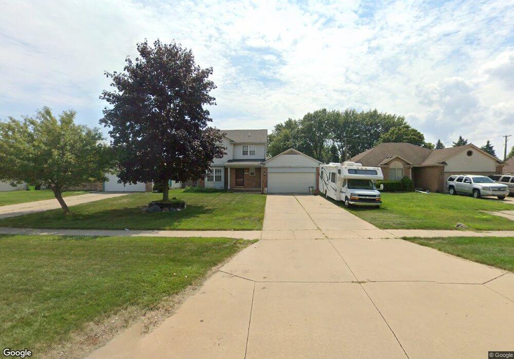
24332 21 Mile Rd Macomb, MI 48042
Estimated Value: $305,508 - $341,000
Studio
1
Bath
1,498
Sq Ft
$213/Sq Ft
Est. Value
About This Home
This home is located at 24332 21 Mile Rd, Macomb, MI 48042 and is currently estimated at $319,377, approximately $213 per square foot. 24332 21 Mile Rd is a home located in Macomb County with nearby schools including Atwood Elementary School, L'Anse Creuse Middle School - North, and L'Anse Creuse High School - North.
Ownership History
Date
Name
Owned For
Owner Type
Purchase Details
Closed on
May 24, 2005
Sold by
Montalvo Jaime and Montalvo Karyn D
Bought by
Condron Martin R
Current Estimated Value
Home Financials for this Owner
Home Financials are based on the most recent Mortgage that was taken out on this home.
Original Mortgage
$36,800
Outstanding Balance
$19,274
Interest Rate
5.91%
Mortgage Type
Stand Alone Second
Estimated Equity
$300,103
Purchase Details
Closed on
Apr 24, 1998
Sold by
Mazur Building
Bought by
Montalvo J K
Create a Home Valuation Report for This Property
The Home Valuation Report is an in-depth analysis detailing your home's value as well as a comparison with similar homes in the area
Home Values in the Area
Average Home Value in this Area
Purchase History
| Date | Buyer | Sale Price | Title Company |
|---|---|---|---|
| Condron Martin R | $183,900 | Great Lakes Title Of Mi | |
| Montalvo J K | $130,000 | -- |
Source: Public Records
Mortgage History
| Date | Status | Borrower | Loan Amount |
|---|---|---|---|
| Open | Condron Martin R | $36,800 |
Source: Public Records
Tax History
| Year | Tax Paid | Tax Assessment Tax Assessment Total Assessment is a certain percentage of the fair market value that is determined by local assessors to be the total taxable value of land and additions on the property. | Land | Improvement |
|---|---|---|---|---|
| 2025 | $1,941 | $137,800 | $0 | $0 |
| 2024 | $19 | $133,700 | $0 | $0 |
| 2023 | $1,790 | $120,900 | $0 | $0 |
| 2022 | $2,259 | $108,300 | $0 | $0 |
| 2021 | $2,199 | $100,000 | $0 | $0 |
| 2020 | $1,643 | $99,500 | $0 | $0 |
| 2019 | $2,029 | $98,200 | $0 | $0 |
| 2018 | $1,977 | $93,100 | $0 | $0 |
| 2017 | $1,946 | $85,670 | $21,000 | $64,670 |
| 2016 | $1,841 | $85,670 | $0 | $0 |
| 2015 | $1,818 | $70,520 | $0 | $0 |
| 2014 | $1,818 | $62,610 | $14,500 | $48,110 |
| 2013 | $1,380 | $62,610 | $0 | $0 |
Source: Public Records
Map
Nearby Homes
- 24374 21 Mile Rd
- 47140 Hunters Chase Dr
- 0 Gratiot Ave
- 6009 Gratiot Ave
- 47338 Hunters Chase Dr
- 45945 N Gratiot Ave
- 23944 Harrellson St
- 23206 21 Mile Rd
- 23199 Hidden Creek Dr
- 45729 N Gratiot Ave
- 47848 Sonnett Dr
- 23610 Lynnhurst St
- 25591 Lord Dr
- 47846 North Ave
- 45937 Duke Dr
- 25865 Eastridge Ct
- 23346 Spring Creek Dr
- 25983 New Forest Ct
- 47231 Admirals Cove Ln Unit 21
- 45215 Fairchild Rd
- 24356 21 Mile Rd
- 24256 21 Mile Rd
- 24357 Mikado Ct
- 46980 Fairchild Rd
- 24335 Mikado Ct
- 24380 21 Mile Rd
- 46950 Fairchild Rd
- 46888 Fairchild Rd
- 24379 Mikado Ct
- 46864 Fairchild Rd
- 46935 Oak Pointe Dr
- 46951 Oak Pointe Dr
- 46899 Oak Pointe Dr
- 24320 Mikado Ct
- 46873 Oak Pointe Dr
- 46840 Fairchild Rd
- 24364 Mikado Ct
- 46825 Oak Pointe Dr
- 46816 Fairchild Rd
- 24386 Mikado Ct
Your Personal Tour Guide
Ask me questions while you tour the home.