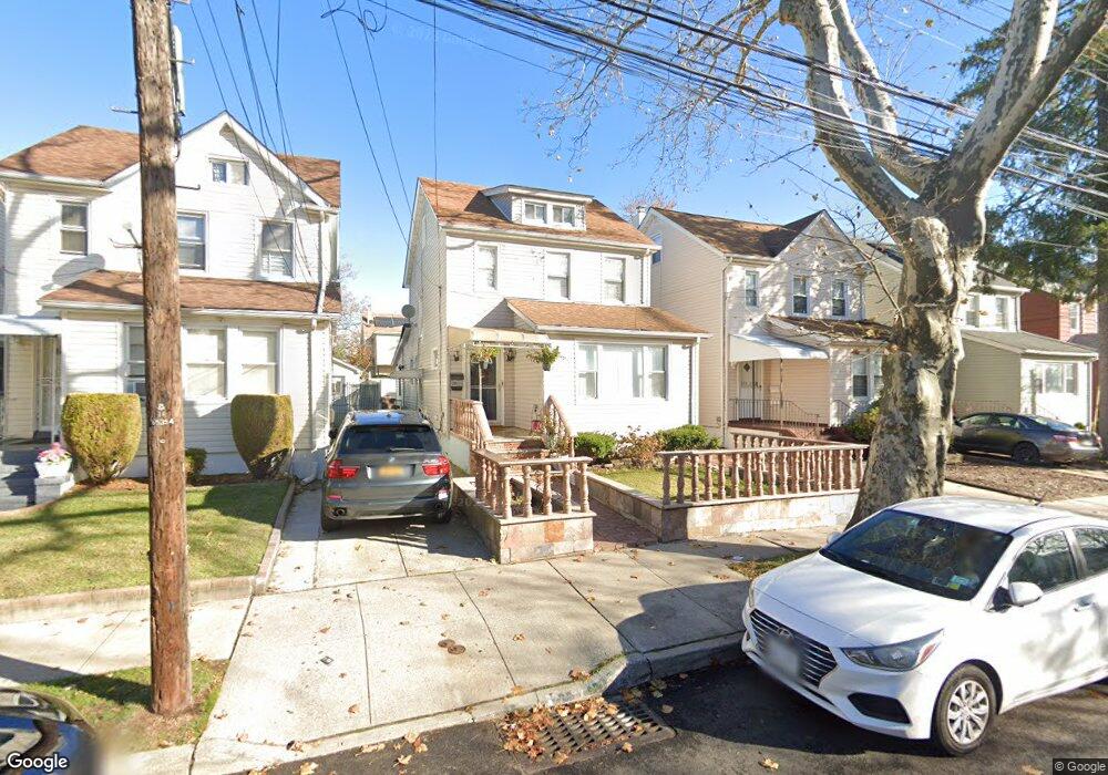
24333 Mayda Rd Rosedale, NY 11422
Rosedale NeighborhoodEstimated Value: $674,000 - $765,000
Studio
--
Bath
1,624
Sq Ft
$455/Sq Ft
Est. Value
About This Home
This home is located at 24333 Mayda Rd, Rosedale, NY 11422 and is currently estimated at $739,477, approximately $455 per square foot. 24333 Mayda Rd is a home located in Queens County with nearby schools including P.S. / M.S. 138 Sunrise, Collaborative Arts Middle School, and Success Academy Charter School - Rosedale.
Ownership History
Date
Name
Owned For
Owner Type
Purchase Details
Closed on
Apr 11, 2011
Sold by
Sirva Relocation Credit Llc
Bought by
Mcleod-Nelson Tricia-Kay
Current Estimated Value
Home Financials for this Owner
Home Financials are based on the most recent Mortgage that was taken out on this home.
Original Mortgage
$361,825
Outstanding Balance
$249,159
Interest Rate
4.76%
Mortgage Type
Purchase Money Mortgage
Estimated Equity
$490,318
Create a Home Valuation Report for This Property
The Home Valuation Report is an in-depth analysis detailing your home's value as well as a comparison with similar homes in the area
Home Values in the Area
Average Home Value in this Area
Purchase History
| Date | Buyer | Sale Price | Title Company |
|---|---|---|---|
| Mcleod-Nelson Tricia-Kay | $345,000 | -- | |
| Sirva Relocation Credit Llc | $345,000 | -- |
Source: Public Records
Mortgage History
| Date | Status | Borrower | Loan Amount |
|---|---|---|---|
| Open | Mcleod-Nelson Tricia-Kay | $361,825 |
Source: Public Records
Tax History
| Year | Tax Paid | Tax Assessment Tax Assessment Total Assessment is a certain percentage of the fair market value that is determined by local assessors to be the total taxable value of land and additions on the property. | Land | Improvement |
|---|---|---|---|---|
| 2025 | $5,850 | $31,458 | $5,924 | $25,534 |
| 2024 | $5,862 | $30,524 | $5,731 | $24,793 |
| 2023 | $5,504 | $28,805 | $5,124 | $23,681 |
| 2022 | $5,206 | $42,180 | $7,920 | $34,260 |
| 2021 | $5,495 | $34,980 | $7,920 | $27,060 |
| 2020 | $5,253 | $33,780 | $7,920 | $25,860 |
| 2019 | $5,028 | $37,200 | $7,920 | $29,280 |
| 2018 | $4,596 | $24,004 | $5,889 | $18,115 |
| 2017 | $4,374 | $22,929 | $6,467 | $16,462 |
| 2016 | $4,274 | $22,929 | $6,467 | $16,462 |
| 2015 | $2,389 | $21,846 | $6,951 | $14,895 |
| 2014 | $2,389 | $21,198 | $7,491 | $13,707 |
Source: Public Records
Map
Nearby Homes
- 24361 Mayda Rd
- 24358 Mayda Rd
- 24909 Mayda Rd
- 243-51 Caney Rd
- 146-15 243rd St
- 241-08 Newhall Ave
- 240-24 Caney Rd
- 14408 Weller Ln
- 253-22 147th Ave
- 14224 250th St
- 245-39 147th Dr
- 241-07 147th Ave
- 248-18 Memphis Ave
- 251-20 Memphis Ave
- 14772 Huxley St
- 241-06 141st Ave
- 25301 148th Ave
- 14146 253rd St
- 246-11 Memphis Ave
- 140-36 247th St
- 24337 Mayda Rd
- 24331 Mayda Rd
- 243-31 Mayda Rd
- 243-31 Mayda Rd Unit 2nd Fl
- 24339 Mayda Rd
- 24327 Mayda Rd
- 24343 Mayda Rd Unit 1
- 24343 Mayda Rd
- 24343 Mayda Rd Unit 2
- 243-25 Mayda Rd Unit 2
- 243-25 Mayda Rd
- 24343 Mayda Rd
- 24325 Mayda Rd
- 24334 145th Ave
- 24338 145th Ave
- 24332 145th Ave
- 243-34 145th Ave Unit 2
- 24340 145th Ave
- 243-45 Mayda Rd
- 24328 145th Ave
Your Personal Tour Guide
Ask me questions while you tour the home.