2434 Tom Cole Rd Unit A A Ponder, TX 76259
Estimated Value: $400,000 - $972,000
2
Beds
2
Baths
1,200
Sq Ft
$562/Sq Ft
Est. Value
About This Home
This home is located at 2434 Tom Cole Rd Unit A A, Ponder, TX 76259 and is currently estimated at $674,847, approximately $562 per square foot. 2434 Tom Cole Rd Unit A A is a home located in Denton County with nearby schools including Borman Elementary School, McMath Middle School, and Denton High School.
Ownership History
Date
Name
Owned For
Owner Type
Purchase Details
Closed on
Sep 18, 2015
Sold by
Turner Charles and Turner Clarice
Bought by
Abbley Brenda Gail
Current Estimated Value
Purchase Details
Closed on
Sep 29, 2006
Sold by
Rafes Richard S and Rafes Tommye Lou
Bought by
Turner Charles and Turner Clarice
Home Financials for this Owner
Home Financials are based on the most recent Mortgage that was taken out on this home.
Original Mortgage
$400,000
Interest Rate
6.51%
Mortgage Type
Purchase Money Mortgage
Create a Home Valuation Report for This Property
The Home Valuation Report is an in-depth analysis detailing your home's value as well as a comparison with similar homes in the area
Home Values in the Area
Average Home Value in this Area
Purchase History
| Date | Buyer | Sale Price | Title Company |
|---|---|---|---|
| Abbley Brenda Gail | -- | Fatco | |
| Turner Charles | -- | Rtt |
Source: Public Records
Mortgage History
| Date | Status | Borrower | Loan Amount |
|---|---|---|---|
| Previous Owner | Turner Charles | $400,000 |
Source: Public Records
Tax History Compared to Growth
Tax History
| Year | Tax Paid | Tax Assessment Tax Assessment Total Assessment is a certain percentage of the fair market value that is determined by local assessors to be the total taxable value of land and additions on the property. | Land | Improvement |
|---|---|---|---|---|
| 2025 | $5,135 | $356,097 | $91,242 | $300,758 |
| 2024 | $6,331 | $328,000 | $91,243 | $236,757 |
| 2023 | $4,963 | $322,609 | $85,638 | $256,362 |
| 2022 | $6,010 | $283,124 | $58,142 | $232,643 |
| 2021 | $5,452 | $245,259 | $29,322 | $215,937 |
| 2020 | $5,995 | $262,261 | $29,322 | $232,939 |
| 2019 | $6,013 | $252,000 | $29,322 | $222,678 |
| 2018 | $6,081 | $251,730 | $29,322 | $222,408 |
| 2017 | $6,031 | $244,000 | $29,322 | $214,678 |
| 2016 | $6,411 | $259,384 | $29,322 | $230,062 |
| 2015 | -- | $410,196 | $57,417 | $352,779 |
| 2013 | -- | $402,135 | $57,417 | $344,718 |
Source: Public Records
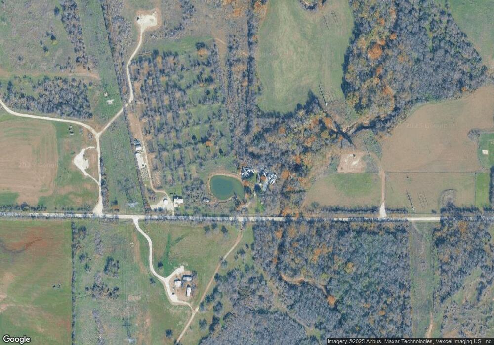
Map
Nearby Homes
- 9334 Jim Christal Rd
- 1155 Cottonwood Ln
- 1401 N Masch Branch Rd
- 6760 Fm 2449
- 8540 W University Dr
- 5521 Corduroy Rd
- 5513 Corduroy Rd
- 5549 Corduroy Rd
- 5520 Corduroy Rd
- 5577 Corduroy Rd
- 5552 Corduroy Rd
- 5332 Rollins Dr
- ESTERO Plan at Hickory Grove
- EASTON Plan at Hickory Grove
- DALTON Plan at Hickory Grove
- CAPROCK Plan at Hickory Grove
- elgin Plan at Hickory Grove
- BARTON Plan at Hickory Grove
- lakeway Plan at Hickory Grove
- BAXTER Plan at Hickory Grove