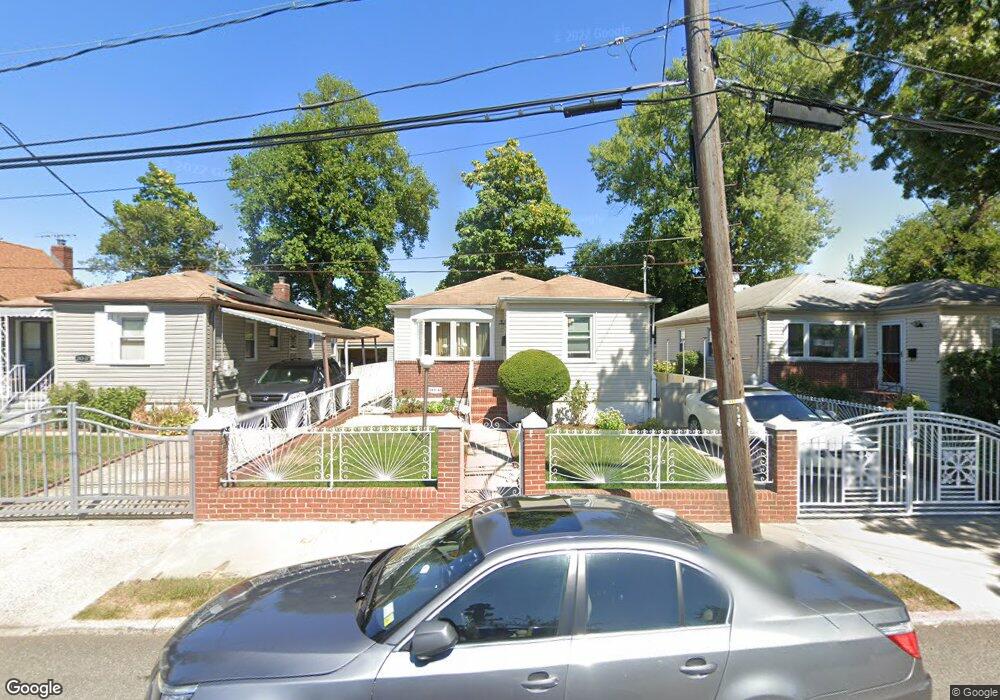
24341 132nd Rd Rosedale, NY 11422
Rosedale NeighborhoodEstimated Value: $595,799 - $738,000
--
Bed
--
Bath
864
Sq Ft
$774/Sq Ft
Est. Value
About This Home
This home is located at 24341 132nd Rd, Rosedale, NY 11422 and is currently estimated at $668,450, approximately $773 per square foot. 24341 132nd Rd is a home located in Queens County with nearby schools including P.S. 38 - Rosedale, Collaborative Arts Middle School, and Mona Prep.
Ownership History
Date
Name
Owned For
Owner Type
Purchase Details
Closed on
Aug 28, 2000
Sold by
Paultre Yanick
Bought by
Paul David
Current Estimated Value
Home Financials for this Owner
Home Financials are based on the most recent Mortgage that was taken out on this home.
Original Mortgage
$185,725
Outstanding Balance
$66,922
Interest Rate
7.94%
Estimated Equity
$601,528
Create a Home Valuation Report for This Property
The Home Valuation Report is an in-depth analysis detailing your home's value as well as a comparison with similar homes in the area
Home Values in the Area
Average Home Value in this Area
Purchase History
| Date | Buyer | Sale Price | Title Company |
|---|---|---|---|
| Paul David | $195,500 | -- |
Source: Public Records
Mortgage History
| Date | Status | Borrower | Loan Amount |
|---|---|---|---|
| Open | Paul David | $185,725 |
Source: Public Records
Tax History Compared to Growth
Tax History
| Year | Tax Paid | Tax Assessment Tax Assessment Total Assessment is a certain percentage of the fair market value that is determined by local assessors to be the total taxable value of land and additions on the property. | Land | Improvement |
|---|---|---|---|---|
| 2025 | $5,081 | $28,298 | $6,918 | $21,380 |
| 2024 | $5,093 | $26,698 | $7,186 | $19,512 |
| 2023 | $4,942 | $26,006 | $6,640 | $19,366 |
| 2022 | $4,680 | $29,880 | $8,640 | $21,240 |
| 2021 | $4,904 | $28,320 | $8,640 | $19,680 |
| 2020 | $4,696 | $27,660 | $8,640 | $19,020 |
| 2019 | $4,361 | $30,480 | $8,640 | $21,840 |
| 2018 | $4,120 | $21,672 | $7,725 | $13,947 |
| 2017 | $3,927 | $20,736 | $8,341 | $12,395 |
| 2016 | $3,807 | $20,736 | $8,341 | $12,395 |
| 2015 | $2,140 | $19,652 | $8,128 | $11,524 |
| 2014 | $2,140 | $18,540 | $8,760 | $9,780 |
Source: Public Records
Map
Nearby Homes
- 11 Jefferson Ave
- 132-29 Brookville Blvd
- 35 Harvard St
- 211 Ash St
- 64 Ormonde Blvd
- 131- 44 Laurelton Pkwy Unit Lower
- 134-33 242nd St
- 131-30 Laurelton Pkwy Unit Upper
- 204 Beech St
- 73 Broadway
- 23432 133rd Ave Unit LOWER
- 110 Roeckel Ave
- 13515 243rd St
- 135-15 243rd St
- 234-5 133rd Ave Unit Lower
- 63 Cumberland Place
- 20 Spring Garden St
- 131-31 234th St Unit 2nd Fl
- 130-21 235th St
- 131-09 234th St Unit Lower Level
- 243-45 132nd Rd
- 24337 132nd Rd
- 24345 132nd Rd
- 24337 132nd Rd
- 24333 132nd Rd
- 24349 132nd Rd
- 24342 132nd Ave
- 24338 132nd Ave
- 243-53 Hook Creek Blvd
- 24329 132nd Rd
- 24346 132nd Ave
- 24334 132nd Ave
- 24340 132nd Rd
- 24353 132nd Rd
- 243-30 132nd Ave
- 24330 132nd Ave
- 24352 132nd Ave
- 24353 132nd Rd
- 24325 132nd Rd
- 24409 Merrick Blvd