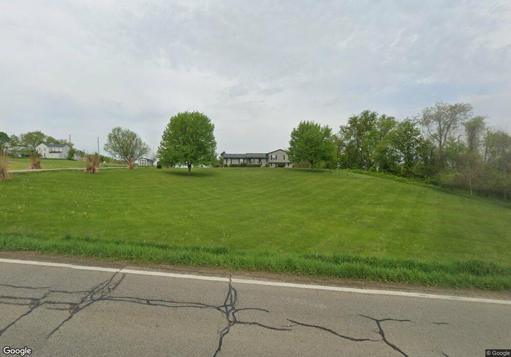
2435 Adamsville Rd Zanesville, OH 43701
Estimated Value: $314,000 - $384,000
4
Beds
2
Baths
1,700
Sq Ft
$207/Sq Ft
Est. Value
About This Home
This home is located at 2435 Adamsville Rd, Zanesville, OH 43701 and is currently estimated at $352,624, approximately $207 per square foot. 2435 Adamsville Rd is a home located in Muskingum County with nearby schools including National Road Elementary School, Zanesville Middle School, and Zanesville High School.
Ownership History
Date
Name
Owned For
Owner Type
Purchase Details
Closed on
Aug 7, 2013
Sold by
Porter Kristina
Bought by
Porter Randal
Current Estimated Value
Purchase Details
Closed on
Jun 25, 2004
Sold by
Porter Randal W
Bought by
Porter Randal W and Porter Kristina
Home Financials for this Owner
Home Financials are based on the most recent Mortgage that was taken out on this home.
Original Mortgage
$159,300
Interest Rate
6.12%
Mortgage Type
New Conventional
Purchase Details
Closed on
Sep 17, 2003
Sold by
Michel Regis E
Bought by
Porter Randal W
Create a Home Valuation Report for This Property
The Home Valuation Report is an in-depth analysis detailing your home's value as well as a comparison with similar homes in the area
Home Values in the Area
Average Home Value in this Area
Purchase History
| Date | Buyer | Sale Price | Title Company |
|---|---|---|---|
| Porter Randal | -- | None Available | |
| Porter Randal W | -- | Archer Land Title | |
| Porter Randal W | $8,766 | -- |
Source: Public Records
Mortgage History
| Date | Status | Borrower | Loan Amount |
|---|---|---|---|
| Previous Owner | Porter Randal W | $159,300 |
Source: Public Records
Tax History Compared to Growth
Tax History
| Year | Tax Paid | Tax Assessment Tax Assessment Total Assessment is a certain percentage of the fair market value that is determined by local assessors to be the total taxable value of land and additions on the property. | Land | Improvement |
|---|---|---|---|---|
| 2024 | $3,586 | $90,685 | $6,475 | $84,210 |
| 2023 | $3,031 | $71,190 | $3,990 | $67,200 |
| 2022 | $2,975 | $71,190 | $3,990 | $67,200 |
| 2021 | $2,950 | $71,190 | $3,990 | $67,200 |
| 2020 | $2,658 | $61,915 | $3,465 | $58,450 |
| 2019 | $2,657 | $61,915 | $3,465 | $58,450 |
| 2018 | $2,423 | $61,915 | $3,465 | $58,450 |
| 2017 | $2,300 | $52,021 | $3,476 | $48,545 |
| 2016 | $2,242 | $51,740 | $3,190 | $48,550 |
| 2015 | $2,244 | $51,740 | $3,190 | $48,550 |
| 2013 | $2,361 | $49,180 | $3,190 | $45,990 |
Source: Public Records
Map
Nearby Homes
- 2397 Adamsville Rd
- 2230 Adamsville Rd
- 2755 N Lawndale Place
- 496 Pleasant Grove Rd
- 2870 Cody Dr
- 2835 Adamsville Rd
- 2425 S Pleasant Grove Rd
- 2850 Watson Way
- 0 Bateman Rd
- 0 East Pike Unit 5163133
- 240 Mockingbird Hill
- 1605 Jackson Rd
- 3620 Old Wheeling Rd
- 3025 Virginia Ave
- 3025 Linden Ave
- 2465 Clay Pike
- 162 E Newman St
- 125 Summerwood Cir
- 2760 E Military Rd
- 440 Stardust Cir
- 2415 Adamsville Rd
- 2405 Adamsville Rd
- 2455 Adamsville Rd
- 2395 Adamsville Rd
- 2393 Adamsville Rd
- 2470 Adamsville Rd
- 2394 Adamsville Rd
- 2385 Adamsville Rd
- 0 Adamsville Rd Unit 3225993
- 0 Adamsville Rd Unit 3362291
- 0 Adamsville Rd Unit 3362270
- 0 Adamsville Rd Unit 3456033
- 0 Adamsville Rd Unit 3444470
- 0 Adamsville Rd Unit 3445114
- 0 Adamsville Rd Unit 3456034
- 0 Adamsville Rd Unit 3691180
- 0 Adamsville Rd Unit 5071945
- 0 Adamsville Rd Unit 212037341
- 0 Adamsville Rd Unit 212037355
- 0 Adamsville Rd Unit 4156005