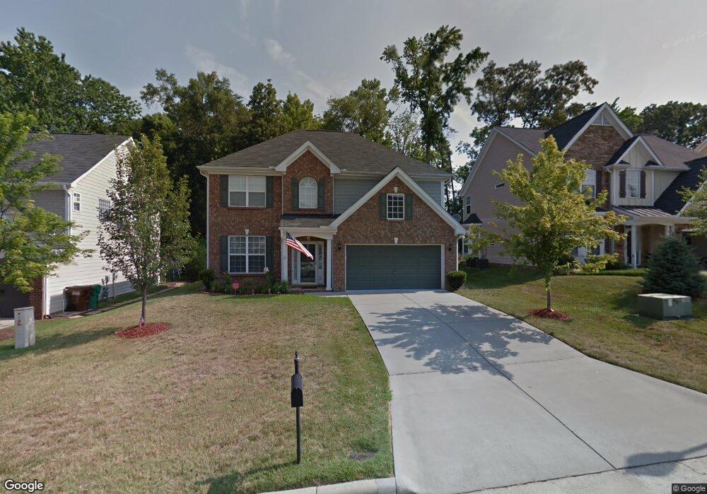
2435 Alderbrook Dr High Point, NC 27265
Sandy Ridge NeighborhoodEstimated Value: $382,868 - $426,000
5
Beds
3
Baths
2,443
Sq Ft
$167/Sq Ft
Est. Value
About This Home
This home is located at 2435 Alderbrook Dr, High Point, NC 27265 and is currently estimated at $407,717, approximately $166 per square foot. 2435 Alderbrook Dr is a home located in Guilford County with nearby schools including Southwest Elementary School, Southwest Guilford Middle School, and Southwest Guilford High School.
Ownership History
Date
Name
Owned For
Owner Type
Purchase Details
Closed on
Apr 28, 2006
Sold by
D R Horton Inc
Bought by
Brock Brad Elijah and Facorat Brock Regine M
Current Estimated Value
Home Financials for this Owner
Home Financials are based on the most recent Mortgage that was taken out on this home.
Original Mortgage
$222,314
Outstanding Balance
$128,091
Interest Rate
6.31%
Mortgage Type
VA
Estimated Equity
$279,626
Create a Home Valuation Report for This Property
The Home Valuation Report is an in-depth analysis detailing your home's value as well as a comparison with similar homes in the area
Home Values in the Area
Average Home Value in this Area
Purchase History
We collect this data history from publicly available records. To have your information removed, we recommend requesting removal directly through your county’s website.
| Date | Buyer | Sale Price | Title Company |
|---|---|---|---|
| Brock Brad Elijah | $218,000 | None Available |
Source: Public Records
Mortgage History
We collect this data history from publicly available records. To have your information removed, we recommend requesting removal directly through your county’s website.
| Date | Status | Borrower | Loan Amount |
|---|---|---|---|
| Open | Brock Brad Elijah | $222,314 |
Source: Public Records
Tax History
| Year | Tax Paid | Tax Assessment Tax Assessment Total Assessment is a certain percentage of the fair market value that is determined by local assessors to be the total taxable value of land and additions on the property. | Land | Improvement |
|---|---|---|---|---|
| 2025 | $3,350 | $288,100 | $78,000 | $210,100 |
| 2024 | $3,350 | $288,100 | $78,000 | $210,100 |
| 2023 | $3,350 | $288,100 | $78,000 | $210,100 |
| 2022 | $3,277 | $288,100 | $78,000 | $210,100 |
| 2021 | $2,332 | $214,200 | $52,000 | $162,200 |
| 2020 | $2,332 | $214,200 | $52,000 | $162,200 |
| 2019 | $2,332 | $214,200 | $0 | $0 |
| 2018 | $2,320 | $214,200 | $0 | $0 |
| 2017 | $2,320 | $214,200 | $0 | $0 |
| 2016 | $2,209 | $202,500 | $0 | $0 |
| 2015 | $2,221 | $202,500 | $0 | $0 |
| 2014 | $2,904 | $202,500 | $0 | $0 |
Source: Public Records
Map
Nearby Homes
- 2460 Alderbrook Dr
- 4713 Willowstone Dr
- 4715 Willowstone Dr
- 633 Stags Leap Ct
- 4712 Willowstone Dr
- 4714 Willowstone Dr
- 4725 Willowstone Dr
- 4716 Willowstone Dr
- 4737 Willowstone Dr
- 4722 Willowstone Dr
- 4743 Willowstone Dr
- 3208 Riley Ford Trail
- 661 Nikyle Cir
- 4386 Ashton Oaks Ct
- 4421 Ashton Oaks Ct
- 4430 Ashton Oaks Ct
- 3273 Alyssa Way
- 3021 Sycamore Point Trail
- 748 Carneros Cir
- 2309 Faircloth Way
- 2431 Alderbrook Dr
- 2439 Alderbrook Dr
- 2448 Bearded Iris Ln
- 2443 Alderbrook Dr
- 2427 Alderbrook Dr
- 2444 Bearded Iris Ln
- 2452 Bearded Iris Ln
- 2456 Bearded Iris Ln
- 2436 Alderbrook Dr
- 2447 Alderbrook Dr
- 2432 Alderbrook Dr
- 2440 Alderbrook Dr
- 2428 Alderbrook Dr
- 2444 Alderbrook Dr
- 2460 Bearded Iris Ln
- 2451 Alderbrook Dr
- 2420 Alderbrook Dr
- 2464 Bearded Iris Ln
- 2455 Alderbrook Dr
- 2447 Bearded Iris Ln
Your Personal Tour Guide
Ask me questions while you tour the home.