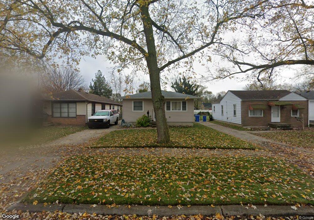
24355 McDonald St Dearborn Heights, MI 48125
Estimated Value: $153,000 - $173,000
3
Beds
2
Baths
1,000
Sq Ft
$163/Sq Ft
Est. Value
About This Home
This home is located at 24355 McDonald St, Dearborn Heights, MI 48125 and is currently estimated at $162,922, approximately $162 per square foot. 24355 McDonald St is a home located in Wayne County with nearby schools including West Village Academy and Quest Charter Academy.
Ownership History
Date
Name
Owned For
Owner Type
Purchase Details
Closed on
May 26, 2009
Sold by
Baisden Christine and Mccormick Jeanne
Bought by
Young Lisa D
Current Estimated Value
Home Financials for this Owner
Home Financials are based on the most recent Mortgage that was taken out on this home.
Original Mortgage
$57,832
Outstanding Balance
$36,657
Interest Rate
4.83%
Mortgage Type
FHA
Estimated Equity
$126,265
Purchase Details
Closed on
Feb 15, 1995
Sold by
Bucata Rosemary
Bought by
Dane Cappslmargarete E and Dane Christine
Create a Home Valuation Report for This Property
The Home Valuation Report is an in-depth analysis detailing your home's value as well as a comparison with similar homes in the area
Home Values in the Area
Average Home Value in this Area
Purchase History
| Date | Buyer | Sale Price | Title Company |
|---|---|---|---|
| Young Lisa D | $58,900 | Michigan Title Insurance Age | |
| Capps Margarete E | -- | Michigan Title Insurance Age | |
| Dane Cappslmargarete E | $47,000 | -- |
Source: Public Records
Mortgage History
| Date | Status | Borrower | Loan Amount |
|---|---|---|---|
| Open | Young Lisa D | $57,832 |
Source: Public Records
Tax History Compared to Growth
Tax History
| Year | Tax Paid | Tax Assessment Tax Assessment Total Assessment is a certain percentage of the fair market value that is determined by local assessors to be the total taxable value of land and additions on the property. | Land | Improvement |
|---|---|---|---|---|
| 2025 | $1,228 | $71,500 | $0 | $0 |
| 2024 | $1,228 | $65,600 | $0 | $0 |
| 2023 | $1,103 | $57,100 | $0 | $0 |
| 2022 | $1,498 | $49,100 | $0 | $0 |
| 2021 | $1,501 | $42,100 | $0 | $0 |
| 2019 | $1,365 | $33,200 | $0 | $0 |
| 2018 | $955 | $28,300 | $0 | $0 |
| 2017 | $752 | $28,200 | $0 | $0 |
| 2016 | $1,299 | $28,700 | $0 | $0 |
| 2015 | $2,680 | $26,800 | $0 | $0 |
| 2013 | $2,840 | $29,700 | $0 | $0 |
| 2010 | -- | $36,600 | $0 | $0 |
Source: Public Records
Map
Nearby Homes
- 24339 Eton Ave
- 24360 Pennie St
- 24117 Eton Ave
- 24443 Powers Ave
- 24426 Lehigh St
- 24035 Currier St
- 24727 Hopkins St
- 24409 Stanford St
- 24754 Annapolis St
- 24635 Stanford St
- 4489 Westpoint St
- 4856 Carolee Ln
- 4901 Cornell St
- 4506 Syracuse St
- 4147 Westlake St
- 4474 Syracuse St
- 4665 Syracuse St
- 4193 Cornell St
- 25118 Lehigh St
- 5689 Cornell St
- 24347 McDonald St
- 24363 McDonald St
- 24339 McDonald St
- 24371 McDonald St
- 24331 McDonald St
- 24379 McDonald St
- 24356 Eton Ave
- 24348 Eton Ave
- 24340 Eton Ave
- 24380 Eton Ave
- 24356 McDonald St
- 24348 McDonald St
- 24364 McDonald St
- 24332 Eton Ave
- 24372 Eton Ave
- 24395 McDonald St
- 24395 McDonald St
- 24372 McDonald St
- 24340 McDonald St
- 24315 McDonald St