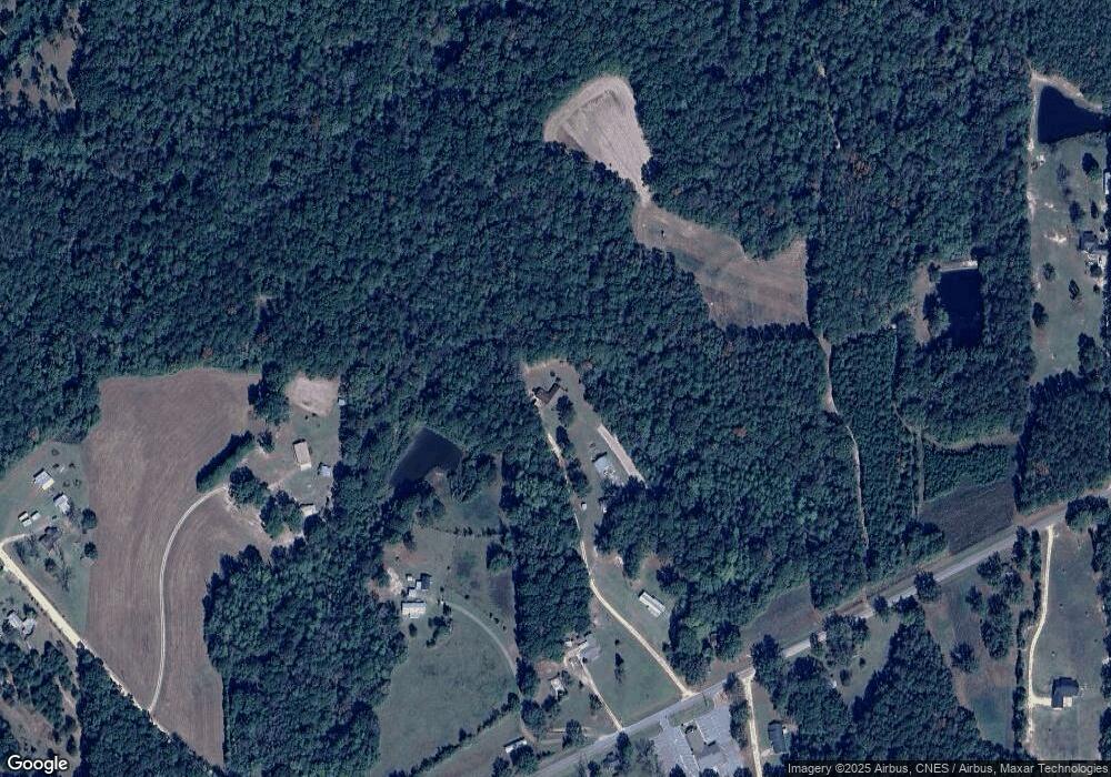
24357 Patt Ln Red Level, AL 36474
Estimated Value: $190,000 - $225,000
--
Bed
1
Bath
1,800
Sq Ft
$117/Sq Ft
Est. Value
About This Home
This home is located at 24357 Patt Ln, Red Level, AL 36474 and is currently estimated at $211,407, approximately $117 per square foot. 24357 Patt Ln is a home located in Covington County with nearby schools including Red Level Elementary School and Red Level High School.
Ownership History
Date
Name
Owned For
Owner Type
Purchase Details
Closed on
Oct 6, 2008
Sold by
Patterson Darwyn E and Patterson Darwin E
Bought by
Kelley Jody Wayne and Kelley Melody Jan
Current Estimated Value
Home Financials for this Owner
Home Financials are based on the most recent Mortgage that was taken out on this home.
Original Mortgage
$100,237
Outstanding Balance
$66,719
Interest Rate
6.45%
Mortgage Type
FHA
Estimated Equity
$144,688
Create a Home Valuation Report for This Property
The Home Valuation Report is an in-depth analysis detailing your home's value as well as a comparison with similar homes in the area
Home Values in the Area
Average Home Value in this Area
Purchase History
| Date | Buyer | Sale Price | Title Company |
|---|---|---|---|
| Kelley Jody Wayne | -- | None Available |
Source: Public Records
Mortgage History
| Date | Status | Borrower | Loan Amount |
|---|---|---|---|
| Open | Kelley Jody Wayne | $100,237 |
Source: Public Records
Tax History Compared to Growth
Tax History
| Year | Tax Paid | Tax Assessment Tax Assessment Total Assessment is a certain percentage of the fair market value that is determined by local assessors to be the total taxable value of land and additions on the property. | Land | Improvement |
|---|---|---|---|---|
| 2024 | $445 | $18,260 | $3,600 | $14,660 |
| 2023 | $446 | $16,800 | $3,040 | $13,760 |
| 2022 | $338 | $14,236 | $2,540 | $11,696 |
| 2021 | $302 | $12,941 | $2,573 | $10,368 |
| 2020 | $302 | $12,940 | $2,580 | $10,360 |
| 2019 | $285 | $12,280 | $2,660 | $9,620 |
| 2018 | $282 | $12,180 | $2,560 | $9,620 |
| 2017 | $267 | $0 | $0 | $0 |
| 2016 | $244 | $0 | $0 | $0 |
| 2015 | $261 | $0 | $0 | $0 |
| 2014 | $244 | $0 | $0 | $0 |
| 2013 | $248 | $10,917 | $2,455 | $8,462 |
Source: Public Records
Map
Nearby Homes
- 10 ac Ard Creek Rd
- 26929 Loango Rd
- 7322 Over Yonder Rd
- 00 Blackmon Rd
- 000 Ferrell Rd
- 0 Glisson Rd
- 28627 Ealum Mill Rd
- 0 County Road 107 Unit B
- 0 County Road 107 Unit A
- 31487 County Road 107
- 25440 Phillips Ln
- 29040 Smiley St
- 35422 Hester Store Rd
- 26466 Sunnyside St
- 19329 Ray Armstrong Rd
- 18747 Harley Ln
- 28080 Jim Foshee Rd
- Hwy 55
- Us Hwy 55 N
- 28374 Harbor Rd
- 24329 Anaheim Dr
- 5373 Ard Creek Rd
- 5234 Ard Creek Rd
- 5482 Ard Creek Rd
- 24168 Pressley Rd
- 5643 Ard Creek Rd
- 5480 Ard Creek Rd
- 24094 Pressley Rd
- 5071 Ard Creek Rd
- 5134 Ard Creek Rd
- 5624 Ard Creek Rd
- 24373 Rosin Ridge Rd
- 24281 Rosin Ridge Rd
- 24247 Rosin Ridge Rd
- 24264 Rosin Ridge Rd
- 5762 Ard Creek Rd
- 5662 Ard Creek Rd
- 25009 Rosin Ridge Rd
- 25154 Loango Rd
- 24919 Rosin Ridge Rd
