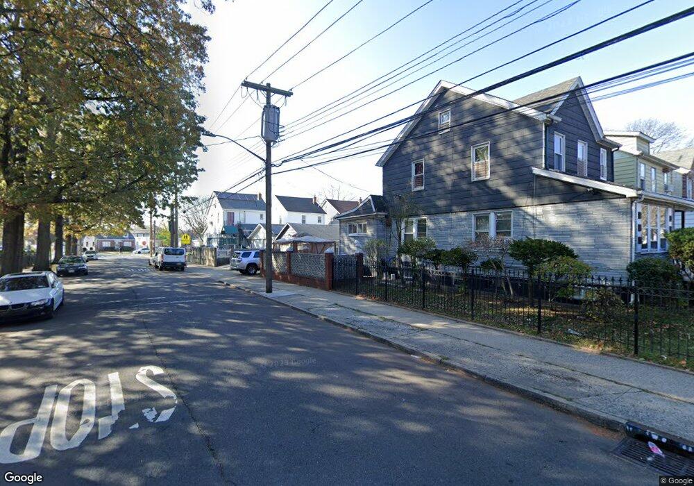
24362 Mayda Rd Rosedale, NY 11422
Rosedale NeighborhoodEstimated Value: $766,490 - $800,000
Studio
--
Bath
1,608
Sq Ft
$488/Sq Ft
Est. Value
About This Home
This home is located at 24362 Mayda Rd, Rosedale, NY 11422 and is currently estimated at $785,123, approximately $488 per square foot. 24362 Mayda Rd is a home located in Queens County with nearby schools including P.S. / M.S. 138 Sunrise, Collaborative Arts Middle School, and Success Academy Charter School - Rosedale.
Ownership History
Date
Name
Owned For
Owner Type
Purchase Details
Closed on
Feb 16, 2021
Sold by
Francis Philip
Bought by
Francis Trustee Timothy and Philip Francis 2021 Family Trust
Current Estimated Value
Purchase Details
Closed on
Nov 23, 2004
Sold by
Erivona Charles and Erivona Karen
Bought by
Francis Philip
Home Financials for this Owner
Home Financials are based on the most recent Mortgage that was taken out on this home.
Original Mortgage
$312,000
Interest Rate
5.63%
Mortgage Type
Purchase Money Mortgage
Create a Home Valuation Report for This Property
The Home Valuation Report is an in-depth analysis detailing your home's value as well as a comparison with similar homes in the area
Home Values in the Area
Average Home Value in this Area
Purchase History
| Date | Buyer | Sale Price | Title Company |
|---|---|---|---|
| Francis Trustee Timothy | -- | -- | |
| Francis Trustee Timothy | -- | -- | |
| Francis Philip | $400,000 | -- | |
| Francis Philip | $400,000 | -- |
Source: Public Records
Mortgage History
| Date | Status | Borrower | Loan Amount |
|---|---|---|---|
| Previous Owner | Francis Philip | $58,500 | |
| Previous Owner | Francis Philip | $312,000 |
Source: Public Records
Tax History
| Year | Tax Paid | Tax Assessment Tax Assessment Total Assessment is a certain percentage of the fair market value that is determined by local assessors to be the total taxable value of land and additions on the property. | Land | Improvement |
|---|---|---|---|---|
| 2025 | $5,605 | $27,907 | $5,816 | $22,091 |
| 2024 | $5,605 | $27,907 | $5,791 | $22,116 |
| 2023 | $5,563 | $27,696 | $5,456 | $22,240 |
| 2022 | $5,216 | $42,300 | $8,640 | $33,660 |
| 2021 | $5,188 | $35,040 | $8,640 | $26,400 |
| 2020 | $4,923 | $37,020 | $8,640 | $28,380 |
| 2019 | $4,865 | $34,080 | $8,640 | $25,440 |
| 2018 | $4,705 | $23,080 | $5,977 | $17,103 |
| 2017 | $4,439 | $21,774 | $6,906 | $14,868 |
| 2016 | $4,107 | $21,774 | $6,906 | $14,868 |
| 2015 | $2,935 | $19,380 | $7,740 | $11,640 |
| 2014 | $2,935 | $19,380 | $7,740 | $11,640 |
Source: Public Records
Map
Nearby Homes
- 24909 Mayda Rd
- 24361 Mayda Rd
- 24358 Mayda Rd
- 253-22 147th Ave
- 24930 147th Rd
- 14408 Weller Ln
- 243-51 Caney Rd
- 245-39 147th Dr
- 146-15 243rd St
- 25301 148th Ave
- 241-08 Newhall Ave
- 14224 250th St
- 14772 Huxley St
- 251-20 Memphis Ave
- 241-07 147th Ave
- 14146 253rd St
- 25519 148th Ave
- 240-24 Caney Rd
- 245-47 148th Dr
- 248-18 Memphis Ave
- 243-58 Mayda Rd
- 24356 Mayda Rd
- 243-52 Mayda Rd Unit 2nd FL
- 24352 Mayda Rd
- 24535 Newhall Ave
- 24531 Newhall Ave
- 24529 Newhall Ave
- 243-50 Mayda Rd
- 146-07 249th St
- 24350 Mayda Rd
- 14607 249th St
- 14603 249th St
- 245-25 Newhall Ave
- 24525 Newhall Ave
- 14611 249th St
- 24346 Mayda Rd
- 24359 Mayda Rd Unit 2nd Fl
- 24359 Mayda Rd
- 24523 Newhall Ave
- 243-55 Mayda Rd Unit 2 Fl
Your Personal Tour Guide
Ask me questions while you tour the home.