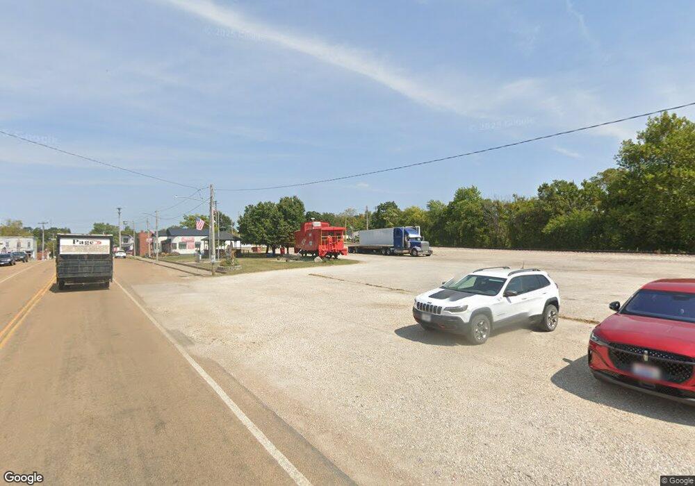
24363 Highway U Crocker, MO 65452
Estimated Value: $125,000 - $237,179
Studio
1
Bath
1,913
Sq Ft
$104/Sq Ft
Est. Value
About This Home
This home is located at 24363 Highway U, Crocker, MO 65452 and is currently estimated at $199,726, approximately $104 per square foot. 24363 Highway U is a home with nearby schools including Crocker Elementary School and Crocker High School.
Ownership History
Date
Name
Owned For
Owner Type
Purchase Details
Closed on
Sep 13, 2006
Sold by
Smith Stanley E and Smith Peggy J
Bought by
Neuman Chad and Wall Holly
Current Estimated Value
Home Financials for this Owner
Home Financials are based on the most recent Mortgage that was taken out on this home.
Original Mortgage
$26,531
Interest Rate
6.51%
Mortgage Type
Unknown
Create a Home Valuation Report for This Property
The Home Valuation Report is an in-depth analysis detailing your home's value as well as a comparison with similar homes in the area
Purchase History
| Date | Buyer | Sale Price | Title Company |
|---|---|---|---|
| Neuman Chad | -- | None Available |
Source: Public Records
Mortgage History
| Date | Status | Borrower | Loan Amount |
|---|---|---|---|
| Closed | Neuman Chad | $26,531 | |
| Closed | Neuman Chad | $55,438 |
Source: Public Records
Tax History
| Year | Tax Paid | Tax Assessment Tax Assessment Total Assessment is a certain percentage of the fair market value that is determined by local assessors to be the total taxable value of land and additions on the property. | Land | Improvement |
|---|---|---|---|---|
| 2025 | $791 | $20,955 | $2,455 | $18,500 |
| 2024 | $8 | $18,893 | $2,075 | $16,818 |
| 2023 | $777 | $18,893 | $2,075 | $16,818 |
| 2022 | $777 | $18,893 | $2,075 | $16,818 |
| 2021 | $777 | $18,893 | $2,075 | $16,818 |
| 2020 | $748 | $18,628 | $0 | $0 |
| 2019 | $748 | $18,092 | $0 | $0 |
| 2018 | $748 | $18,109 | $0 | $0 |
| 2017 | $748 | $6,006 | $0 | $0 |
| 2016 | $748 | $18,110 | $0 | $0 |
| 2015 | -- | $18,110 | $0 | $0 |
| 2014 | $297 | $18,110 | $0 | $0 |
Source: Public Records
Map
Nearby Homes
- 0 Tbd Unit 3584052
- 217 Hawkins Ave
- 219 Hawkins Ave
- 210 Hawkins Ave
- 304 10th St
- 000 Bison Rd
- 612 York St
- 313 Keeth Rd
- 124 N Commercial St
- 106 College St
- 102 Branch Ln
- 111 Eastside St
- 120 N Commercial St
- 110 Park Place
- 104 Howard St
- 103 Martha Ave
- 308 S Frisco St
- 319 Harold St
- 103 Bell Creek Rd
- 230 Sweet Valley Cir
- 24425 Highway U
- 24000 Highway U
- 13895 Belle Rd
- 13917 Belle Rd
- 24475 Highway U
- 13785 Belle Rd
- 13815 Belle Rd
- 13775 Belle Rd
- 13980 Belle Rd
- 24197 Beaver Rd
- 24505 Highway U
- 13784 Belle Rd
- 24050 Highway U
- 13769 Belle Rd
- 24540 W Highway U
- 24195 Beaver Rd
- 18997 Blue Rd
- 13751 Belle Rd
- 14350 Brake Dr
- 24405 Brewer Rd
Your Personal Tour Guide
Ask me questions while you tour the home.
