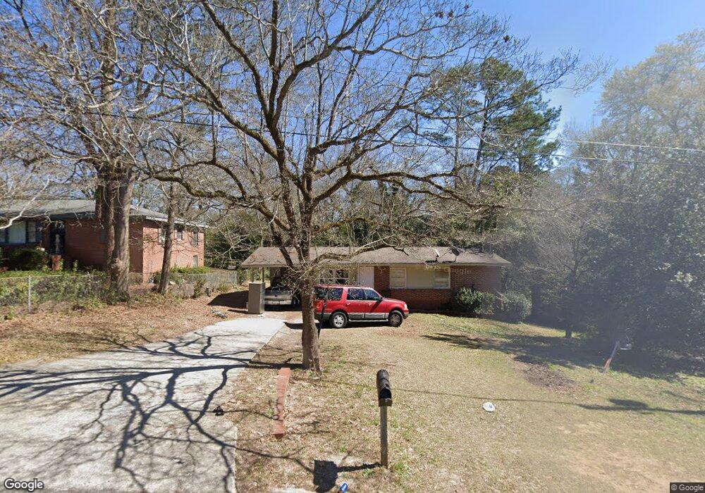
2437 Bristol Dr Macon, GA 31217
Estimated Value: $70,000 - $91,000
3
Beds
1
Bath
975
Sq Ft
$81/Sq Ft
Est. Value
About This Home
This home is located at 2437 Bristol Dr, Macon, GA 31217 and is currently estimated at $78,554, approximately $80 per square foot. 2437 Bristol Dr is a home located in Bibb County with nearby schools including Martin Luther King Jr. Elementary School, Appling Middle School, and Northeast High School.
Ownership History
Date
Name
Owned For
Owner Type
Purchase Details
Closed on
Nov 10, 2011
Sold by
Fannie Mae
Bought by
Lowe William E
Current Estimated Value
Purchase Details
Closed on
Aug 2, 2011
Sold by
Bank Of America Na
Bought by
Federal National Mortgage Association
Purchase Details
Closed on
Apr 15, 2005
Sold by
Bank One N A
Bought by
Hicks Joseph
Purchase Details
Closed on
Dec 7, 2004
Purchase Details
Closed on
Apr 5, 2002
Create a Home Valuation Report for This Property
The Home Valuation Report is an in-depth analysis detailing your home's value as well as a comparison with similar homes in the area
Home Values in the Area
Average Home Value in this Area
Purchase History
| Date | Buyer | Sale Price | Title Company |
|---|---|---|---|
| Lowe William E | $10,000 | None Available | |
| Federal National Mortgage Association | $10,900 | None Available | |
| Bank Of America Na | $10,900 | None Available | |
| Hicks Joseph | $38,000 | None Available | |
| Hicks Joseph | $36,000 | None Avilebel | |
| -- | $46,800 | -- | |
| Bank One Na | $48,841 | None Available | |
| -- | $56,000 | -- |
Source: Public Records
Tax History Compared to Growth
Tax History
| Year | Tax Paid | Tax Assessment Tax Assessment Total Assessment is a certain percentage of the fair market value that is determined by local assessors to be the total taxable value of land and additions on the property. | Land | Improvement |
|---|---|---|---|---|
| 2025 | $481 | $19,562 | $3,480 | $16,082 |
| 2024 | $497 | $19,562 | $3,480 | $16,082 |
| 2023 | $497 | $19,562 | $3,480 | $16,082 |
| 2022 | $450 | $12,198 | $2,090 | $10,108 |
| 2021 | $333 | $8,764 | $1,393 | $7,371 |
| 2020 | $290 | $7,479 | $1,161 | $6,318 |
| 2019 | $293 | $7,479 | $1,161 | $6,318 |
| 2018 | $628 | $7,479 | $1,161 | $6,318 |
| 2017 | $280 | $7,479 | $1,161 | $6,318 |
| 2016 | $251 | $7,269 | $1,161 | $6,108 |
| 2015 | $375 | $7,656 | $1,548 | $6,108 |
| 2014 | $477 | $8,430 | $2,322 | $6,108 |
Source: Public Records
Map
Nearby Homes
- 2229 New Clinton Rd
- 2370 Recreation Rd
- 2130 New Clinton Rd
- 2675 Andy Dr
- 2146 Melton Ave
- 2720 Jordan Ave
- 2066 Melton Ave
- 860 Morningside Dr
- 2954 Tyler Place
- 1840 Kinder Kare Dr
- 875 Artic Cir
- 1818 Kinder Kare Dr
- 837 Artic Cir
- 875 Artic Place
- 4436 Jeffersonville Rd
- 2940 Shurling Dr
- 2750 Lakeshore Dr
- 3048 Bethune Ave
- 2792 Skyline Dr
- 3128 Commodore Dr
- 2431 Bristol Dr
- 2443 Bristol Dr
- 2425 Bristol Dr
- 2449 Bristol Dr
- 2611 Finney Cir
- 2438 Bristol Dr
- 2455 Bristol Dr
- 2430 Bristol Dr
- 2446 Bristol Dr
- 2419 Bristol Dr
- 2420 Bristol Dr
- 2461 Bristol Dr
- 2413 Bristol Dr
- 2381 Danbury Dr
- 2410 Bristol Dr
- 2373 Danbury Dr
- 2467 Bristol Dr
- 2400 Bristol Dr
- 2396 Danbury Dr
- 2367 Danbury Dr