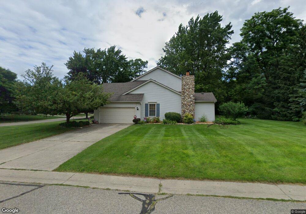
2437 Harness West Bloomfield, MI 48324
Estimated Value: $444,741 - $506,000
4
Beds
3
Baths
2,590
Sq Ft
$183/Sq Ft
Est. Value
About This Home
This home is located at 2437 Harness, West Bloomfield, MI 48324 and is currently estimated at $473,685, approximately $182 per square foot. 2437 Harness is a home located in Oakland County with nearby schools including Waterford Montessori Academy, Our Lady Of Refuge School, and Lakecrest Baptist School.
Ownership History
Date
Name
Owned For
Owner Type
Purchase Details
Closed on
Jun 29, 2016
Sold by
Roose Michael G and Roose Teresa Michaels
Bought by
Roose Michael G and Roose Teresa Michaels
Current Estimated Value
Home Financials for this Owner
Home Financials are based on the most recent Mortgage that was taken out on this home.
Original Mortgage
$124,525
Interest Rate
3.66%
Mortgage Type
New Conventional
Purchase Details
Closed on
Sep 12, 2015
Sold by
Roose Michael G and Roose Teresa Michaels
Bought by
Roose Michael G and Roose Teresa Michaels
Create a Home Valuation Report for This Property
The Home Valuation Report is an in-depth analysis detailing your home's value as well as a comparison with similar homes in the area
Home Values in the Area
Average Home Value in this Area
Purchase History
| Date | Buyer | Sale Price | Title Company |
|---|---|---|---|
| Roose Michael G | -- | Title Source Inc | |
| Roose Michael G | -- | Title Source Inc | |
| Roose Michael G | -- | Attorney |
Source: Public Records
Mortgage History
| Date | Status | Borrower | Loan Amount |
|---|---|---|---|
| Closed | Roose Michael G | $124,525 |
Source: Public Records
Tax History
| Year | Tax Paid | Tax Assessment Tax Assessment Total Assessment is a certain percentage of the fair market value that is determined by local assessors to be the total taxable value of land and additions on the property. | Land | Improvement |
|---|---|---|---|---|
| 2025 | $4,775 | $199,860 | $25,490 | $174,370 |
| 2024 | $2,976 | $187,310 | $0 | $0 |
| 2022 | $2,849 | $150,680 | $25,490 | $125,190 |
| 2021 | $4,330 | $146,050 | $0 | $0 |
| 2020 | $2,792 | $143,650 | $25,490 | $118,160 |
| 2018 | $4,175 | $137,710 | $19,140 | $118,570 |
| 2015 | -- | $109,670 | $0 | $0 |
| 2014 | -- | $100,680 | $0 | $0 |
| 2011 | -- | $97,310 | $0 | $0 |
Source: Public Records
Map
Nearby Homes
- 6313 Kiev St
- 6620 Red Cedar Ln Unit 37
- 1985 Christopher Ct
- Lot 94 Hiller Rd
- 1860 Hiller Rd
- 2833 Hiller Rd
- 7145 Henry Dr
- 7110 Commerce Rd
- 5699 Applegrove Dr
- 3195 Green Oaks Dr
- 7240 Aaronway Dr
- 2501 Doleman Dr
- VAC Mercedes Ave
- 6707 Heatherwood Dr
- 5920 Greer Rd
- 5809 Hartwick Dr
- 2110 Peachtree Ct
- 1701 Marylestone Dr
- 3120 Point of the Woods Dr
- 6835 High Ridge Rd
Your Personal Tour Guide
Ask me questions while you tour the home.