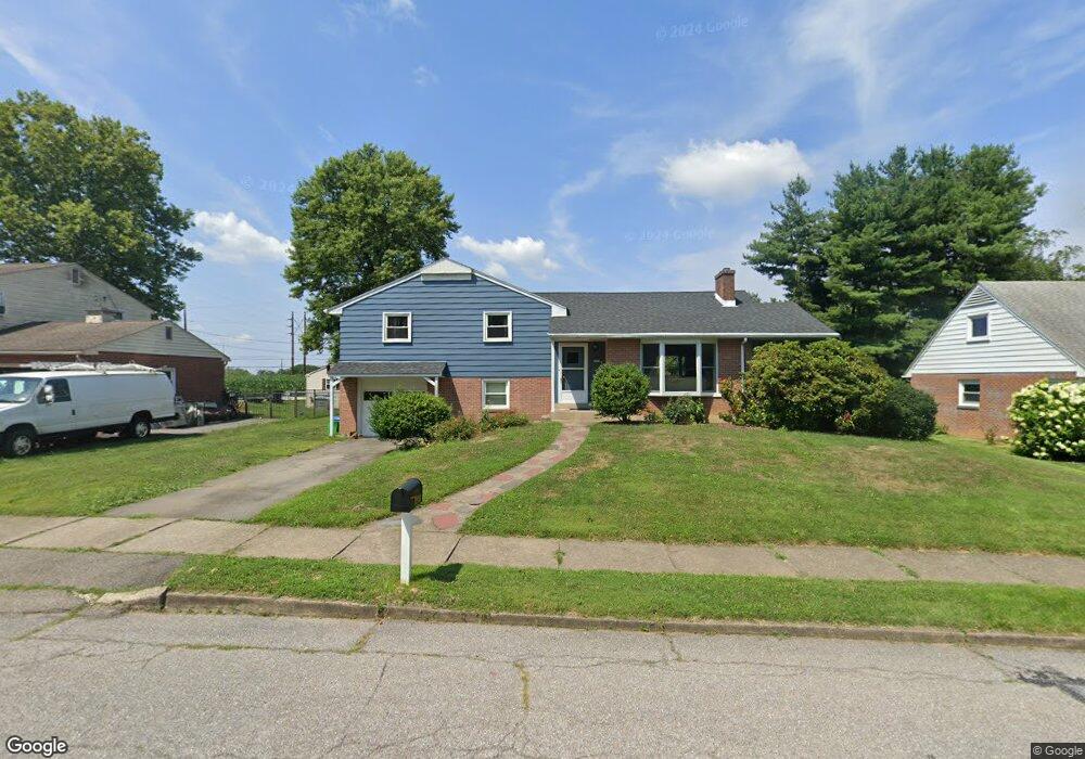
2437 Woodstock Dr Bethlehem, PA 18017
Northeast Bethlehem NeighborhoodEstimated Value: $359,351 - $384,000
3
Beds
3
Baths
1,624
Sq Ft
$230/Sq Ft
Est. Value
About This Home
This home is located at 2437 Woodstock Dr, Bethlehem, PA 18017 and is currently estimated at $373,588, approximately $230 per square foot. 2437 Woodstock Dr is a home located in Northampton County with nearby schools including Spring Garden Elementary School, Northeast Middle School, and Liberty High School.
Ownership History
Date
Name
Owned For
Owner Type
Purchase Details
Closed on
Jan 20, 2010
Sold by
Hintze Jennifer and Reynolds Jennifer L
Bought by
Reynolds Scott B and Reynolds Jennifer L
Current Estimated Value
Purchase Details
Closed on
May 29, 2009
Sold by
Depalma Carole E
Bought by
Hintze Jennifer
Home Financials for this Owner
Home Financials are based on the most recent Mortgage that was taken out on this home.
Original Mortgage
$170,000
Outstanding Balance
$107,755
Interest Rate
4.83%
Mortgage Type
Purchase Money Mortgage
Estimated Equity
$265,833
Create a Home Valuation Report for This Property
The Home Valuation Report is an in-depth analysis detailing your home's value as well as a comparison with similar homes in the area
Home Values in the Area
Average Home Value in this Area
Purchase History
| Date | Buyer | Sale Price | Title Company |
|---|---|---|---|
| Reynolds Scott B | -- | None Available | |
| Hintze Jennifer | $200,000 | None Available |
Source: Public Records
Mortgage History
| Date | Status | Borrower | Loan Amount |
|---|---|---|---|
| Open | Hintze Jennifer | $170,000 |
Source: Public Records
Tax History Compared to Growth
Tax History
| Year | Tax Paid | Tax Assessment Tax Assessment Total Assessment is a certain percentage of the fair market value that is determined by local assessors to be the total taxable value of land and additions on the property. | Land | Improvement |
|---|---|---|---|---|
| 2025 | $646 | $59,800 | $18,900 | $40,900 |
| 2024 | $5,286 | $59,800 | $18,900 | $40,900 |
| 2023 | $5,286 | $59,800 | $18,900 | $40,900 |
| 2022 | $5,244 | $59,800 | $18,900 | $40,900 |
| 2021 | $5,209 | $59,800 | $18,900 | $40,900 |
| 2020 | $5,160 | $59,800 | $18,900 | $40,900 |
| 2019 | $5,142 | $59,800 | $18,900 | $40,900 |
| 2018 | $5,017 | $59,800 | $18,900 | $40,900 |
| 2017 | $4,957 | $59,800 | $18,900 | $40,900 |
| 2016 | -- | $59,800 | $18,900 | $40,900 |
| 2015 | -- | $59,800 | $18,900 | $40,900 |
| 2014 | -- | $59,800 | $18,900 | $40,900 |
Source: Public Records
Map
Nearby Homes
- 2328 Linden St
- 2534 Linden St
- 2213 Montgomery St
- 1055 Decatur St
- 2236 Lincoln St
- 1063 Westbury Dr
- 1221 Parson St
- 2155 Lafayette Ave
- 1867 Major St
- 315 Carver Dr
- 2029 Michael St
- 1738 Madison Ave
- 1201 Butztown Rd Unit 1
- 2850 Greenleaf Ct
- 2011 Mary St
- 339 E Washington Ave
- 313 E Washington Ave
- 2860 Center St
- 750 Johnston Dr
- 943 Crawford St
- 2445 Woodstock Dr
- 2429 Woodstock Dr
- 2455 Woodstock Dr
- 2421 Woodstock Dr
- 2440 Woodstock Dr
- 2450 Woodstock Dr
- 2465 Woodstock Dr
- 2411 Woodstock Dr
- 2428 Langhorne Dr
- 2420 Langhorne Dr
- 2453 Langhorne Dr
- 2466 Woodstock Dr
- 2410 Woodstock Dr
- 2406 Woodstock Dr
- 2406 Woodstock Dr Unit B
- 2444 Langhorne Dr
- 2404 Woodstock Dr
- 2404 Woodstock Dr Unit B
- 2465 Langhorne Dr
- 2454 Langhorne Dr