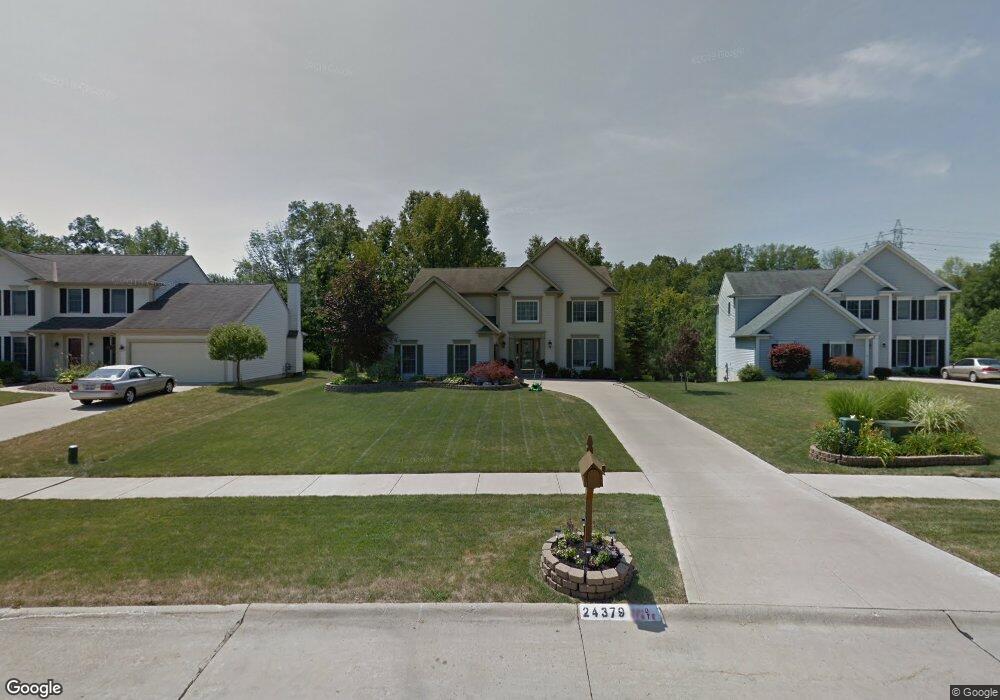
24379 Wilderness Trail Olmsted Falls, OH 44138
Estimated Value: $424,144 - $500,000
4
Beds
3
Baths
2,804
Sq Ft
$160/Sq Ft
Est. Value
About This Home
This home is located at 24379 Wilderness Trail, Olmsted Falls, OH 44138 and is currently estimated at $447,786, approximately $159 per square foot. 24379 Wilderness Trail is a home located in Cuyahoga County with nearby schools including Falls-Lenox Primary Elementary School, Olmsted Falls Intermediate Building, and Olmsted Falls Middle School.
Ownership History
Date
Name
Owned For
Owner Type
Purchase Details
Closed on
Jul 20, 1999
Sold by
Bridlewood Homes Inc
Bought by
Nicolay Michael A and Nicolay Denise M
Current Estimated Value
Home Financials for this Owner
Home Financials are based on the most recent Mortgage that was taken out on this home.
Original Mortgage
$195,000
Outstanding Balance
$55,528
Interest Rate
7.77%
Estimated Equity
$392,258
Create a Home Valuation Report for This Property
The Home Valuation Report is an in-depth analysis detailing your home's value as well as a comparison with similar homes in the area
Home Values in the Area
Average Home Value in this Area
Purchase History
| Date | Buyer | Sale Price | Title Company |
|---|---|---|---|
| Nicolay Michael A | $256,000 | Ctic |
Source: Public Records
Mortgage History
| Date | Status | Borrower | Loan Amount |
|---|---|---|---|
| Open | Nicolay Michael A | $195,000 |
Source: Public Records
Tax History Compared to Growth
Tax History
| Year | Tax Paid | Tax Assessment Tax Assessment Total Assessment is a certain percentage of the fair market value that is determined by local assessors to be the total taxable value of land and additions on the property. | Land | Improvement |
|---|---|---|---|---|
| 2024 | $8,832 | $137,480 | $24,815 | $112,665 |
| 2023 | $8,410 | $107,350 | $21,600 | $85,750 |
| 2022 | $8,351 | $107,350 | $21,600 | $85,750 |
| 2021 | $8,268 | $107,350 | $21,600 | $85,750 |
| 2020 | $8,376 | $96,710 | $19,460 | $77,250 |
| 2019 | $7,435 | $276,300 | $55,600 | $220,700 |
| 2018 | $7,540 | $96,710 | $19,460 | $77,250 |
| 2017 | $7,599 | $91,530 | $15,820 | $75,710 |
| 2016 | $7,563 | $91,530 | $15,820 | $75,710 |
| 2015 | $7,505 | $91,530 | $15,820 | $75,710 |
| 2014 | $7,505 | $86,350 | $14,910 | $71,440 |
Source: Public Records
Map
Nearby Homes
- 8757 Roberts Ct Unit 25C
- Anderson Plan at Smokestack Trails
- Bramante Ranch Plan at Smokestack Trails
- Hudson Plan at Smokestack Trails
- Columbia Plan at Smokestack Trails
- Lehigh Plan at Smokestack Trails
- 396 Crossbrook Dr
- 8241 Lewis Rd
- 0
- Caroline Plan at Falls Landing - Villas
- Wexford Plan at Falls Landing - Villas
- Rosecliff Plan at Falls Landing - Villas
- 549 Wyleswood Dr
- 543 Wyleswood Dr
- 537 Wyleswood Dr
- 23514 Grist Mill Ct Unit 4
- 136 River Rock Way Unit D
- 100 River Rock Way
- 23390 Wainwright Terrace
- 105 Clay Ct
- 24357 Wilderness Trail
- 24391 Wilderness Trail
- 24335 Wilderness Trail
- 24447 Wilderness Trail
- 8858 Forest View Dr
- 24459 Wilderness Trail
- 24313 Wilderness Trail
- 24464 Wilderness Trail
- 24400 Wilderness Trail
- 8863 Forest View Dr
- 8826 Forest View Dr
- 24190 Wilderness Trail
- 24299 Wilderness Trail
- 24452 Wilderness Trail
- 8884 Morgans Run Unit 7A
- 8882 Morgans Run Unit 7B
- 8831 Forest View Dr
- 8804 Forest View Dr
- 24130 Wilderness Trail
- 24227 Wilderness Trail