Estimated Value: $474,000 - $547,000
4
Beds
2
Baths
2,890
Sq Ft
$178/Sq Ft
Est. Value
About This Home
This home is located at 2438 E Lake Dr, Union, NE 68455 and is currently estimated at $514,720, approximately $178 per square foot. 2438 E Lake Dr is a home located in Cass County with nearby schools including Conestoga Elementary School and Conestoga Junior/Senior High School.
Ownership History
Date
Name
Owned For
Owner Type
Purchase Details
Closed on
Nov 30, 2009
Sold by
Woods Robert G and Woods Deena L
Bought by
Sauvageau Phillip and Sauvageau Emily
Current Estimated Value
Home Financials for this Owner
Home Financials are based on the most recent Mortgage that was taken out on this home.
Original Mortgage
$224,000
Outstanding Balance
$145,525
Interest Rate
5.06%
Mortgage Type
Purchase Money Mortgage
Estimated Equity
$369,195
Purchase Details
Closed on
Feb 16, 2006
Sold by
Woods Robert G
Bought by
Woods Robert G
Purchase Details
Closed on
Nov 15, 2001
Sold by
Sherwin Scott A and Sherwin Susan J
Bought by
Woods Robert G and Woods Pamela J
Create a Home Valuation Report for This Property
The Home Valuation Report is an in-depth analysis detailing your home's value as well as a comparison with similar homes in the area
Purchase History
| Date | Buyer | Sale Price | Title Company |
|---|---|---|---|
| Sauvageau Phillip | $280,000 | -- | |
| Woods Robert G | -- | -- | |
| Woods Robert G | $253,500 | -- |
Source: Public Records
Mortgage History
| Date | Status | Borrower | Loan Amount |
|---|---|---|---|
| Open | Sauvageau Phillip | $224,000 |
Source: Public Records
Tax History
| Year | Tax Paid | Tax Assessment Tax Assessment Total Assessment is a certain percentage of the fair market value that is determined by local assessors to be the total taxable value of land and additions on the property. | Land | Improvement |
|---|---|---|---|---|
| 2025 | $12,956 | $450,865 | $140,840 | $310,025 |
| 2024 | $12,545 | $450,865 | $140,840 | $310,025 |
| 2023 | $11,952 | $424,475 | $122,500 | $301,975 |
| 2022 | $11,844 | $409,070 | $128,625 | $280,445 |
| 2021 | $10,699 | $357,080 | $98,000 | $259,080 |
| 2020 | $9,775 | $322,431 | $91,140 | $231,291 |
| 2019 | $9,185 | $340,064 | $81,648 | $258,416 |
| 2018 | $8,398 | $314,874 | $75,600 | $239,274 |
| 2017 | $7,839 | $291,550 | $70,000 | $221,550 |
| 2016 | $7,650 | $291,550 | $70,000 | $221,550 |
| 2015 | $7,628 | $291,550 | $70,000 | $221,550 |
| 2014 | $9,999 | $291,550 | $70,000 | $221,550 |
Source: Public Records
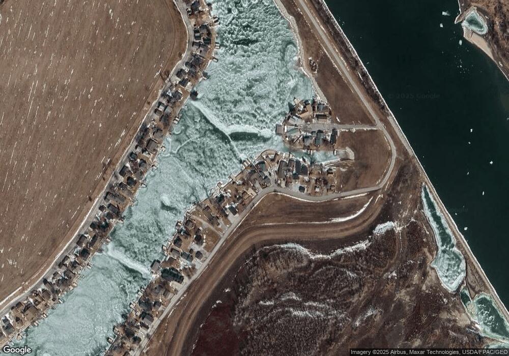
Map
Nearby Homes
- 2109 W Shore Dr
- 1231 Western Ave
- 910 Alt Hwy 75
- 67729 195th St
- 2510 Murray Rd
- 8523 Riverdale Rd
- 2203 Beaver Lake Blvd
- 2106 Murray Rd
- 1714 Murray Rd
- 1940 Murray Rd
- 1948 Murray Rd
- 1928 Murray Rd
- 8616 Emerson Rd
- 1910 Murray Rd
- 1360 Harvest Dr
- 8504 Lake Ridge Dr
- 8505 Eagle Point
- 1867 Lake Ridge Dr
- 1859 Lake Ridge Dr
- 1831 Lake Ridge Dr
- 2442 E Lake Dr
- 2436 E Lake Dr
- 2444 E Lake Dr
- 2446 E Lake Dr
- 2428 E Lake Dr
- 2450 E Lake Dr
- 2426 E Lake Dr
- 4111 Bull Frog Bay Dr
- 2454 E Lake Dr
- 4117 Bull Frog Bay Dr
- 4112 Bull Frog Bay Dr
- 4119 Bull Frog Bay Dr
- 2458 E Lake Dr
- 2420 E Lake Dr
- 4116 Bull Frog Bay Dr
- 2418 E Lake Dr
- 2462 E Lake Dr
- 4120 Bull Frog Bay Dr
- 4205 Bull Frog Bay Dr
- 2416 E Lake Dr
Your Personal Tour Guide
Ask me questions while you tour the home.