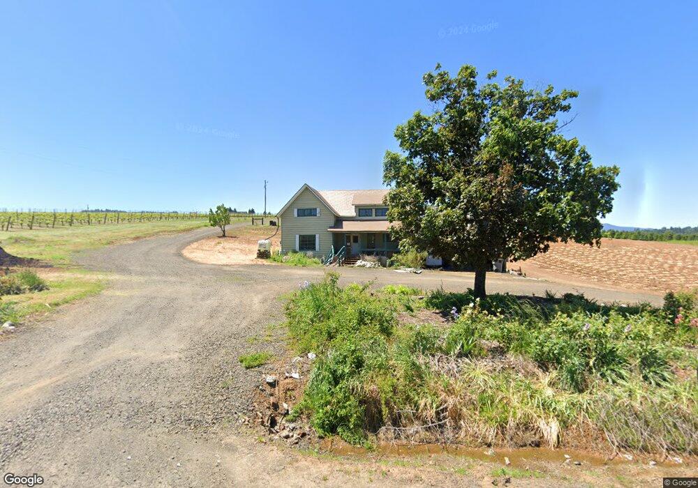
24380 Territorial Rd Monroe, OR 97456
Estimated Value: $824,000 - $893,000
7
Beds
3
Baths
4,200
Sq Ft
$205/Sq Ft
Est. Value
About This Home
This home is located at 24380 Territorial Rd, Monroe, OR 97456 and is currently estimated at $862,710, approximately $205 per square foot. 24380 Territorial Rd is a home located in Benton County with nearby schools including Monroe Grade School and Monroe High School.
Ownership History
Date
Name
Owned For
Owner Type
Purchase Details
Closed on
Jun 10, 2021
Sold by
Stroda Kirk and Stroda Jolynn
Bought by
Sisneros Contessa and Sisneros Beau
Current Estimated Value
Home Financials for this Owner
Home Financials are based on the most recent Mortgage that was taken out on this home.
Original Mortgage
$150,000
Outstanding Balance
$135,806
Interest Rate
2.9%
Mortgage Type
Purchase Money Mortgage
Estimated Equity
$726,904
Purchase Details
Closed on
Oct 29, 2020
Sold by
Stroda Kirk and Stroda Jolynn
Bought by
Stroda Kirk and Stroda Jolynn
Purchase Details
Closed on
Jun 5, 2020
Sold by
Rapp Mira J
Bought by
Stroda Kirk and Stroda Jolynn
Purchase Details
Closed on
Jul 29, 2003
Sold by
Rapp Mira J
Bought by
Rapp Wesley E and Rapp Mira J
Create a Home Valuation Report for This Property
The Home Valuation Report is an in-depth analysis detailing your home's value as well as a comparison with similar homes in the area
Home Values in the Area
Average Home Value in this Area
Purchase History
| Date | Buyer | Sale Price | Title Company |
|---|---|---|---|
| Sisneros Contessa | $150,000 | First American | |
| Stroda Kirk | -- | None Available | |
| Stroda Kirk | -- | None Available | |
| Stroda Kirk | $150,000 | Amerititle | |
| Rapp Wesley E | -- | -- |
Source: Public Records
Mortgage History
| Date | Status | Borrower | Loan Amount |
|---|---|---|---|
| Open | Sisneros Contessa | $150,000 |
Source: Public Records
Tax History Compared to Growth
Tax History
| Year | Tax Paid | Tax Assessment Tax Assessment Total Assessment is a certain percentage of the fair market value that is determined by local assessors to be the total taxable value of land and additions on the property. | Land | Improvement |
|---|---|---|---|---|
| 2024 | $5,281 | $412,445 | -- | -- |
| 2023 | $5,145 | $400,432 | $0 | $0 |
| 2022 | $1,977 | $158,278 | $0 | $0 |
| 2021 | $1,472 | $121,897 | $0 | $0 |
| 2020 | $1,536 | $117,320 | $0 | $0 |
| 2019 | $1,396 | $113,903 | $0 | $0 |
| 2018 | $1,515 | $110,585 | $0 | $0 |
| 2017 | $1,192 | $107,364 | $0 | $0 |
| 2016 | $1,148 | $104,237 | $0 | $0 |
| 2015 | $1,113 | $101,201 | $0 | $0 |
| 2014 | $1,084 | $98,253 | $0 | $0 |
| 2012 | -- | $92,613 | $0 | $0 |
Source: Public Records
Map
Nearby Homes
- 580 S 10th St
- 875 Shelby Way
- 26436 Coon Rd
- 3 Orchard St
- 628 Commercial St
- 648 Commercial St
- 629 Commercial St
- 991 Main St
- 26377 Cherry Creek Rd
- 0 8th Ave
- 194 Oak St
- 0 Oak St
- 710 N 8th St
- 24880 Orchard Tract Rd
- 23900 Territorial Hwy
- 23900 Territorial Hwy Unit 2
- 23900 Territorial Hwy Unit 1
- 23900 Territorial Hwy Unit 3
- 25676 Coon Rd
- 96100 Territorial Hwy
- 24472 Territorial Hwy
- 24320 Territorial Hwy
- 24474 Territorial Hwy
- 24459 Territorial Hwy
- 24494 Territorial Hwy
- 24459 Territorial Rd
- 24509 Territorial Hwy
- 24509 Territorial Hwy
- 24463 Territorial Hwy
- 24512 Territorial Hwy
- 24514 Territorial Hwy
- 24513 Territorial Hwy
- 24513 Territorial Rd
- 24530 Territorial Hwy
- 24530 Territorial Rd
- 24525 Territorial Rd
- 24540 Territorial Hwy
- 24540 Territorial Hwy
- 24399 Territorial Hwy
- 26774 Monroe St