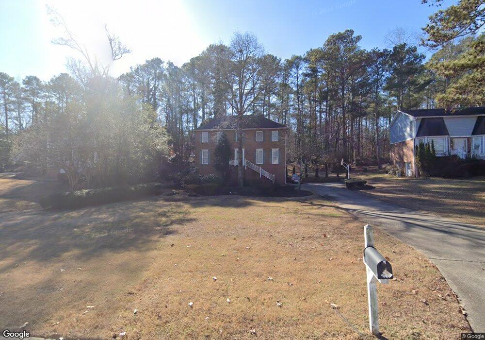
2439 Broad Creek Dr Unit 2 Stone Mountain, GA 30087
Smoke Rise NeighborhoodEstimated Value: $347,000 - $387,000
4
Beds
3
Baths
2,288
Sq Ft
$160/Sq Ft
Est. Value
About This Home
This home is located at 2439 Broad Creek Dr Unit 2, Stone Mountain, GA 30087 and is currently estimated at $366,165, approximately $160 per square foot. 2439 Broad Creek Dr Unit 2 is a home located in Gwinnett County with nearby schools including Annistown Elementary School, Shiloh Middle School, and Shiloh High School.
Ownership History
Date
Name
Owned For
Owner Type
Purchase Details
Closed on
Feb 13, 2001
Sold by
Keith Josephine S
Bought by
Owens Derrick L
Current Estimated Value
Home Financials for this Owner
Home Financials are based on the most recent Mortgage that was taken out on this home.
Original Mortgage
$170,317
Outstanding Balance
$59,187
Interest Rate
6.91%
Mortgage Type
FHA
Estimated Equity
$306,978
Create a Home Valuation Report for This Property
The Home Valuation Report is an in-depth analysis detailing your home's value as well as a comparison with similar homes in the area
Home Values in the Area
Average Home Value in this Area
Purchase History
| Date | Buyer | Sale Price | Title Company |
|---|---|---|---|
| Owens Derrick L | $173,000 | -- |
Source: Public Records
Mortgage History
| Date | Status | Borrower | Loan Amount |
|---|---|---|---|
| Open | Owens Derrick L | $170,317 |
Source: Public Records
Tax History Compared to Growth
Tax History
| Year | Tax Paid | Tax Assessment Tax Assessment Total Assessment is a certain percentage of the fair market value that is determined by local assessors to be the total taxable value of land and additions on the property. | Land | Improvement |
|---|---|---|---|---|
| 2025 | $5,153 | $135,240 | $30,000 | $105,240 |
| 2024 | $4,993 | $129,240 | $30,000 | $99,240 |
| 2023 | $4,993 | $128,320 | $22,800 | $105,520 |
| 2022 | $4,563 | $118,120 | $22,800 | $95,320 |
| 2021 | $3,483 | $86,480 | $18,400 | $68,080 |
| 2020 | $3,307 | $81,120 | $14,400 | $66,720 |
| 2019 | $2,984 | $75,320 | $14,400 | $60,920 |
| 2018 | $2,984 | $75,320 | $14,400 | $60,920 |
| 2016 | $2,302 | $55,360 | $12,600 | $42,760 |
| 2015 | $2,325 | $55,360 | $12,600 | $42,760 |
| 2014 | $2,337 | $55,360 | $12,600 | $42,760 |
Source: Public Records
Map
Nearby Homes
- 2406 Creole Creek Cir SW
- 5315 Pounds Dr S Unit 5
- 5334 Pounds Dr N
- 2423 W Park Place Blvd
- 837 Malvern Blvd
- 2421 Rockbridge Rd SW
- 698 Deer Lake Trail
- 2158 Vivid Ct
- 724 Eastwood Rise
- 2251 Colonial Oak Way
- 2220 Davis Oaks Ct
- 5015 Shadow Path Ln SW
- 2901 Carrousel Ct
- 2390 Stone Dr SW
- 6885 Almont Cove
- 4922 Signal Ct SW
- 126 Castle Club Dr
- 480 Pineburr Ln
- 580 Overlook Dr
- 5272 Cumberland Way
- 2449 Broad Creek Dr
- 2429 Broad Creek Dr
- 2459 Broad Creek Dr
- 2398 Broad Creek Dr
- 2419 Broad Creek Dr
- 2448 Broad Creek Drive South W
- 2448 Broadcreek Dr SW
- 2448 Broad Creek Dr
- 2469 Broad Creek Dr
- 2448 Bermuda Rd
- 5471 Dry Fork Creek Terrace
- 2470 Bermuda Rd
- 2409 Broad Creek Dr
- 2440 Bermuda Rd
- 2388 Broad Creek Dr Unit 2
- 2399 Broad Creek Dr
- 2479 Broad Creek Dr
- 2389 Broad Creek Dr
- 5461 Dry Fork Creek Terrace
- 2378 Broad Creek Dr