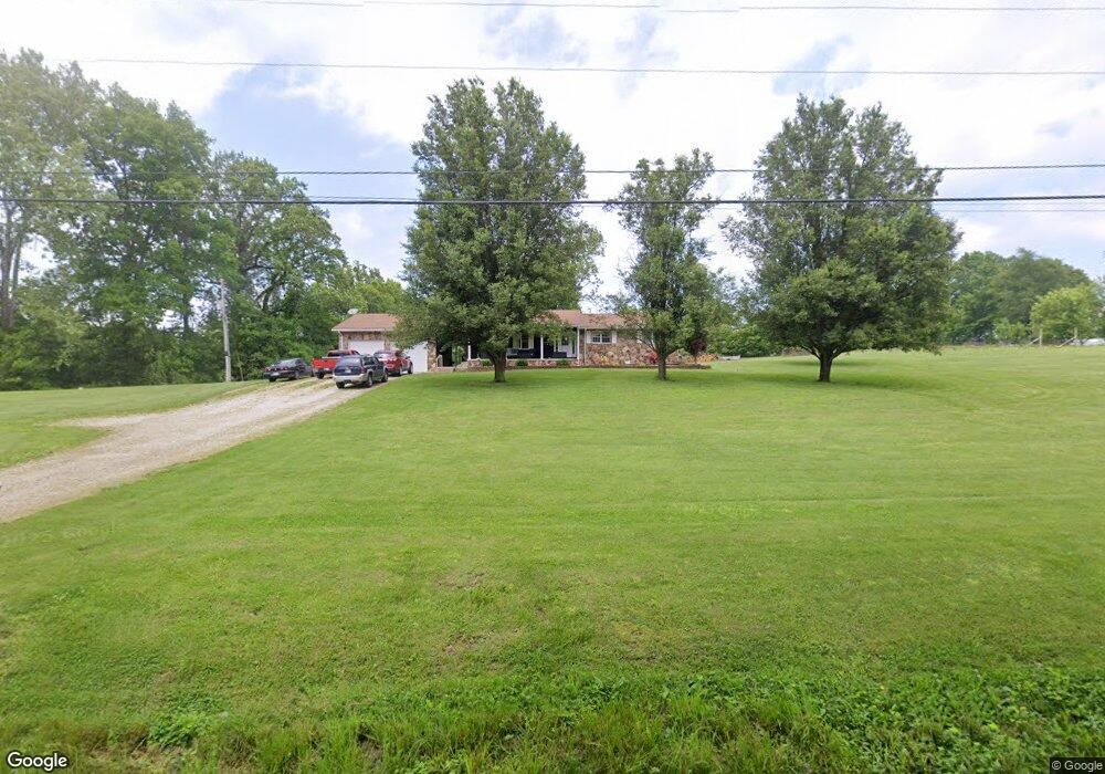
2439 Isaacs Rd Loogootee, IN 47553
Estimated Value: $96,801 - $195,000
2
Beds
1
Bath
960
Sq Ft
$135/Sq Ft
Est. Value
About This Home
This home is located at 2439 Isaacs Rd, Loogootee, IN 47553 and is currently estimated at $129,950, approximately $135 per square foot. 2439 Isaacs Rd is a home located in Martin County with nearby schools including Loogootee Elementary School, Loogootee Middle School, and Loogootee Junior/Senior High School.
Ownership History
Date
Name
Owned For
Owner Type
Purchase Details
Closed on
Sep 16, 2025
Sold by
Allbright Samuel L and Allbright Tammy F
Bought by
Porter Gabriel R
Current Estimated Value
Home Financials for this Owner
Home Financials are based on the most recent Mortgage that was taken out on this home.
Original Mortgage
$110,101
Outstanding Balance
$110,101
Interest Rate
6.58%
Mortgage Type
New Conventional
Estimated Equity
$19,849
Create a Home Valuation Report for This Property
The Home Valuation Report is an in-depth analysis detailing your home's value as well as a comparison with similar homes in the area
Home Values in the Area
Average Home Value in this Area
Purchase History
| Date | Buyer | Sale Price | Title Company |
|---|---|---|---|
| Porter Gabriel R | -- | First American Title |
Source: Public Records
Mortgage History
| Date | Status | Borrower | Loan Amount |
|---|---|---|---|
| Open | Porter Gabriel R | $110,101 |
Source: Public Records
Tax History Compared to Growth
Tax History
| Year | Tax Paid | Tax Assessment Tax Assessment Total Assessment is a certain percentage of the fair market value that is determined by local assessors to be the total taxable value of land and additions on the property. | Land | Improvement |
|---|---|---|---|---|
| 2024 | $184 | $54,200 | $13,800 | $40,400 |
| 2023 | $184 | $51,400 | $13,200 | $38,200 |
| 2022 | $140 | $48,700 | $12,600 | $36,100 |
| 2021 | $159 | $42,800 | $11,800 | $31,000 |
| 2020 | $159 | $44,400 | $11,300 | $33,100 |
| 2019 | $149 | $42,500 | $10,800 | $31,700 |
| 2018 | $161 | $41,200 | $10,400 | $30,800 |
| 2017 | $138 | $38,900 | $10,200 | $28,700 |
| 2016 | $129 | $36,600 | $10,000 | $26,600 |
| 2014 | $118 | $36,700 | $9,500 | $27,200 |
| 2013 | -- | $35,800 | $9,500 | $26,300 |
Source: Public Records
Map
Nearby Homes
- 1559 Scenic Hill Rd
- 102 Eastgate Ave
- 508 E Broadway St
- 1624 Reinhart Rd
- 96.6 AC Reinhart Rd
- 501 E Main St
- 106 Queen St
- 98+/- Acres U S 231
- 13551 Mount Calvary Rd
- 214 Cedar St
- 108 SW 2nd St
- 419 SW 3rd St
- 513 Park St
- Lot 24 Country Court S D V
- Lot 23 Country Court S D V
- Lot 28 Country Court S D V
- Lot 34 Country Court S D V
- Lot 15 Country Court S D V
- Lot 27 Country Court S D V
- Lot 16 Country Court S D V
- 2439 Isaacs Rd
- 12709 Hart Rd
- 12584 Hart Rd
- 12751 Hart Rd
- 2472 Us Highway 50
- 12810 Hart Rd
- 12897 Dover Hill Rd
- 12862 Dover Hill Rd
- 12925 Dover Hill Rd
- 2086 Us Highway 50
- 12949 Dover Hill Rd
- 1978 Us Highway 50
- 1978 Us Highway 50
- 1978 Us Highway 50
- 12954 Dover Hill Rd
- 12965 Dover Hill Rd
- 2083 Us Highway 50
- 2083 Us Highway 50
- 13051 Dover Hill Rd
- 13533 Dover Hill Rd