24397 State Route 511 Wellington, OH 44090
Estimated Value: $354,000 - $478,000
4
Beds
3
Baths
2,352
Sq Ft
$187/Sq Ft
Est. Value
About This Home
This home is located at 24397 State Route 511, Wellington, OH 44090 and is currently estimated at $439,404, approximately $186 per square foot. 24397 State Route 511 is a home located in Lorain County with nearby schools including Westwood Elementary School, McCormick Middle School, and Wellington High School.
Ownership History
Date
Name
Owned For
Owner Type
Purchase Details
Closed on
Aug 3, 2023
Sold by
Gardner George W and Gardner Debora A
Bought by
Gardner George W and Gardner Debora A
Current Estimated Value
Purchase Details
Closed on
Aug 2, 2018
Sold by
Lorain County Sheriff
Bought by
Gardner Debora A and Gardner George W
Purchase Details
Closed on
Dec 15, 2003
Sold by
Baker Ronald J and Baker Lois A
Bought by
Fleming Raymond and Fleming Jessica
Home Financials for this Owner
Home Financials are based on the most recent Mortgage that was taken out on this home.
Original Mortgage
$29,112
Interest Rate
6.01%
Mortgage Type
Purchase Money Mortgage
Purchase Details
Closed on
Jul 10, 2003
Sold by
Baker Ronald J and Baker Lois A
Bought by
Baker Ronald J and Baker Lois A
Create a Home Valuation Report for This Property
The Home Valuation Report is an in-depth analysis detailing your home's value as well as a comparison with similar homes in the area
Home Values in the Area
Average Home Value in this Area
Purchase History
| Date | Buyer | Sale Price | Title Company |
|---|---|---|---|
| Gardner George W | -- | None Listed On Document | |
| Gardner Debora A | $177,500 | None Available | |
| Fleming Raymond | $34,300 | -- | |
| Baker Ronald J | -- | -- |
Source: Public Records
Mortgage History
| Date | Status | Borrower | Loan Amount |
|---|---|---|---|
| Previous Owner | Fleming Raymond | $29,112 |
Source: Public Records
Tax History Compared to Growth
Tax History
| Year | Tax Paid | Tax Assessment Tax Assessment Total Assessment is a certain percentage of the fair market value that is determined by local assessors to be the total taxable value of land and additions on the property. | Land | Improvement |
|---|---|---|---|---|
| 2024 | $4,998 | $129,490 | $20,423 | $109,067 |
| 2023 | $4,733 | $110,107 | $19,450 | $90,657 |
| 2022 | $5,220 | $110,107 | $19,450 | $90,657 |
| 2021 | $5,223 | $110,107 | $19,450 | $90,657 |
| 2020 | $4,709 | $92,380 | $16,320 | $76,060 |
| 2019 | $4,633 | $92,380 | $16,320 | $76,060 |
| 2018 | $4,230 | $92,380 | $16,320 | $76,060 |
| 2017 | $3,924 | $74,200 | $10,490 | $63,710 |
| 2016 | $3,922 | $74,200 | $10,490 | $63,710 |
| 2015 | $3,914 | $74,200 | $10,490 | $63,710 |
| 2014 | $4,072 | $76,030 | $10,750 | $65,280 |
| 2013 | $4,068 | $76,030 | $10,750 | $65,280 |
Source: Public Records
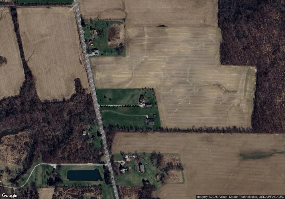
Map
Nearby Homes
- 202 S State St
- 22697 Gore Orphanage Rd
- 0 Butler Rd N
- 816 Butler Rd S
- 20303 Mosher Rd
- 20765 Quarry Rd
- 20011 Gore Orphanage Rd
- 25600 Mcmillan Rd
- 21251 Pitts Rd
- 238 Reserve Cir
- 208 Jones Rd
- 52814 New London Eastern Rd
- 220 Woodland St
- 428 Prospect St
- 25670 State Route 58
- 111 S Mill St
- 508 Courtland St
- 26479 Ohio 58
- 44544 Stewart Rd
- 292 Grand Ave
- 24403 State Route 511
- 24503 State Route 511
- 24583 State Route 511
- 24391 State Route 511
- 24381 State Route 511
- 24616 State Route 511
- 24282 State Route 511
- 24245 State Route 511
- 24260 State Route 511
- 24201 State Route 511
- 24190 State Route 511
- 24177 State Route 511
- 24165 State Route 511
- 24873 State Route 511
- 24132 State Route 511
- 316 N State St
- 314 N State St
- 24043 State Route 511
- 133 Griggs Rd
- 310 N State St