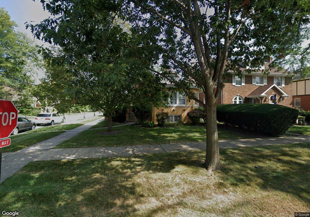
244 Albion Ave Park Ridge, IL 60068
Estimated Value: $477,000 - $645,000
2
Beds
2
Baths
1,250
Sq Ft
$457/Sq Ft
Est. Value
About This Home
This home is located at 244 Albion Ave, Park Ridge, IL 60068 and is currently estimated at $571,522, approximately $457 per square foot. 244 Albion Ave is a home located in Cook County with nearby schools including Theodore Roosevelt Elementary School, Lincoln Middle School, and Maine South High School.
Ownership History
Date
Name
Owned For
Owner Type
Purchase Details
Closed on
Oct 13, 2003
Sold by
Azzaro Richard Mario and Azzaro Mary Patricia
Bought by
Meer Gerald R and Meer Nancy L
Current Estimated Value
Home Financials for this Owner
Home Financials are based on the most recent Mortgage that was taken out on this home.
Original Mortgage
$155,000
Interest Rate
6.1%
Mortgage Type
Unknown
Purchase Details
Closed on
Apr 29, 1997
Sold by
First Bank National Assn
Bought by
Carter Earlyne H
Create a Home Valuation Report for This Property
The Home Valuation Report is an in-depth analysis detailing your home's value as well as a comparison with similar homes in the area
Home Values in the Area
Average Home Value in this Area
Purchase History
| Date | Buyer | Sale Price | Title Company |
|---|---|---|---|
| Meer Gerald R | $389,000 | Pntn | |
| Carter Earlyne H | -- | -- |
Source: Public Records
Mortgage History
| Date | Status | Borrower | Loan Amount |
|---|---|---|---|
| Previous Owner | Meer Gerald R | $155,000 |
Source: Public Records
Tax History Compared to Growth
Tax History
| Year | Tax Paid | Tax Assessment Tax Assessment Total Assessment is a certain percentage of the fair market value that is determined by local assessors to be the total taxable value of land and additions on the property. | Land | Improvement |
|---|---|---|---|---|
| 2024 | $11,042 | $44,001 | $9,835 | $34,166 |
| 2023 | $10,553 | $44,001 | $9,835 | $34,166 |
| 2022 | $10,553 | $44,001 | $9,835 | $34,166 |
| 2021 | $8,010 | $29,666 | $6,074 | $23,592 |
| 2020 | $7,758 | $29,666 | $6,074 | $23,592 |
| 2019 | $7,603 | $32,600 | $6,074 | $26,526 |
| 2018 | $8,839 | $34,323 | $5,206 | $29,117 |
| 2017 | $8,819 | $34,323 | $5,206 | $29,117 |
| 2016 | $8,732 | $34,323 | $5,206 | $29,117 |
| 2015 | $8,040 | $28,691 | $4,338 | $24,353 |
| 2014 | $9,042 | $32,475 | $4,338 | $28,137 |
| 2013 | $8,547 | $32,475 | $4,338 | $28,137 |
Source: Public Records
Map
Nearby Homes
- 718 S Washington Ave
- 1021 Cleveland Ave
- 623 S Prospect Ave
- 1220 Canfield Rd
- 6815 N Olmsted Ave Unit 203
- 400 S Northwest Hwy Unit 312B
- 6852 N Northwest Hwy Unit 2B
- 6858 N Northwest Hwy Unit 2E
- 6841 N Northwest Hwy Unit 3C
- 1220 Courtland Ave
- 460 S Northwest Hwy Unit 307A
- 819 Albion Ave
- 249 S Vine Ave Unit B
- 820 W Talcott Rd
- 6681 N Northwest Hwy
- 6919 N Overhill Ave
- 301 S Prospect Ave
- 1116 S Cumberland Ave
- 7725 W Myrtle Ave
- 316 S Fairview Ave
- 242 Albion Ave
- 236 Albion Ave
- 245 Imperial St
- 234 Albion Ave
- 243 Imperial St
- 901 S Washington Ave
- 828 S Washington Ave
- 830 S Washington Ave
- 822 S Washington Ave
- 228 Albion Ave
- 818 S Washington Ave
- 235 Imperial St
- 907 S Washington Ave
- 814 S Washington Ave
- 900 S Washington Ave
- 900 Peale Ave
- 900 Peale Ave
- 224 Albion Ave
- 231 Imperial St
- 904 Peale Ave