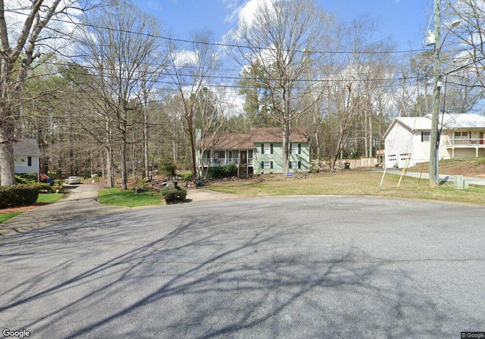
244 Cedar Mill Ln Unit 2 Woodstock, GA 30189
Sutallee NeighborhoodEstimated Value: $378,000 - $407,408
5
Beds
2
Baths
2,160
Sq Ft
$182/Sq Ft
Est. Value
About This Home
This home is located at 244 Cedar Mill Ln Unit 2, Woodstock, GA 30189 and is currently estimated at $392,704, approximately $181 per square foot. 244 Cedar Mill Ln Unit 2 is a home located in Cherokee County with nearby schools including Boston Elementary School, E. T. Booth Middle School, and Etowah High School.
Ownership History
Date
Name
Owned For
Owner Type
Purchase Details
Closed on
Jan 24, 2002
Sold by
Lehman Michael A
Bought by
Lehman Michael A and Lehman Carla
Current Estimated Value
Home Financials for this Owner
Home Financials are based on the most recent Mortgage that was taken out on this home.
Original Mortgage
$106,600
Outstanding Balance
$44,389
Interest Rate
7.16%
Mortgage Type
New Conventional
Estimated Equity
$348,315
Purchase Details
Closed on
May 29, 1997
Sold by
Gleason Cheryl C
Bought by
Lehman Michael A
Home Financials for this Owner
Home Financials are based on the most recent Mortgage that was taken out on this home.
Original Mortgage
$102,600
Interest Rate
8.18%
Mortgage Type
New Conventional
Purchase Details
Closed on
Feb 22, 1996
Sold by
Aber Lawrence Donna
Bought by
Gleason Cheryl
Create a Home Valuation Report for This Property
The Home Valuation Report is an in-depth analysis detailing your home's value as well as a comparison with similar homes in the area
Home Values in the Area
Average Home Value in this Area
Purchase History
| Date | Buyer | Sale Price | Title Company |
|---|---|---|---|
| Lehman Michael A | -- | -- | |
| Lehman Michael A | $108,000 | -- | |
| Gleason Cheryl | $108,900 | -- |
Source: Public Records
Mortgage History
| Date | Status | Borrower | Loan Amount |
|---|---|---|---|
| Open | Lehman Michael A | $106,600 | |
| Previous Owner | Lehman Michael A | $102,600 | |
| Closed | Gleason Cheryl | $0 |
Source: Public Records
Tax History Compared to Growth
Tax History
| Year | Tax Paid | Tax Assessment Tax Assessment Total Assessment is a certain percentage of the fair market value that is determined by local assessors to be the total taxable value of land and additions on the property. | Land | Improvement |
|---|---|---|---|---|
| 2024 | $3,481 | $154,308 | $28,000 | $126,308 |
| 2023 | $3,000 | $152,128 | $27,200 | $124,928 |
| 2022 | $3,016 | $130,496 | $23,200 | $107,296 |
| 2021 | $2,653 | $103,856 | $19,440 | $84,416 |
| 2020 | $2,404 | $93,016 | $17,200 | $75,816 |
| 2019 | $2,138 | $81,480 | $15,400 | $66,080 |
| 2018 | $2,065 | $77,960 | $14,000 | $63,960 |
| 2017 | $1,950 | $181,000 | $13,200 | $59,200 |
| 2016 | $1,846 | $168,100 | $13,200 | $54,040 |
| 2015 | $1,446 | $128,700 | $13,200 | $38,280 |
| 2014 | $1,309 | $116,800 | $13,280 | $33,440 |
Source: Public Records
Map
Nearby Homes
- 313 Maltibe Dr
- 306 N Briar Ridge
- 0 Black Oak Trail Unit 10267626
- 0 Black Oak Trail Unit 7303191
- 146 Sunset Ln
- 477 Victoria Rd
- 7119 Big Woods Dr
- 507 Huntgate Rd
- 7307 Carriage Creek Rd
- 104 Rose Cottage Ln Unit 65
- 617 Driftwood Dr
- 308 Mainsail Ln
- 1001 Deer Hollow Dr
- 314 Bethel Dr
- 204 Captains Quarters
- 124 Dockside Downs Dr
- 1028 Deer Hollow Dr
- 2006 Hawthorne Way
- 112 Countryside Ct
- 246 Cedar Mill Ln
- 242 Cedar Mill Ln
- 248 Cedar Mill Ln
- 240 Cedar Mill Ln Unit 1
- 1406 Reed Ln
- 1404 Reed Ln
- 231 Cedar Mill Ln
- 250 Cedar Mill Ln
- 238 Cedar Mill Ln
- 1408 Reed Ln
- 252 Cedar Mill Ln Unit 2
- 229 Cedar Mill Ln
- 236 Cedar Mill Ln
- 227 Cedar Mill Ln
- 235 Cedar Mill Ln
- 254 Cedar Mill Ln
- 1410 Reed Ln
- 1402 Reed Ln
- 237 Cedar Mill Ln Unit 2
- 419 Walnut Dr