Estimated Value: $418,000 - $494,000
3
Beds
2
Baths
2,854
Sq Ft
$159/Sq Ft
Est. Value
About This Home
This home is located at 244 Doe Run Dr, Cairo, GA 39828 and is currently estimated at $454,635, approximately $159 per square foot. 244 Doe Run Dr is a home located in Grady County with nearby schools including Cairo High School.
Ownership History
Date
Name
Owned For
Owner Type
Purchase Details
Closed on
May 18, 2010
Sold by
Porter Joseph R
Bought by
Porter Jami A
Current Estimated Value
Purchase Details
Closed on
Jan 21, 2004
Sold by
Piland Larry W
Bought by
Piland Larry W
Purchase Details
Closed on
Dec 16, 2003
Sold by
Piland Barbara W
Bought by
Piland Larry W
Purchase Details
Closed on
Jul 21, 1995
Sold by
Bell W O
Bought by
Piland Larry W
Create a Home Valuation Report for This Property
The Home Valuation Report is an in-depth analysis detailing your home's value as well as a comparison with similar homes in the area
Purchase History
| Date | Buyer | Sale Price | Title Company |
|---|---|---|---|
| Porter Jami A | -- | -- | |
| Porter Joseph R | $220,000 | -- | |
| Piland Larry W | -- | -- | |
| Piland Larry W | -- | -- | |
| Piland Larry W | $63,000 | -- |
Source: Public Records
Tax History
| Year | Tax Paid | Tax Assessment Tax Assessment Total Assessment is a certain percentage of the fair market value that is determined by local assessors to be the total taxable value of land and additions on the property. | Land | Improvement |
|---|---|---|---|---|
| 2024 | $3,585 | $148,688 | $41,010 | $107,678 |
| 2023 | $4,135 | $136,328 | $41,010 | $95,318 |
| 2022 | $4,135 | $136,328 | $41,010 | $95,318 |
| 2021 | $3,024 | $136,328 | $41,010 | $95,318 |
| 2020 | $3,030 | $136,328 | $41,010 | $95,318 |
| 2019 | $3,026 | $136,328 | $41,010 | $95,318 |
| 2018 | $2,837 | $136,328 | $41,010 | $95,318 |
| 2017 | $2,697 | $136,328 | $41,010 | $95,318 |
| 2016 | $2,280 | $120,890 | $41,010 | $79,880 |
| 2015 | $2,249 | $120,890 | $41,010 | $79,880 |
| 2014 | -- | $120,890 | $41,010 | $79,880 |
| 2013 | -- | $132,104 | $62,007 | $70,096 |
Source: Public Records
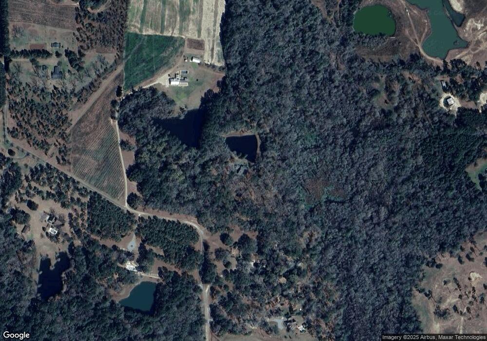
Map
Nearby Homes
- 3109 U S 84
- 3109 U S 84
- 309 Sunset Ln
- 129 Alison Dr
- 770 Pierce Chapel Rd
- 78.6 Ac Strickland Rd
- 161 Evergreen Ln
- 2690 U S 84
- 21 24th St NE
- 66 22nd St NE
- 0 20th St NE
- 00 20th St NE
- 592 20th St SE
- 408 Bay Tree Rd NE
- 00 State Route 188
- 0 State Route 188
- 3136 State Route 188
- 711 2nd Ave NE
- 414 Woodland Rd
- 2427 Pierce Chapel Rd
- 210 Doe Run Dr
- 202 Doe Run Dr
- 286 Doe Run Dr
- 277 Doe Run Dr
- 196 Doe Run Dr
- 277 Doe Run Dr
- 00 Doe Run Dr
- 321 Doe Run Dr
- 344 Doe Run Dr
- 3509 Us Highway 84 E
- 285 Stanfill Rd
- 359 Doe Run Dr
- 3467 Us Highway 84 E
- 3555 Us Highway 84 E
- 3563 E 84 Hwy
- 3563 Us Highway 84 E
- 3589 Us Highway 84 E
- 167 Stanfill Rd
- 3475 Us Highway 84 E
- 177 Stanfill Rd
Your Personal Tour Guide
Ask me questions while you tour the home.