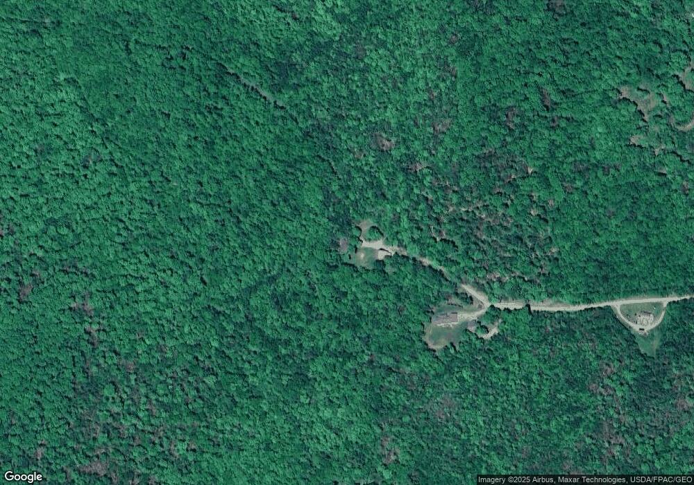
244 Frank West Rd Newburgh, ME 04444
Estimated Value: $183,000 - $304,000
3
Beds
1
Bath
233
Sq Ft
$970/Sq Ft
Est. Value
About This Home
This home is located at 244 Frank West Rd, Newburgh, ME 04444 and is currently estimated at $226,060, approximately $970 per square foot. 244 Frank West Rd is a home located in Penobscot County.
Ownership History
Date
Name
Owned For
Owner Type
Purchase Details
Closed on
Aug 22, 2022
Sold by
Swain Robert J Est
Bought by
Peppard Katherine B
Current Estimated Value
Purchase Details
Closed on
Feb 9, 2005
Sold by
Ellis Tami S
Bought by
Swain Robert J
Home Financials for this Owner
Home Financials are based on the most recent Mortgage that was taken out on this home.
Original Mortgage
$104,000
Interest Rate
5.83%
Mortgage Type
Purchase Money Mortgage
Create a Home Valuation Report for This Property
The Home Valuation Report is an in-depth analysis detailing your home's value as well as a comparison with similar homes in the area
Home Values in the Area
Average Home Value in this Area
Purchase History
| Date | Buyer | Sale Price | Title Company |
|---|---|---|---|
| Peppard Katherine B | -- | None Available | |
| Peppard Katherine B | -- | None Available | |
| Swain Robert J | -- | -- | |
| Swain Robert J | -- | -- | |
| Swain Robert J | -- | -- |
Source: Public Records
Mortgage History
| Date | Status | Borrower | Loan Amount |
|---|---|---|---|
| Previous Owner | Swain Robert J | $104,000 |
Source: Public Records
Tax History Compared to Growth
Tax History
| Year | Tax Paid | Tax Assessment Tax Assessment Total Assessment is a certain percentage of the fair market value that is determined by local assessors to be the total taxable value of land and additions on the property. | Land | Improvement |
|---|---|---|---|---|
| 2024 | $2,138 | $157,204 | $44,237 | $112,967 |
| 2023 | $1,857 | $143,968 | $40,106 | $103,862 |
| 2022 | $2,021 | $132,124 | $31,598 | $100,526 |
| 2021 | $2,054 | $129,156 | $29,167 | $99,989 |
| 2020 | $1,978 | $118,436 | $26,737 | $91,699 |
| 2019 | $1,915 | $108,834 | $24,306 | $84,528 |
| 2018 | $1,869 | $109,955 | $24,306 | $85,649 |
| 2017 | $1,726 | $109,955 | $24,306 | $85,649 |
| 2016 | $1,722 | $111,075 | $24,306 | $86,769 |
| 2015 | $2,468 | $112,196 | $24,306 | $87,890 |
| 2014 | $1,604 | $112,200 | $24,100 | $88,100 |
| 2013 | $1,543 | $112,200 | $24,100 | $88,100 |
Source: Public Records
Map
Nearby Homes
- 2636 Kennebec Rd
- 165 Red School House Rd
- 296 Western Ave
- 200 Littlefield Rd
- 2490 Western Ave
- 309 North Rd
- 1083 North Rd
- 4685 Kennebec Rd
- 2290 Western Ave
- 582 Western Ave
- Lot 3 Dalton's Way
- Lot 5 Dalton's Way
- Lot 7 Dalton's Way
- Lot 1 Dalton's Way
- Lot 1-7 Dalton's Way
- Lot 2 Dalton's Way
- 5-1 Garland & Nason Hill Roads
- Lot 6 Dalton's Way
- Lot #057 Kennebec Rd
- Lot 4 Dalton's Way
- 244 Frank West Rd
- 246 Frank West Rd
- 248 Frank West Rd
- 217 Mudgett Rd
- 192 Mudgett Rd
- 195 Mudgett Rd
- 186 Croxford Rd N
- 177 Mudgett Rd
- 265 Mudgett Rd
- 165 Mudgett Rd
- 279 Mudgett Rd
- 145 Mudgett Rd
- 0 Frank Rd W
- 281 Mudgett Rd
- 131 Mudgett Rd
- 126 Mudgett Rd
- 283 Mudgett Rd
- 129 Mudgett Rd
- 335 Old Mudgett Rd
- 114 Mudgett Rd
