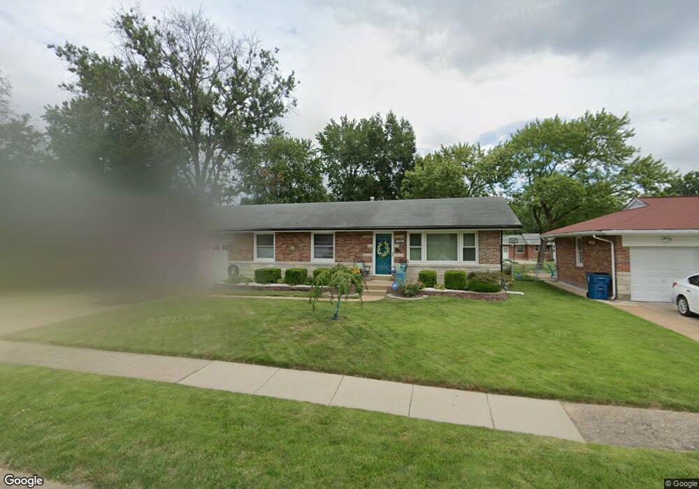
244 Kirk Dr Saint Louis, MO 63135
Estimated Value: $103,000 - $124,000
3
Beds
2
Baths
1,050
Sq Ft
$107/Sq Ft
Est. Value
About This Home
This home is located at 244 Kirk Dr, Saint Louis, MO 63135 and is currently estimated at $111,900, approximately $106 per square foot. 244 Kirk Dr is a home located in St. Louis County with nearby schools including Griffith Elementary School, Ferguson Middle School, and McCluer High School.
Ownership History
Date
Name
Owned For
Owner Type
Purchase Details
Closed on
Jan 27, 2006
Sold by
Wesley Marvin K
Bought by
Wesley Linda K
Current Estimated Value
Purchase Details
Closed on
Jun 28, 2002
Sold by
Wesley Marvin K and Wesley Linda K
Bought by
Wesley Marvin K and Wesley Linda K
Home Financials for this Owner
Home Financials are based on the most recent Mortgage that was taken out on this home.
Original Mortgage
$69,629
Interest Rate
6.73%
Mortgage Type
FHA
Create a Home Valuation Report for This Property
The Home Valuation Report is an in-depth analysis detailing your home's value as well as a comparison with similar homes in the area
Home Values in the Area
Average Home Value in this Area
Purchase History
| Date | Buyer | Sale Price | Title Company |
|---|---|---|---|
| Wesley Linda K | -- | None Available | |
| Wesley Marvin K | -- | -- |
Source: Public Records
Mortgage History
| Date | Status | Borrower | Loan Amount |
|---|---|---|---|
| Previous Owner | Wesley Marvin K | $69,629 |
Source: Public Records
Tax History
| Year | Tax Paid | Tax Assessment Tax Assessment Total Assessment is a certain percentage of the fair market value that is determined by local assessors to be the total taxable value of land and additions on the property. | Land | Improvement |
|---|---|---|---|---|
| 2025 | $1,483 | $23,560 | $2,280 | $21,280 |
| 2024 | $1,483 | $20,410 | $1,520 | $18,890 |
| 2023 | $1,474 | $20,410 | $1,520 | $18,890 |
| 2022 | $1,092 | $13,090 | $3,060 | $10,030 |
| 2021 | $1,057 | $13,090 | $3,060 | $10,030 |
| 2020 | $960 | $10,660 | $1,560 | $9,100 |
| 2019 | $942 | $10,660 | $1,560 | $9,100 |
| 2018 | $1,017 | $10,290 | $870 | $9,420 |
| 2016 | $955 | $9,680 | $1,600 | $8,080 |
Source: Public Records
Map
Nearby Homes
- 315 S Dellwood Dr
- 1120 Highmont Dr
- 1325 Kappel Dr
- 9619 Perch Dr
- 299 Dashwood Dr
- 109 Florwood Ct
- 945 Edgehill Dr
- 125 Forestwood Dr
- 1512 Kappel Dr
- 1006 Highmont Dr
- 9713 Dennis Dr
- 33 S Schlueter Ave
- 9746 Newton Dr
- 9219 Ellison Dr
- 38 Bayview Ct
- 25 S Dellwood Ave
- 9224 Ellison Dr
- 227 Meadowcrest Dr
- 1626 Nemnich Ave
- 9776 Dennis Dr