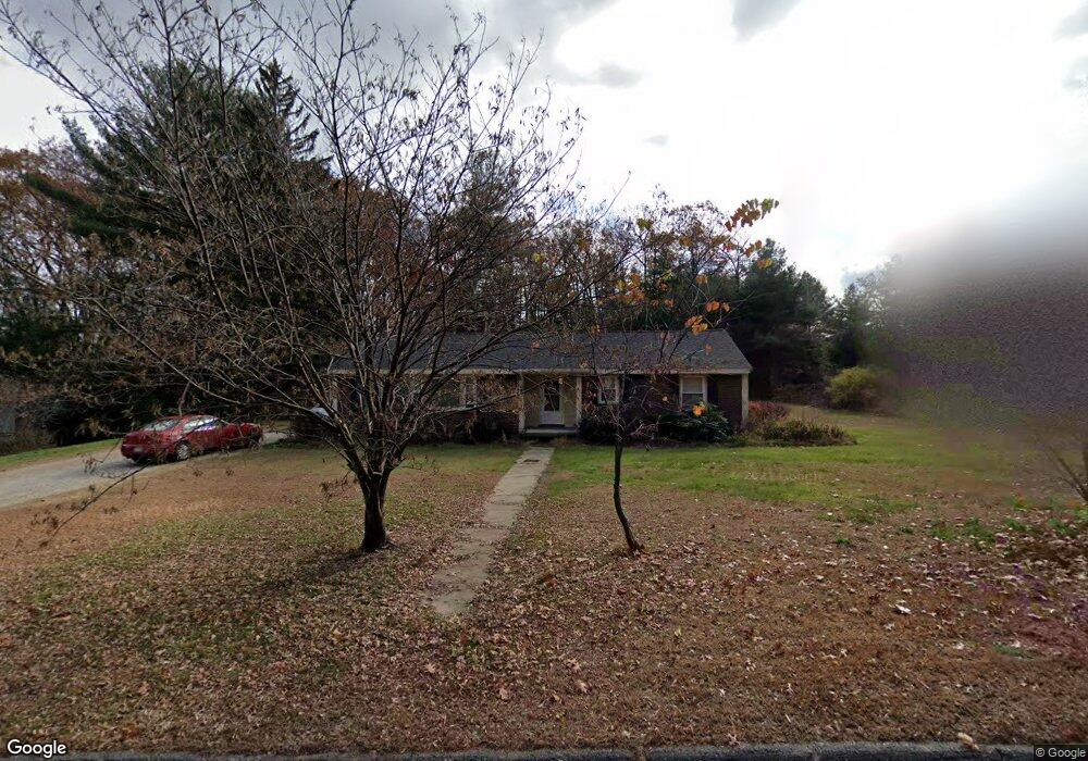
244 Main St Boylston, MA 01505
Estimated Value: $490,503 - $538,000
3
Beds
2
Baths
1,576
Sq Ft
$320/Sq Ft
Est. Value
About This Home
This home is located at 244 Main St, Boylston, MA 01505 and is currently estimated at $504,376, approximately $320 per square foot. 244 Main St is a home with nearby schools including Tahanto Regional High School and Central New England Christian Academy.
Ownership History
Date
Name
Owned For
Owner Type
Purchase Details
Closed on
Feb 24, 2005
Sold by
Brookside Xing T and Brookside Wagner
Bought by
Erba Christopher J and Erba Colleen Anne
Current Estimated Value
Home Financials for this Owner
Home Financials are based on the most recent Mortgage that was taken out on this home.
Original Mortgage
$226,960
Outstanding Balance
$114,437
Interest Rate
5.73%
Mortgage Type
Purchase Money Mortgage
Estimated Equity
$389,939
Create a Home Valuation Report for This Property
The Home Valuation Report is an in-depth analysis detailing your home's value as well as a comparison with similar homes in the area
Home Values in the Area
Average Home Value in this Area
Purchase History
| Date | Buyer | Sale Price | Title Company |
|---|---|---|---|
| Erba Christopher J | $283,700 | -- | |
| Erba Christopher J | $283,700 | -- | |
| Erba Christopher J | $283,700 | -- |
Source: Public Records
Mortgage History
| Date | Status | Borrower | Loan Amount |
|---|---|---|---|
| Open | Erba Christopher J | $226,960 | |
| Closed | Erba Christopher J | $226,960 |
Source: Public Records
Tax History
| Year | Tax Paid | Tax Assessment Tax Assessment Total Assessment is a certain percentage of the fair market value that is determined by local assessors to be the total taxable value of land and additions on the property. | Land | Improvement |
|---|---|---|---|---|
| 2025 | $5,605 | $405,300 | $158,000 | $247,300 |
| 2024 | $5,137 | $372,000 | $158,000 | $214,000 |
| 2023 | $5,177 | $359,500 | $149,300 | $210,200 |
| 2022 | $4,670 | $294,800 | $149,300 | $145,500 |
| 2021 | $5,622 | $283,100 | $149,300 | $133,800 |
| 2020 | $9,126 | $267,400 | $146,600 | $120,800 |
| 2019 | $4,206 | $262,200 | $146,600 | $115,600 |
| 2018 | $4,295 | $256,700 | $146,600 | $110,100 |
| 2017 | $4,138 | $256,700 | $146,600 | $110,100 |
| 2016 | $4,189 | $255,900 | $134,500 | $121,400 |
| 2015 | $4,455 | $255,900 | $134,500 | $121,400 |
| 2014 | $4,135 | $237,800 | $122,200 | $115,600 |
Source: Public Records
Map
Nearby Homes
- 5 Barnard Hill Rd
- 291 Sewall St Unit 291
- 289 Sewall St Unit 289
- 281 Sewall St Unit 281
- 279 Sewall St Unit 279
- 4 Poe Ave Unit 1
- 2 Poe Ave Unit 1
- 28 Sewall St
- 5 Ridge Rd
- 230A Gulf St
- 7 Conifer Cir Unit 7
- 156 Hillside Village Dr
- 71 Hillside Village Dr
- 69 Santoro Rd
- 13 Fatima Ln
- 2 Clover Glen Cir
- 55 Apthorp St
- 12 Beale St
- 10 Beale St
- 12 Erie Ave
- 240 Main St
- 248 Main St
- 236 Main St
- 230 Main St
- 264 Main St
- 5 Brookside Ave
- 9 Brookside Ave
- 266 Main St
- 266 Main St Unit 2
- 266 Main St Unit 1
- 19 Brookside Ave
- 6 Brookside Ave
- 274 Main St
- 21 Brookside Ave
- 111 Nicholas Ave
- 18 Brookside Ave
- 131 Nicholas Ave
- 278 Main St
- 22 Brookside Ave
- 22 Brookside Ave Unit A
Your Personal Tour Guide
Ask me questions while you tour the home.