244 Route 164 Unit 1 Preston, CT 06365
Estimated Value: $290,166 - $453,000
1
Bed
1
Bath
560
Sq Ft
$676/Sq Ft
Est. Value
About This Home
This home is located at 244 Route 164 Unit 1, Preston, CT 06365 and is currently estimated at $378,792, approximately $676 per square foot. 244 Route 164 Unit 1 is a home located in New London County.
Ownership History
Date
Name
Owned For
Owner Type
Purchase Details
Closed on
Nov 1, 2016
Sold by
Dodge Michael S and Dodge Karen A
Bought by
Galipeau Richard P and Galipeau Karen L
Current Estimated Value
Home Financials for this Owner
Home Financials are based on the most recent Mortgage that was taken out on this home.
Original Mortgage
$100,000
Outstanding Balance
$80,485
Interest Rate
3.5%
Mortgage Type
Purchase Money Mortgage
Estimated Equity
$298,307
Purchase Details
Closed on
Aug 20, 1992
Sold by
Amos Lake Assoc
Bought by
Dodge Michael S and Dodge Karen
Create a Home Valuation Report for This Property
The Home Valuation Report is an in-depth analysis detailing your home's value as well as a comparison with similar homes in the area
Home Values in the Area
Average Home Value in this Area
Purchase History
| Date | Buyer | Sale Price | Title Company |
|---|---|---|---|
| Galipeau Richard P | $198,900 | -- | |
| Dodge Michael S | $22,000 | -- |
Source: Public Records
Mortgage History
| Date | Status | Borrower | Loan Amount |
|---|---|---|---|
| Open | Dodge Michael S | $100,000 | |
| Previous Owner | Dodge Michael S | $80,000 | |
| Previous Owner | Dodge Michael S | $114,000 | |
| Previous Owner | Dodge Michael S | $80,000 |
Source: Public Records
Tax History Compared to Growth
Tax History
| Year | Tax Paid | Tax Assessment Tax Assessment Total Assessment is a certain percentage of the fair market value that is determined by local assessors to be the total taxable value of land and additions on the property. | Land | Improvement |
|---|---|---|---|---|
| 2024 | $4,841 | $207,130 | $0 | $207,130 |
| 2023 | $4,754 | $207,130 | $0 | $207,130 |
| 2022 | $3,760 | $134,850 | $0 | $134,850 |
| 2021 | $3,491 | $129,600 | $0 | $129,600 |
| 2020 | $3,486 | $129,600 | $0 | $129,600 |
| 2019 | $3,425 | $129,600 | $0 | $129,600 |
| 2018 | $3,373 | $129,600 | $0 | $129,600 |
| 2017 | $2,556 | $106,500 | $0 | $106,500 |
| 2016 | $2,529 | $106,500 | $0 | $106,500 |
| 2015 | $2,450 | $106,500 | $0 | $106,500 |
| 2014 | $2,464 | $106,500 | $0 | $106,500 |
Source: Public Records
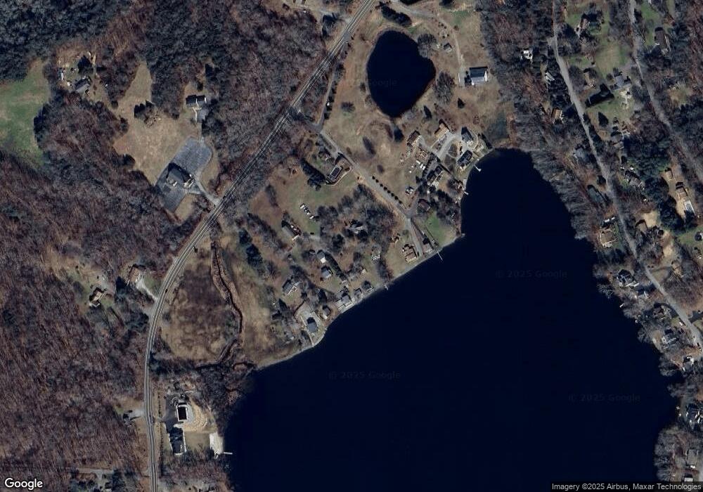
Map
Nearby Homes
- 57 NW Corner Rd
- 381 Route 164
- 55A Anna Farm Rd W
- 42 Pierce Rd
- 23A Tanglewood Dr
- 6 Lake of Isles Rd
- 39 Doolittle Rd
- 6 Stanton Ln
- 381 Route 2
- 5 Mattern Rd
- 0 Lake of Isles Rd Unit 170371521
- 4 Wilderness Acres
- 34 Button Rd
- 63 Route 165
- 59 Long Society Rd
- 146 Route 2
- 3 Webster Dr
- 79 Crary Rd
- 17 Daniel St
- 14 Abbey Rd
- 244 Route 164 Unit 5
- 244 Route 164 Unit 9
- 244 Route 164 Unit 3
- 244 Route 164 Unit 8
- 244 Route 164
- 244 Route 164 Unit 2
- 244 Route 164 Unit 4
- 244 Route 164 Unit 6
- 244 Route 164 Unit 7
- 2 N Shore Rd
- 4 N Shore Rd
- 250 Route 164
- 6 N Shore Rd
- 248 Route 164
- 8 N Shore Rd
- 242 Route 164
- 10 N Shore Rd
- 240 Route 164
- 13 N Shore Rd
- 12 N Shore Rd