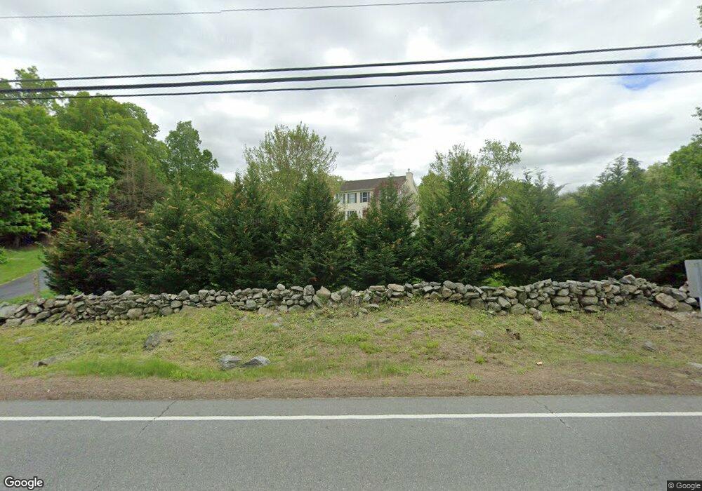
244 Route 165 Preston, CT 06365
Estimated Value: $504,000 - $721,000
3
Beds
3
Baths
2,160
Sq Ft
$264/Sq Ft
Est. Value
About This Home
This home is located at 244 Route 165, Preston, CT 06365 and is currently estimated at $570,875, approximately $264 per square foot. 244 Route 165 is a home located in New London County with nearby schools including St. Joseph School and St. Patrick Cathedral School.
Ownership History
Date
Name
Owned For
Owner Type
Purchase Details
Closed on
Jun 30, 2006
Sold by
Coughlin Raymond W and Coughlin Leigh Ann
Bought by
Charron Nathan S and Charron Jill M
Current Estimated Value
Purchase Details
Closed on
Mar 2, 2004
Sold by
Coughlin Brothers Inc
Bought by
Coughlin Raymond and Ann Leigh
Purchase Details
Closed on
Dec 19, 2002
Sold by
Yeomans Carol
Bought by
Courhlin Brothers Inc
Create a Home Valuation Report for This Property
The Home Valuation Report is an in-depth analysis detailing your home's value as well as a comparison with similar homes in the area
Home Values in the Area
Average Home Value in this Area
Purchase History
| Date | Buyer | Sale Price | Title Company |
|---|---|---|---|
| Charron Nathan S | $322,000 | -- | |
| Coughlin Raymond | $283,000 | -- | |
| Courhlin Brothers Inc | $42,000 | -- |
Source: Public Records
Mortgage History
| Date | Status | Borrower | Loan Amount |
|---|---|---|---|
| Open | Courhlin Brothers Inc | $60,000 | |
| Open | Courhlin Brothers Inc | $216,900 |
Source: Public Records
Tax History
| Year | Tax Paid | Tax Assessment Tax Assessment Total Assessment is a certain percentage of the fair market value that is determined by local assessors to be the total taxable value of land and additions on the property. | Land | Improvement |
|---|---|---|---|---|
| 2025 | $6,908 | $275,100 | $53,270 | $221,830 |
| 2024 | $6,429 | $275,100 | $53,270 | $221,830 |
| 2023 | $6,314 | $275,100 | $53,270 | $221,830 |
| 2022 | $5,099 | $182,900 | $34,900 | $148,000 |
| 2021 | $4,927 | $182,900 | $34,900 | $148,000 |
| 2020 | $4,584 | $170,400 | $34,900 | $135,500 |
| 2019 | $4,504 | $170,400 | $34,900 | $135,500 |
| 2018 | $4,436 | $170,400 | $34,900 | $135,500 |
| 2017 | $4,699 | $195,800 | $45,100 | $150,700 |
| 2016 | $4,453 | $187,500 | $45,100 | $142,400 |
| 2015 | $4,313 | $187,500 | $45,100 | $142,400 |
| 2014 | $4,339 | $187,500 | $45,100 | $142,400 |
Source: Public Records
Map
Nearby Homes
- 19 Cedarcrest Dr
- 59 Long Society Rd
- 57 NW Corner Rd
- 36 NW Corner Rd
- 375 Old Jewett City Rd
- 1 Long Society Rd
- 15 Tunnel Hill Ct Unit LOT 9
- 26 Tanglewood Dr
- 79 Roosevelt Ave
- 168 Corning Rd
- 55A Anna Farm Rd W
- 9 Mains Way
- 296 Hamilton Ave Unit 30
- 296 Hamilton Ave Unit 25
- 540 N Main St
- 406 Central Ave Unit 408
- 15 Paster Rd
- 303 Central Ave
- 256 Route 2
- 105 Stonington Rd
Your Personal Tour Guide
Ask me questions while you tour the home.