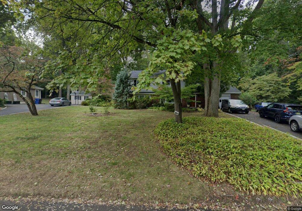
244 Rutledge Dr Red Bank, NJ 07701
New Monmouth NeighborhoodEstimated Value: $701,000 - $842,000
5
Beds
2
Baths
1,924
Sq Ft
$399/Sq Ft
Est. Value
About This Home
This home is located at 244 Rutledge Dr, Red Bank, NJ 07701 and is currently estimated at $767,416, approximately $398 per square foot. 244 Rutledge Dr is a home located in Monmouth County with nearby schools including Middletown Village Elementary School, Thompson Middle School, and Middletown High School North.
Ownership History
Date
Name
Owned For
Owner Type
Purchase Details
Closed on
Apr 28, 2022
Sold by
Harwood Barbara L
Bought by
Harwood Diane L
Current Estimated Value
Home Financials for this Owner
Home Financials are based on the most recent Mortgage that was taken out on this home.
Original Mortgage
$310,000
Outstanding Balance
$292,906
Interest Rate
4.67%
Mortgage Type
New Conventional
Estimated Equity
$474,510
Purchase Details
Closed on
Sep 11, 2020
Sold by
Harwodo Barbara L and Estate Of Frank K Harwood
Bought by
Harwood Barbara L and Harwood Diane L
Purchase Details
Closed on
Feb 18, 2010
Sold by
Harwood Frank K and Harwood Barbara L
Bought by
Harwood Frank K and Harwood Barbara L
Create a Home Valuation Report for This Property
The Home Valuation Report is an in-depth analysis detailing your home's value as well as a comparison with similar homes in the area
Home Values in the Area
Average Home Value in this Area
Purchase History
| Date | Buyer | Sale Price | Title Company |
|---|---|---|---|
| Harwood Diane L | -- | Westcor Land Title | |
| Harwood Diane L | -- | Westcor Land Title | |
| Harwood Barbara L | -- | None Available | |
| Harwood Barbara L | -- | None Listed On Document | |
| Harwood Frank K | -- | None Available |
Source: Public Records
Mortgage History
| Date | Status | Borrower | Loan Amount |
|---|---|---|---|
| Open | Harwood Diane L | $310,000 | |
| Closed | Harwood Diane L | $310,000 |
Source: Public Records
Tax History Compared to Growth
Tax History
| Year | Tax Paid | Tax Assessment Tax Assessment Total Assessment is a certain percentage of the fair market value that is determined by local assessors to be the total taxable value of land and additions on the property. | Land | Improvement |
|---|---|---|---|---|
| 2025 | $7,304 | $450,300 | $287,500 | $162,800 |
| 2024 | $7,461 | $444,000 | $287,500 | $156,500 |
| 2023 | $7,461 | $429,300 | $276,500 | $152,800 |
| 2022 | $8,322 | $428,000 | $276,500 | $151,500 |
| 2021 | $8,322 | $406,500 | $276,500 | $130,000 |
| 2020 | $8,627 | $403,500 | $276,500 | $127,000 |
| 2019 | $8,727 | $413,200 | $276,500 | $136,700 |
| 2018 | $8,854 | $408,600 | $276,500 | $132,100 |
| 2017 | $8,592 | $404,500 | $276,500 | $128,000 |
| 2016 | $8,443 | $401,300 | $276,500 | $124,800 |
| 2015 | $8,448 | $400,600 | $276,500 | $124,100 |
| 2014 | $8,423 | $389,900 | $276,500 | $113,400 |
Source: Public Records
Map
Nearby Homes
- 0 Hamiltonian Dr Unit 22514980
- 20 Devon Rd
- 164 Heights Terrace
- 93 Twin Brooks Ave
- 35 Woodland Dr
- 11 Mayflower Dr
- 74 Fish Hawk Dr
- 211 April Way Unit 211
- 304 April Way Unit 304
- 7 Meehan Ct
- 8 Allston St
- 6 Waller Dr
- 10 Waller Dr
- 16 Waller Dr
- 24 Princeton St
- 22 Waller Dr
- 93 Wallace Rd
- 58 Edmund Way
- 22 Edmund Way
- 8 Church St
- 240 Rutledge Dr
- 268 Hamiltonian Dr
- 248 Rutledge Dr
- 265 Hamiltonian Dr
- 232 Rutledge Dr
- 224 Rutledge Dr
- 239 Rutledge Dr
- 260 Hamiltonian Dr
- 256 Rutledge Dr
- 259 Hamiltonian Dr
- 125 Iler Dr
- 20 Azalea Ct
- 16 Orphan Boy Ct
- 117 Iler Dr
- 216 Rutledge Dr
- 261 Rutledge Dr
- 8 Azalea Ct
- 264 Rutledge Dr
- 37 Kamar Ct
- 133 Iler Dr