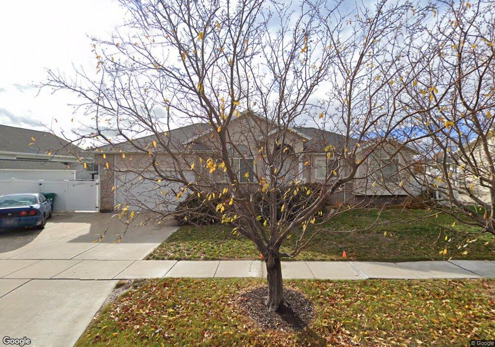
244 S 950 W Layton, UT 84041
Estimated Value: $561,000 - $636,000
5
Beds
3
Baths
3,021
Sq Ft
$198/Sq Ft
Est. Value
About This Home
This home is located at 244 S 950 W, Layton, UT 84041 and is currently estimated at $596,946, approximately $197 per square foot. 244 S 950 W is a home located in Davis County with nearby schools including Layton Elementary School, Fairfield Junior High School, and Layton High School.
Ownership History
Date
Name
Owned For
Owner Type
Purchase Details
Closed on
May 13, 2013
Sold by
Watts Michael and Watts Krista
Bought by
Brinkman Dayl and Brinkman Sherilyn L
Current Estimated Value
Purchase Details
Closed on
Jun 8, 2010
Sold by
Lord Daniel D and Lord Tanya D
Bought by
Watts Michael and Watts Krista
Home Financials for this Owner
Home Financials are based on the most recent Mortgage that was taken out on this home.
Original Mortgage
$242,095
Interest Rate
5.03%
Mortgage Type
VA
Purchase Details
Closed on
Feb 12, 1999
Sold by
Rkt Holding Company Inc
Bought by
Lord Daniel D and Lord Tanya D
Home Financials for this Owner
Home Financials are based on the most recent Mortgage that was taken out on this home.
Original Mortgage
$145,200
Interest Rate
6.77%
Create a Home Valuation Report for This Property
The Home Valuation Report is an in-depth analysis detailing your home's value as well as a comparison with similar homes in the area
Home Values in the Area
Average Home Value in this Area
Purchase History
| Date | Buyer | Sale Price | Title Company |
|---|---|---|---|
| Brinkman Dayl | -- | Us Title Company Of | |
| Watts Michael | -- | Backman Title Services | |
| Lord Daniel D | -- | First American Title Co |
Source: Public Records
Mortgage History
| Date | Status | Borrower | Loan Amount |
|---|---|---|---|
| Previous Owner | Watts Michael | $242,095 | |
| Previous Owner | Lord Daniel D | $145,200 |
Source: Public Records
Tax History Compared to Growth
Tax History
| Year | Tax Paid | Tax Assessment Tax Assessment Total Assessment is a certain percentage of the fair market value that is determined by local assessors to be the total taxable value of land and additions on the property. | Land | Improvement |
|---|---|---|---|---|
| 2025 | $86 | $298,650 | $121,315 | $177,335 |
| 2024 | -- | $289,300 | $131,957 | $157,343 |
| 2023 | $2,645 | $493,000 | $135,093 | $357,907 |
| 2022 | $2,902 | $293,700 | $81,439 | $212,261 |
| 2021 | $0 | $386,000 | $122,163 | $263,837 |
| 2020 | $2,327 | $337,000 | $103,578 | $233,422 |
| 2019 | $2,263 | $321,000 | $104,381 | $216,619 |
| 2018 | $2,191 | $312,000 | $91,759 | $220,241 |
| 2016 | $1,990 | $146,190 | $37,017 | $109,173 |
| 2015 | $1,982 | $138,215 | $37,017 | $101,198 |
| 2014 | $1,928 | $137,500 | $37,017 | $100,483 |
| 2013 | -- | $106,157 | $27,765 | $78,392 |
Source: Public Records
Map
Nearby Homes
- 296 S 950 W
- 1015 W 350 S
- 362 S 950 W
- 933 W Gentile St
- 750 W Gentile St
- 562 S 850 W
- 557 S Angel St
- 485 W 100 N
- 774 W Farming Way
- 267 S Melody St
- 355 W Gentile St
- 356 W 25 N
- Browning Plan at Amber Fields
- Rhapsody Plan at Amber Fields
- Accord Plan at Amber Fields
- Timpani Plan at Amber Fields
- Octave Plan at Amber Fields
- Tempo Plan at Amber Fields
- Harvard Plan at Amber Fields
- Fortissimo Plan at Amber Fields