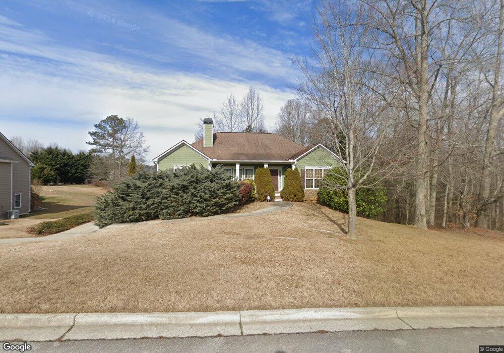
244 Safe Harbor Dr Dallas, GA 30157
Estimated Value: $327,052 - $381,000
3
Beds
2
Baths
1,794
Sq Ft
$197/Sq Ft
Est. Value
About This Home
This home is located at 244 Safe Harbor Dr, Dallas, GA 30157 and is currently estimated at $354,013, approximately $197 per square foot. 244 Safe Harbor Dr is a home located in Paulding County with nearby schools including Union Elementary School, Carl Scoggins Sr. Middle School, and South Paulding High School.
Ownership History
Date
Name
Owned For
Owner Type
Purchase Details
Closed on
Mar 1, 2011
Sold by
Hills At Safe Harbor Llc
Bought by
Res Ga Spring Lake Llc
Current Estimated Value
Purchase Details
Closed on
Nov 3, 2009
Sold by
Branch Bkng & Trust
Bought by
Seckler Robert L
Purchase Details
Closed on
Jan 6, 2009
Sold by
Hills At Safe Harbor Llc
Bought by
Branch Bkng & Trust Co
Purchase Details
Closed on
Apr 14, 2005
Sold by
West Metro Investments Inc
Bought by
Hills At Safe Harbor Llc
Create a Home Valuation Report for This Property
The Home Valuation Report is an in-depth analysis detailing your home's value as well as a comparison with similar homes in the area
Home Values in the Area
Average Home Value in this Area
Purchase History
| Date | Buyer | Sale Price | Title Company |
|---|---|---|---|
| Res Ga Spring Lake Llc | $15,500 | -- | |
| Seckler Robert L | $102,400 | -- | |
| Branch Bkng & Trust Co | $143,999 | -- | |
| Hills At Safe Harbor Llc | $1,026,000 | -- |
Source: Public Records
Tax History Compared to Growth
Tax History
| Year | Tax Paid | Tax Assessment Tax Assessment Total Assessment is a certain percentage of the fair market value that is determined by local assessors to be the total taxable value of land and additions on the property. | Land | Improvement |
|---|---|---|---|---|
| 2024 | $3,481 | $139,932 | $11,514 | $128,418 |
| 2023 | $3,805 | $145,960 | $12,000 | $133,960 |
| 2022 | $2,641 | $101,320 | $12,000 | $89,320 |
| 2021 | $2,743 | $94,400 | $10,000 | $84,400 |
| 2020 | $2,538 | $85,440 | $10,000 | $75,440 |
| 2019 | $2,225 | $73,840 | $10,000 | $63,840 |
| 2018 | $1,988 | $66,000 | $9,600 | $56,400 |
| 2017 | $1,922 | $62,920 | $9,600 | $53,320 |
| 2016 | $1,744 | $57,680 | $9,600 | $48,080 |
| 2015 | $1,607 | $52,200 | $9,600 | $42,600 |
| 2014 | $1,514 | $47,960 | $9,600 | $38,360 |
| 2013 | -- | $43,080 | $9,600 | $33,480 |
Source: Public Records
Map
Nearby Homes
- 363 Safe Harbor Dr
- 0 Billy Bullock Rd Unit 10622076
- 270 Harmony Woods Dr
- 281 Harmony Woods Dr
- 0 Buchanan Hwy Unit 10367629
- 00 Billy Bullock Rd
- 728 Harmony Rd
- 232 Cynthia Ct
- 65 Cynthia Ct
- 703 Mulberry Rock Rd
- 59 Mullberry Path
- 00002 Boulder View Pkwy
- 12 Shingle Oak Ct
- 177 Rustin Dr
- 334 Stonehenge Dr
- 370 Buchanan Cir Unit TRACT 1
- 370 Buchanan Circle Tract 1
- 15 Quarry Ln
- 14 Clint Ct
- 290 Safe Harbor Dr
- 241 Safe Harbor Dr
- 271 Safe Harbor Dr
- 208 Safe Harbor Dr
- 209 Safe Harbor Dr
- 184 Safe Harbor Dr
- 187 Safe Harbor Dr
- 19 Safe Harbor Trail
- 332 Safe Harbor Dr
- 366 Safe Harbor Dr
- 22 Safe Harbor Trail
- 53 Safe Harbor Trail
- 53 Safe Harbor Trail
- 0 Safe Harbor Dr Unit 7522368
- 0 Safe Harbor Dr Unit 7400986
- 0 Safe Harbor Dr Unit 7148283
- 0 Safe Harbor Dr Unit 3278692
- 0 Safe Harbor Dr Unit 3238258
- 0 Safe Harbor Dr Unit 3156464
- 0 Safe Harbor Dr Unit 8825909