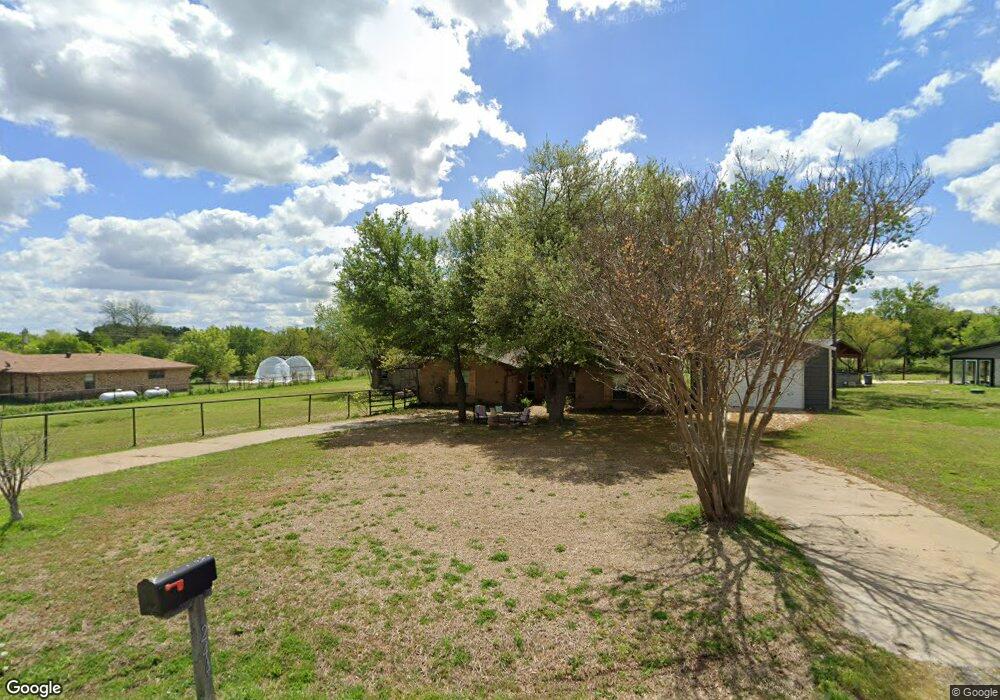
244 Trails End Cir Sherman, TX 75092
Estimated Value: $329,000 - $477,000
--
Bed
2
Baths
1,547
Sq Ft
$246/Sq Ft
Est. Value
About This Home
This home is located at 244 Trails End Cir, Sherman, TX 75092 and is currently estimated at $381,057, approximately $246 per square foot. 244 Trails End Cir is a home located in Grayson County with nearby schools including S&S Consolidated Elementary School, S&S Consolidated Middle School, and S. & S. Cons H.S..
Ownership History
Date
Name
Owned For
Owner Type
Purchase Details
Closed on
Jun 22, 2018
Sold by
Dowes Leanne Gandy and Cantrell Leanne Gandy
Bought by
Downs Leanne Gandy
Current Estimated Value
Home Financials for this Owner
Home Financials are based on the most recent Mortgage that was taken out on this home.
Original Mortgage
$122,500
Outstanding Balance
$106,179
Interest Rate
4.6%
Mortgage Type
Stand Alone First
Estimated Equity
$274,878
Create a Home Valuation Report for This Property
The Home Valuation Report is an in-depth analysis detailing your home's value as well as a comparison with similar homes in the area
Home Values in the Area
Average Home Value in this Area
Purchase History
| Date | Buyer | Sale Price | Title Company |
|---|---|---|---|
| Downs Leanne Gandy | -- | None Available |
Source: Public Records
Mortgage History
| Date | Status | Borrower | Loan Amount |
|---|---|---|---|
| Open | Downs Leanne Gandy | $122,500 |
Source: Public Records
Tax History Compared to Growth
Tax History
| Year | Tax Paid | Tax Assessment Tax Assessment Total Assessment is a certain percentage of the fair market value that is determined by local assessors to be the total taxable value of land and additions on the property. | Land | Improvement |
|---|---|---|---|---|
| 2025 | $2,649 | $285,701 | -- | -- |
| 2024 | $3,878 | $259,728 | $0 | $0 |
| 2023 | $2,320 | $236,116 | $0 | $0 |
| 2022 | $3,610 | $214,651 | $0 | $0 |
| 2021 | $3,711 | $195,894 | $30,845 | $165,049 |
| 2020 | $3,846 | $196,045 | $14,629 | $181,416 |
| 2019 | $4,203 | $197,626 | $14,629 | $182,997 |
| 2018 | $2,656 | $143,019 | $14,629 | $128,390 |
| 2017 | $2,436 | $129,279 | $14,629 | $114,650 |
| 2016 | $2,201 | $118,141 | $14,629 | $103,512 |
| 2015 | $1,628 | $103,596 | $14,629 | $88,967 |
| 2014 | $1,733 | $102,237 | $14,465 | $87,772 |
Source: Public Records
Map
Nearby Homes
- 6514 Joyce Ln
- 1021 Rockport Rd
- 586 Pleasant Home Rd
- 1171 Rockport Rd
- 2615 Rolling Hills Dr
- 00 Primrose Ln
- 1401 Cimmaron Trail
- 1404 Tejas Dr
- 3356 Old Dorchester Rd
- 10.96 Acres Wible Rd
- 750 Wible Rd
- TBD Wible Rd
- 4501 Hawk Ln
- 1426 S Raven Dr
- 1407 Swan Ridge Dr
- 4507 Falcon Dr
- 1415 Mallard Dr
- 112 Pine Ridge Cir
- 6935 S Farm To Market Road 1417
- 1412 Ascot Ave
- 220 Trails End Cir
- 290 Trails End Cir
- 279 Trails End Cir
- 249 Trails End Cir
- 0000 Rockport Rd
- 625 Rockport Rd
- 82 Wagon Wheel Trail
- 40 Payne Dr
- 74 Payne Dr
- 39 Rockport Rd
- 100 Trails End Cir
- 122 Trails End Cir
- 29 Payne Dr
- 41 Wagon Wheel Trail
- 42 Wagon Wheel Trail
- 6820 Ob Groner Rd
- 6820 Ob Groner Rd
- 79 Trails End Cir
- 60 Trails End Cir
- 93 Rams Ln