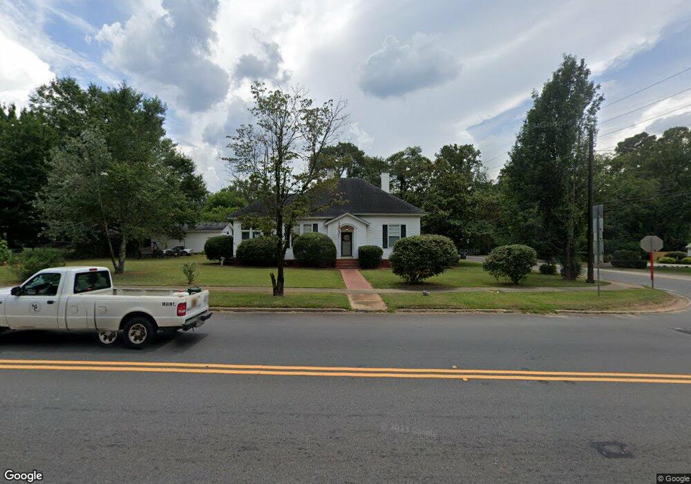
244 W Main St Forsyth, GA 31029
Estimated Value: $213,767 - $316,000
--
Bed
2
Baths
2,159
Sq Ft
$128/Sq Ft
Est. Value
About This Home
This home is located at 244 W Main St, Forsyth, GA 31029 and is currently estimated at $276,692, approximately $128 per square foot. 244 W Main St is a home located in Monroe County with nearby schools including Samuel E. Hubbard Elementary School, Mary Persons High School, and Lighthouse Academy.
Ownership History
Date
Name
Owned For
Owner Type
Purchase Details
Closed on
May 23, 2007
Sold by
Not Provided
Bought by
Mccallum Janet Mullis
Current Estimated Value
Create a Home Valuation Report for This Property
The Home Valuation Report is an in-depth analysis detailing your home's value as well as a comparison with similar homes in the area
Home Values in the Area
Average Home Value in this Area
Purchase History
| Date | Buyer | Sale Price | Title Company |
|---|---|---|---|
| Mccallum Janet Mullis | $113,000 | -- |
Source: Public Records
Tax History Compared to Growth
Tax History
| Year | Tax Paid | Tax Assessment Tax Assessment Total Assessment is a certain percentage of the fair market value that is determined by local assessors to be the total taxable value of land and additions on the property. | Land | Improvement |
|---|---|---|---|---|
| 2024 | $727 | $54,240 | $7,240 | $47,000 |
| 2023 | $56 | $46,920 | $7,240 | $39,680 |
| 2022 | $1,388 | $46,920 | $7,240 | $39,680 |
| 2021 | $1,432 | $46,920 | $7,240 | $39,680 |
| 2020 | $1,489 | $46,920 | $7,240 | $39,680 |
| 2019 | $1,497 | $46,840 | $7,160 | $39,680 |
| 2018 | $1,501 | $46,840 | $7,160 | $39,680 |
| 2017 | $1,502 | $46,840 | $7,160 | $39,680 |
| 2016 | $1,435 | $46,840 | $7,160 | $39,680 |
| 2015 | $1,368 | $46,840 | $7,160 | $39,680 |
| 2014 | $1,348 | $46,840 | $7,160 | $39,680 |
Source: Public Records
Map
Nearby Homes
- 333 W Main St
- 200 Indian Springs Dr
- 225 N Indian Springs Dr
- 263 Martin Luther King jr Dr
- 394 Brookwood Dr
- 507 W Main St
- 84 Hillsdale Rd
- S S Lee St
- 0 S Lee St Unit 10646818
- 3487 Georgia 42
- 3271 Georgia 42
- 3471 Georgia 42
- 101 E Chambers St
- 397 Ensign Rd
- 299 Willis Wilder Dr
- 120 Willis Wilder Dr
- 60 Dew Place
- 285 E Main St
- 205 Solomon St
- 47 Ensign Rd
- 22 Martin Luther King jr Dr
- 0 Mlk jr Dr Unit 3270381
- 0 Mlk jr Dr Unit 7091440
- 228 W Main St
- 23 Cabaniss Ave
- 23 Cabiness Ave
- 34 Martin Luther King jr Dr
- 34 Martin Luther King jr Dr
- 34 Martin Luther King jr Dr
- 31 Cabaniss Ave
- 241 W Main St
- 260 W Main St
- 37 Martin Luther King jr Dr
- 217 W Main St
- 259 W Main St
- 39 Cabaniss Ave
- 234 W Johnston St
- 261 Sunset Terrace
- 210 W Johnston St
- 277 Sunset Terrace