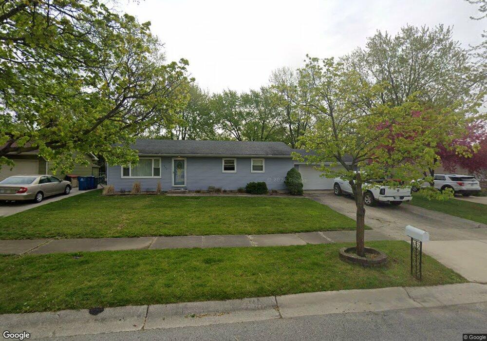
244 Walnut Ln Crown Point, IN 46307
Estimated Value: $213,000 - $286,000
3
Beds
1
Bath
1,144
Sq Ft
$220/Sq Ft
Est. Value
About This Home
This home is located at 244 Walnut Ln, Crown Point, IN 46307 and is currently estimated at $251,346, approximately $219 per square foot. 244 Walnut Ln is a home located in Lake County with nearby schools including Lake Street Elementary School, Robert Taft Middle School, and Crown Point High School.
Ownership History
Date
Name
Owned For
Owner Type
Purchase Details
Closed on
Dec 1, 2017
Sold by
Amplmyer Kirk
Bought by
Amp Homes Llc
Current Estimated Value
Purchase Details
Closed on
Nov 30, 2017
Sold by
Amplmyer Kirk
Bought by
Amp Homes Llc
Purchase Details
Closed on
Feb 5, 2008
Sold by
The Bank New York National Trust Co Na
Bought by
Amptmeyer Kirk
Purchase Details
Closed on
Nov 16, 2007
Sold by
Benjamin John P
Bought by
The Bank New York National Trust Co Na and Jpmorgan Chase Bank Na
Create a Home Valuation Report for This Property
The Home Valuation Report is an in-depth analysis detailing your home's value as well as a comparison with similar homes in the area
Home Values in the Area
Average Home Value in this Area
Purchase History
| Date | Buyer | Sale Price | Title Company |
|---|---|---|---|
| Amp Homes Llc | -- | None Available | |
| Amp Homes Llc | -- | None Available | |
| Amptmeyer Kirk | -- | Statewide Title Co Inc | |
| The Bank New York National Trust Co Na | $109,708 | None Available |
Source: Public Records
Tax History
| Year | Tax Paid | Tax Assessment Tax Assessment Total Assessment is a certain percentage of the fair market value that is determined by local assessors to be the total taxable value of land and additions on the property. | Land | Improvement |
|---|---|---|---|---|
| 2025 | $3,672 | $177,800 | $34,100 | $143,700 |
| 2024 | $4,518 | $178,100 | $34,100 | $144,000 |
| 2023 | $3,627 | $164,400 | $34,100 | $130,300 |
| 2022 | $3,472 | $157,100 | $34,100 | $123,000 |
| 2021 | $3,262 | $147,600 | $26,600 | $121,000 |
| 2020 | $3,207 | $145,100 | $26,600 | $118,500 |
| 2019 | $3,124 | $139,300 | $26,600 | $112,700 |
| 2018 | $3,462 | $134,100 | $26,600 | $107,500 |
| 2017 | $3,322 | $127,000 | $26,600 | $100,400 |
| 2016 | $3,319 | $124,700 | $26,600 | $98,100 |
| 2014 | $3,002 | $120,800 | $26,500 | $94,300 |
| 2013 | $2,962 | $117,800 | $26,600 | $91,200 |
Source: Public Records
Map
Nearby Homes
- 138 S Chase Dr
- 114 S Chase Dr
- 460 O'Hagan Dr
- 629 W South St
- 619 W North St
- 412 W South St
- 437 Fairview Ave
- 0 W Joliet St
- 301 Hoffman St
- 7770 W 106th Ln
- 10813 Lane St
- 306 Holton Ridge
- 817 Mary Ellen Dr
- 767 Kenmare Pkwy
- 771 Kenmare Pkwy
- 772 Kenmare Pkwy
- 10705 Lane St
- 511 N West St
- 10607 Lane St
- 430 S East St
Your Personal Tour Guide
Ask me questions while you tour the home.