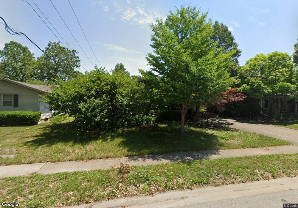
2440 Haverford Rd Springfield, IL 62704
Westwood Forum NeighborhoodEstimated Value: $127,000 - $235,000
3
Beds
2
Baths
1,665
Sq Ft
$115/Sq Ft
Est. Value
About This Home
This home is located at 2440 Haverford Rd, Springfield, IL 62704 and is currently estimated at $191,310, approximately $114 per square foot. 2440 Haverford Rd is a home located in Sangamon County with nearby schools including Owen Marsh Elementary School, Benjamin Franklin Middle School, and Springfield High School.
Ownership History
Date
Name
Owned For
Owner Type
Purchase Details
Closed on
Oct 21, 2024
Sold by
Hickory Point Bank & Trust Fsb
Bought by
White Edward M and White Sharon S
Current Estimated Value
Home Financials for this Owner
Home Financials are based on the most recent Mortgage that was taken out on this home.
Original Mortgage
$80,750
Outstanding Balance
$79,691
Interest Rate
6.09%
Mortgage Type
New Conventional
Estimated Equity
$111,619
Purchase Details
Closed on
Feb 26, 2013
Create a Home Valuation Report for This Property
The Home Valuation Report is an in-depth analysis detailing your home's value as well as a comparison with similar homes in the area
Home Values in the Area
Average Home Value in this Area
Purchase History
| Date | Buyer | Sale Price | Title Company |
|---|---|---|---|
| White Edward M | $95,000 | None Listed On Document | |
| -- | $50,000 | -- |
Source: Public Records
Mortgage History
| Date | Status | Borrower | Loan Amount |
|---|---|---|---|
| Open | White Edward M | $80,750 |
Source: Public Records
Tax History
| Year | Tax Paid | Tax Assessment Tax Assessment Total Assessment is a certain percentage of the fair market value that is determined by local assessors to be the total taxable value of land and additions on the property. | Land | Improvement |
|---|---|---|---|---|
| 2024 | $4,535 | $53,997 | $6,497 | $47,500 |
| 2023 | $4,361 | $49,321 | $5,934 | $43,387 |
| 2022 | $4,157 | $46,386 | $5,629 | $40,757 |
| 2021 | $4,019 | $44,649 | $5,418 | $39,231 |
| 2020 | $3,939 | $44,716 | $5,426 | $39,290 |
| 2019 | $3,866 | $44,560 | $5,407 | $39,153 |
| 2018 | $3,747 | $44,343 | $5,381 | $38,962 |
| 2017 | $3,669 | $43,769 | $5,311 | $38,458 |
| 2016 | $3,597 | $43,131 | $5,234 | $37,897 |
| 2015 | $3,562 | $42,615 | $5,171 | $37,444 |
| 2014 | $3,362 | $42,340 | $5,138 | $37,202 |
| 2013 | $3,287 | $40,569 | $5,138 | $35,431 |
Source: Public Records
Map
Nearby Homes
- 2234 Warson Rd
- 2216 Charlack Ave
- 2315 Connie Dr
- 2306 Chatham Rd
- 1737 W Homewood Ave Unit 1
- 1604 Cressa Ct
- 1705 Interlacken Rd
- 1605 Scarlett Place
- 1705 Reed Ave Unit 1
- 1621 Seton Dr
- 53 Friars Ln
- 1709 Outer Park Dr Unit 1
- 2121 S Illini Rd Unit 1
- 520 E South Grand Ave
- 2001 W Laurel St
- 141 Archer Ave
- 2341 W White Oaks Dr
- 16 Inverness Rd
- 2337 Grinnell Dr
- 161 Cypress Point Dr
- 2444 Haverford Rd
- 2436 Haverford Rd
- 2430 Haverford Rd
- 2449 Haverford Rd
- 2445 Haverford Rd
- 2123 W Iles Ave
- 2201 W Iles Ave
- 2424 Haverford Rd
- 2441 Haverford Rd
- 2065 W Iles Ave
- 2009 W Iles Ave
- 2001 W Iles Ave
- 2120 W Iles Ave
- 2131 W Iles Ave
- 0 W Iles Ave
- 2154 Warwick Dr
- 2154 Warwick Dr
- 2150 Warwick Dr
- 2121 W Iles Ave
- 2435 Haverford Rd
Your Personal Tour Guide
Ask me questions while you tour the home.