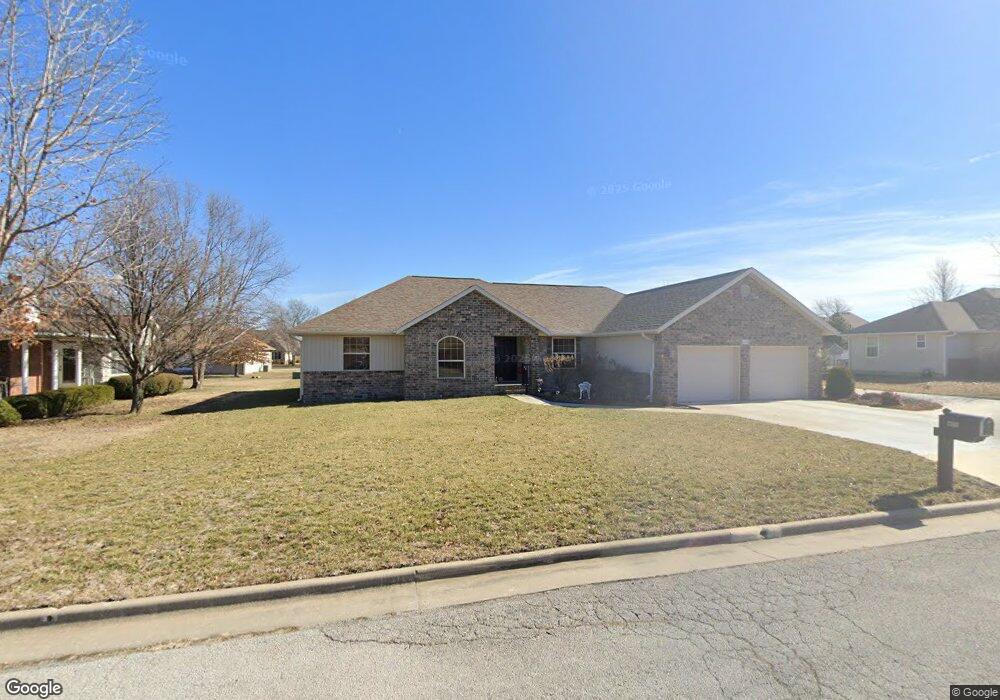
2440 Stephen St Carthage, MO 64836
Estimated Value: $313,000 - $333,245
Studio
2
Baths
2,231
Sq Ft
$145/Sq Ft
Est. Value
About This Home
This home is located at 2440 Stephen St, Carthage, MO 64836 and is currently estimated at $323,061, approximately $144 per square foot. 2440 Stephen St is a home with nearby schools including Carthage High School, St. Ann's Catholic School, and Victory Academy.
Ownership History
Date
Name
Owned For
Owner Type
Purchase Details
Closed on
Aug 18, 2022
Sold by
Russow and Janet
Bought by
Robert And Janet Russow Trust
Current Estimated Value
Purchase Details
Closed on
Mar 29, 2013
Sold by
Kaiser Randee and Kaiser Brenda
Bought by
Russow Robert and Russow Janet
Purchase Details
Closed on
Jun 7, 2005
Sold by
Phelps John O and Phelps Carolyn
Bought by
Kaiser Randee and Kaiser Brenda
Home Financials for this Owner
Home Financials are based on the most recent Mortgage that was taken out on this home.
Original Mortgage
$16,150
Interest Rate
5.79%
Mortgage Type
Purchase Money Mortgage
Create a Home Valuation Report for This Property
The Home Valuation Report is an in-depth analysis detailing your home's value as well as a comparison with similar homes in the area
Home Values in the Area
Average Home Value in this Area
Purchase History
| Date | Buyer | Sale Price | Title Company |
|---|---|---|---|
| Robert And Janet Russow Trust | -- | None Listed On Document | |
| Russow Robert | -- | None Available | |
| Kaiser Randee | -- | -- |
Source: Public Records
Mortgage History
| Date | Status | Borrower | Loan Amount |
|---|---|---|---|
| Previous Owner | Kaiser Randee | $16,150 |
Source: Public Records
Tax History
| Year | Tax Paid | Tax Assessment Tax Assessment Total Assessment is a certain percentage of the fair market value that is determined by local assessors to be the total taxable value of land and additions on the property. | Land | Improvement |
|---|---|---|---|---|
| 2025 | $2,014 | $43,270 | $4,310 | $38,960 |
| 2024 | $2,014 | $39,120 | $4,310 | $34,810 |
| 2023 | $2,014 | $39,120 | $4,310 | $34,810 |
| 2022 | $2,023 | $39,430 | $4,310 | $35,120 |
| 2021 | $2,001 | $39,430 | $4,310 | $35,120 |
| 2020 | $1,924 | $36,330 | $4,310 | $32,020 |
| 2019 | $1,927 | $36,330 | $4,310 | $32,020 |
| 2018 | $1,988 | $37,580 | $0 | $0 |
| 2016 | $1,854 | $35,060 | $0 | $0 |
Source: Public Records
Map
Nearby Homes
- 2515 S River St
- TBD Lexie Ln
- TBD George E Phelps Blvd
- 909 Durward Hall Dr
- XXXX Clinton
- 905 Durward Hall Dr
- 2206 Benjamin Dr
- 1328 Hafner Ct
- 2110 Pearl St
- 1910 Wynwood Dr
- 2032 Alison St
- 000 Annie Baxter & George Phelps
- SEC Hazel & Phelps Unit 1
- SEC Hazel & Phelps Unit 2
- 1910 Buena Vista Ave
- Hazel & Phelps Sec
- 1830 S Maple St
- 510 W Fairview Ave
- NEC Fir Rd & Hazel Ave Unit Par 2
- 1131 Belle Air Place
Your Personal Tour Guide
Ask me questions while you tour the home.