Estimated Value: $688,000 - $1,132,000
4
Beds
4
Baths
3,372
Sq Ft
$272/Sq Ft
Est. Value
About This Home
This home is located at 24402 S Central Point Rd, Canby, OR 97013 and is currently estimated at $916,970, approximately $271 per square foot. 24402 S Central Point Rd is a home located in Clackamas County with nearby schools including Josefa L. Sambrano Elementary School, Cecile Trost Elementary School, and Carus School.
Ownership History
Date
Name
Owned For
Owner Type
Purchase Details
Closed on
Jun 26, 2019
Sold by
Pellegrini Kelli L and Estate Of Donald L Schroder
Bought by
Stutes Matthew P and Stutes Lauren A
Current Estimated Value
Home Financials for this Owner
Home Financials are based on the most recent Mortgage that was taken out on this home.
Original Mortgage
$470,000
Outstanding Balance
$411,538
Interest Rate
4%
Mortgage Type
Purchase Money Mortgage
Estimated Equity
$505,432
Purchase Details
Closed on
Sep 28, 1998
Sold by
Schroder Don L and Schroder Levona R
Bought by
Schroder Donald L and Schroder Lavona R
Create a Home Valuation Report for This Property
The Home Valuation Report is an in-depth analysis detailing your home's value as well as a comparison with similar homes in the area
Home Values in the Area
Average Home Value in this Area
Purchase History
| Date | Buyer | Sale Price | Title Company |
|---|---|---|---|
| Stutes Matthew P | $475,000 | First American | |
| Schroder Donald L | -- | Pacific Nw Title |
Source: Public Records
Mortgage History
| Date | Status | Borrower | Loan Amount |
|---|---|---|---|
| Open | Stutes Matthew P | $470,000 |
Source: Public Records
Tax History Compared to Growth
Tax History
| Year | Tax Paid | Tax Assessment Tax Assessment Total Assessment is a certain percentage of the fair market value that is determined by local assessors to be the total taxable value of land and additions on the property. | Land | Improvement |
|---|---|---|---|---|
| 2025 | $7,073 | $494,235 | -- | -- |
| 2024 | $6,876 | $479,840 | -- | -- |
| 2023 | $6,876 | $465,865 | $0 | $0 |
| 2022 | $6,287 | $452,297 | $0 | $0 |
| 2021 | $6,360 | $462,243 | $0 | $0 |
| 2020 | $4,322 | $309,627 | $0 | $0 |
| 2019 | $4,096 | $300,609 | $0 | $0 |
| 2018 | $4,012 | $291,853 | $0 | $0 |
| 2017 | $3,914 | $283,352 | $0 | $0 |
| 2016 | $3,779 | $275,099 | $0 | $0 |
| 2015 | $3,645 | $267,086 | $0 | $0 |
| 2014 | $3,540 | $259,307 | $0 | $0 |
Source: Public Records
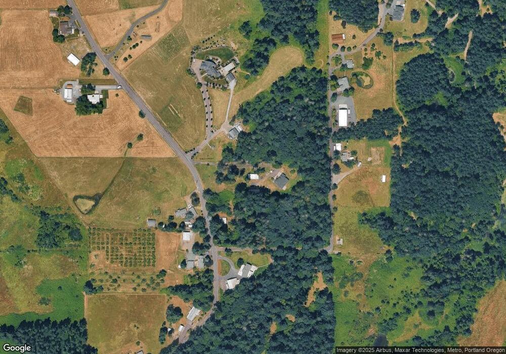
Map
Nearby Homes
- 11800 S Carus Rd
- 11700 S Makin Ln
- 24843 S Blundell Rd
- 12192 S Mulino Rd
- 12720 S Carus Rd
- 24450 S Highway 213
- 13392 S Carus Rd
- 13511 S Freeman Rd
- 22396 S Parrot Creek Rd
- 1072 S Walnut St
- 2211 SE 12th Ave
- 2180 SE 11th Place
- 399 S Sequoia Pkwy
- 1053 S Vine St
- 26684 S Fish Rd
- 12950 S New Era Rd
- 26740 S Fish Rd
- 1650 S Redwood St
- 1660 S Redwood St
- 1460 SE 9th Ave
- 24476 S Central Point Rd
- 24490 S Central Point Rd
- 24520 S Central Point Rd
- 24451 S Central Point Rd
- 24515 S Central Point Rd
- 24390 S Central Point Rd
- 24498 S Central Point Rd
- 24706 S Central Point Rd
- 24571 S Central Point Rd
- 24282 S Central Point Rd
- 25341 S Central Point Rd
- 24341 S Central Point Rd
- 24510 S Central Point Rd
- 24251 S Central Point Rd
- 24605 S Central Point Rd
- 24687 S Central Point Rd
- 12031 S Union Hall Rd
- 24724 S Central Point Rd
- 24633 S Central Point Rd
- 24167 S Central Point Rd