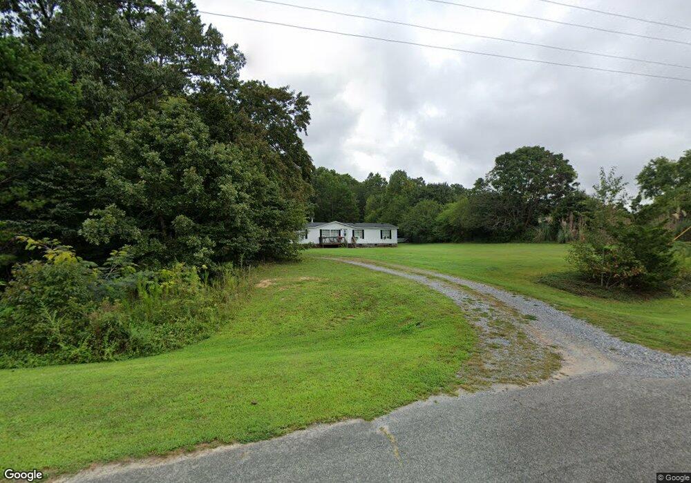
2441 Longneck Dr Iron Station, NC 28080
Estimated Value: $173,279 - $254,000
3
Beds
2
Baths
1,512
Sq Ft
$142/Sq Ft
Est. Value
About This Home
This home is located at 2441 Longneck Dr, Iron Station, NC 28080 and is currently estimated at $214,320, approximately $141 per square foot. 2441 Longneck Dr is a home located in Lincoln County with nearby schools including Iron Station Elementary School, East Lincoln Middle School, and East Lincoln High School.
Ownership History
Date
Name
Owned For
Owner Type
Purchase Details
Closed on
Nov 15, 2016
Sold by
Robbins Ronald
Bought by
Moore Danna and Moore Richard
Current Estimated Value
Home Financials for this Owner
Home Financials are based on the most recent Mortgage that was taken out on this home.
Original Mortgage
$83,460
Outstanding Balance
$67,172
Interest Rate
3.5%
Mortgage Type
FHA
Estimated Equity
$147,148
Purchase Details
Closed on
Apr 21, 2016
Sold by
Farrell Karen A and Miller Roy S
Bought by
Robbins Ronald
Purchase Details
Closed on
Jan 29, 2002
Bought by
Farrell Karen A Nka Karen A Miller
Purchase Details
Closed on
Jan 18, 2002
Bought by
Branch Banking & Trust Company
Purchase Details
Closed on
Jun 5, 2000
Bought by
Carranza Fermin A and Inter Jennie E
Create a Home Valuation Report for This Property
The Home Valuation Report is an in-depth analysis detailing your home's value as well as a comparison with similar homes in the area
Home Values in the Area
Average Home Value in this Area
Purchase History
| Date | Buyer | Sale Price | Title Company |
|---|---|---|---|
| Moore Danna | $85,000 | None Available | |
| Robbins Ronald | $37,500 | None Available | |
| Farrell Karen A Nka Karen A Miller | $84,500 | -- | |
| Branch Banking & Trust Company | $24,500 | -- | |
| Carranza Fermin A | $18,000 | -- |
Source: Public Records
Mortgage History
| Date | Status | Borrower | Loan Amount |
|---|---|---|---|
| Open | Moore Danna | $83,460 |
Source: Public Records
Tax History Compared to Growth
Tax History
| Year | Tax Paid | Tax Assessment Tax Assessment Total Assessment is a certain percentage of the fair market value that is determined by local assessors to be the total taxable value of land and additions on the property. | Land | Improvement |
|---|---|---|---|---|
| 2025 | $976 | $135,023 | $32,173 | $102,850 |
| 2024 | $956 | $135,023 | $32,173 | $102,850 |
| 2023 | $933 | $135,023 | $32,173 | $102,850 |
| 2022 | $768 | $88,779 | $25,918 | $62,861 |
| 2021 | $768 | $88,779 | $25,918 | $62,861 |
| 2020 | $635 | $88,779 | $25,918 | $62,861 |
| 2019 | $635 | $88,779 | $25,918 | $62,861 |
| 2018 | $670 | $78,211 | $23,952 | $54,259 |
| 2017 | $569 | $78,211 | $23,952 | $54,259 |
| 2016 | $569 | $78,211 | $23,952 | $54,259 |
| 2015 | $644 | $78,211 | $23,952 | $54,259 |
| 2014 | $712 | $88,939 | $26,554 | $62,385 |
Source: Public Records
Map
Nearby Homes
- 5486 E Highway 27
- 3388 Rhyne Forest Rd
- 1987 & 1981 Magnolia Grove Rd
- 1371 Alexis High Shoals Rd
- 3960 Orchard Rd
- 222 Oakhill St
- 1554 Forum Ln
- 1481 Depot St
- 1279 Craig Dr
- 2651 Keever Dairy Farm Rd
- 4394 Mountain Creek Rd
- 6 Hager Mountain Ln
- 1351 Hardin Rd
- 3132 Fox Den Cir
- 4859 Paysour Pond Rd
- 4435 Cornett Dr
- 1259 Hardin Rd
- 121 Alexis Forest Dr
- 1341 Mirror Lake Rd
- 324 Old Hardin Rd
- 2457 Longneck Dr
- 2419 Longneck Dr
- 2793 Wingtip Ct
- 2471 Longneck Dr
- 2420 Long Neck Dr
- 2420 Longneck Dr
- 2783 Wingtip Ct
- 2652 Hudson Poultry Rd
- 2631 Hudson Poultry Rd
- 2479 Longneck Dr
- LOT19 Long Neck Dr
- 2683 Hudson Poultry Rd
- 2771 Wingtip Ct
- 2782 Wingtip Ct
- 2767 Wingtip Ct
- 2697 Hudson Poultry Rd
- 2509 Longneck Dr
- 2774 Wingtip Ct
- 2525 Longneck Dr
- 2709 Hudson Poultry Rd