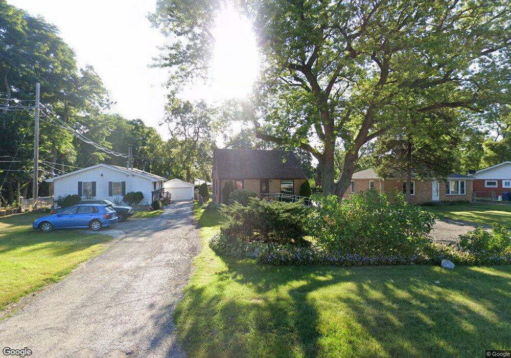
2441 N Sheridan Rd Waukegan, IL 60087
Estimated Value: $213,000 - $247,460
3
Beds
2
Baths
1,163
Sq Ft
$201/Sq Ft
Est. Value
About This Home
This home is located at 2441 N Sheridan Rd, Waukegan, IL 60087 and is currently estimated at $234,115, approximately $201 per square foot. 2441 N Sheridan Rd is a home located in Lake County with nearby schools including John S. Clark Elementary School, Jack Benny Middle School, and Waukegan High School.
Ownership History
Date
Name
Owned For
Owner Type
Purchase Details
Closed on
Jun 5, 2000
Sold by
Hampson Susan A and Mcdonald Susan A
Bought by
Hampson Andrew A
Current Estimated Value
Home Financials for this Owner
Home Financials are based on the most recent Mortgage that was taken out on this home.
Original Mortgage
$108,567
Outstanding Balance
$38,344
Interest Rate
8.66%
Mortgage Type
FHA
Estimated Equity
$195,771
Purchase Details
Closed on
Jul 21, 1995
Sold by
Staskiewicz William and Staskiewicz Marion
Bought by
Mcdonald Susan A
Home Financials for this Owner
Home Financials are based on the most recent Mortgage that was taken out on this home.
Original Mortgage
$101,074
Interest Rate
7.5%
Mortgage Type
FHA
Create a Home Valuation Report for This Property
The Home Valuation Report is an in-depth analysis detailing your home's value as well as a comparison with similar homes in the area
Home Values in the Area
Average Home Value in this Area
Purchase History
| Date | Buyer | Sale Price | Title Company |
|---|---|---|---|
| Hampson Andrew A | $110,000 | -- | |
| Mcdonald Susan A | $103,000 | -- |
Source: Public Records
Mortgage History
| Date | Status | Borrower | Loan Amount |
|---|---|---|---|
| Open | Hampson Andrew A | $108,567 | |
| Closed | Mcdonald Susan A | $101,074 |
Source: Public Records
Tax History Compared to Growth
Tax History
| Year | Tax Paid | Tax Assessment Tax Assessment Total Assessment is a certain percentage of the fair market value that is determined by local assessors to be the total taxable value of land and additions on the property. | Land | Improvement |
|---|---|---|---|---|
| 2024 | $3,817 | $53,745 | $12,189 | $41,556 |
| 2023 | $4,758 | $48,480 | $10,995 | $37,485 |
| 2022 | $4,758 | $54,667 | $10,981 | $43,686 |
| 2021 | $4,481 | $48,985 | $9,794 | $39,191 |
| 2020 | $4,493 | $45,635 | $9,124 | $36,511 |
| 2019 | $4,469 | $41,817 | $8,361 | $33,456 |
| 2018 | $4,887 | $44,178 | $14,840 | $29,338 |
| 2017 | $4,706 | $39,085 | $13,129 | $25,956 |
| 2016 | $3,677 | $29,795 | $10,009 | $19,786 |
| 2015 | $3,491 | $26,667 | $8,958 | $17,709 |
| 2014 | $2,861 | $22,449 | $7,031 | $15,418 |
| 2012 | $3,766 | $24,322 | $7,617 | $16,705 |
Source: Public Records
Map
Nearby Homes
- 0 Traditions Dr
- 2246 Alta Vista Dr
- 301 W Eagle Ct
- 2213 Alta Vista Dr
- 37231 N Ganster Rd
- 2232 Walnut St
- 10241 W Bairstow Ave
- 37789 N Sheridan Rd
- 1905 Linden Ave
- 616 W Keith Ave
- 1612 Whitney St
- 37905 N Loyola Ave
- 1636 Rice St
- 1018 W Atlantic Ave
- 38101 N Sheridan Rd
- 2613 N Lewis Ave
- 1336 N Ash St
- 2350 N Lewis Ave
- 1335 Chestnut St
- 38362 N Manor Ave
- 2439 N Sheridan Rd
- 2445 N Sheridan Rd
- 2435 N Sheridan Rd
- 2430 Corona Rd
- 2431 N Sheridan Rd
- 2434 Corona Rd
- 2426 Corona Rd
- 2425 N Sheridan Rd
- 2422 Corona Rd
- 2440 Corona Rd
- 2421 N Sheridan Rd
- 2421 N Sheridan Rd
- 2418 Corona Rd
- 2590 N Sheridan Rd
- 2421 Corona Rd
- 2444 Corona Rd
- 2425 Corona Rd
- 2419 Corona Rd
- 2550 Burnside Way
- 2550 Burnside Way Unit 36-1