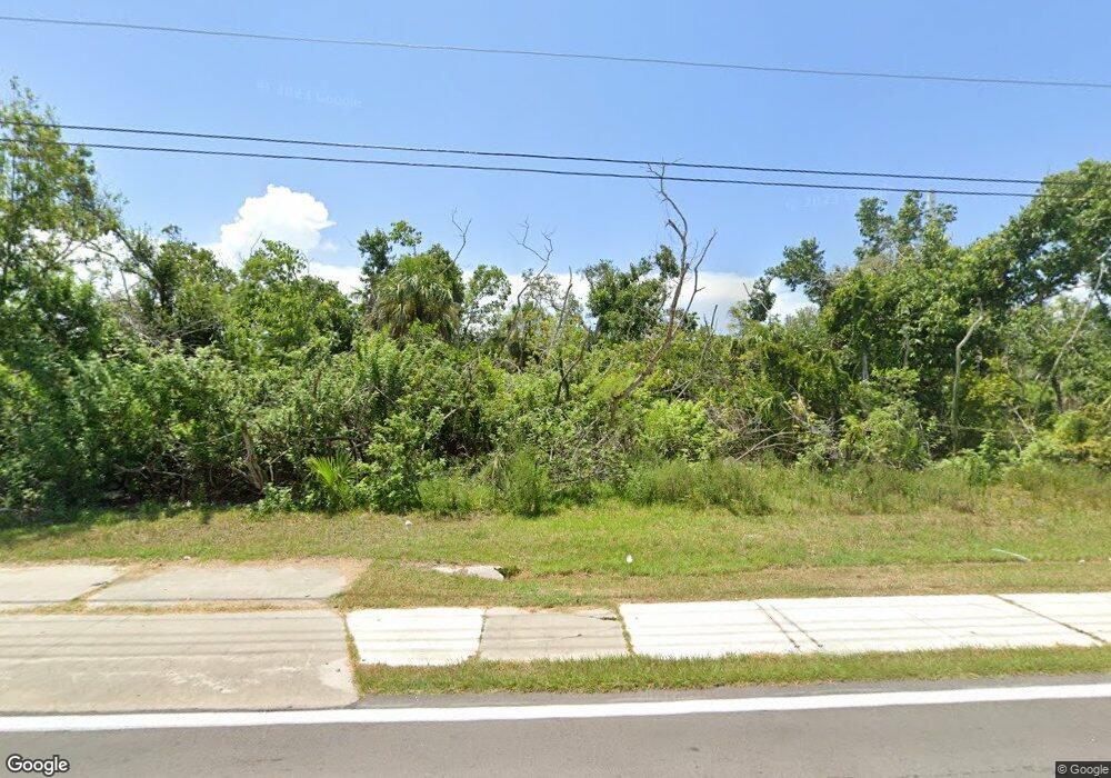
24415 Airport Rd Punta Gorda, FL 33950
Central Punta Gorda NeighborhoodEstimated Value: $103,000 - $842,844
--
Bed
--
Bath
--
Sq Ft
4.66
Acres
About This Home
This home is located at 24415 Airport Rd, Punta Gorda, FL 33950 and is currently estimated at $352,281. 24415 Airport Rd is a home located in Charlotte County with nearby schools including Sallie Jones Elementary School, Punta Gorda Middle School, and Charlotte High School.
Ownership History
Date
Name
Owned For
Owner Type
Purchase Details
Closed on
Jul 15, 2005
Sold by
Persons J Steven and Persons Brenda H
Bought by
J & B Llc
Current Estimated Value
Purchase Details
Closed on
Mar 11, 2002
Sold by
Webster Carol K
Bought by
Persons J Steven and Persons Brenda H
Home Financials for this Owner
Home Financials are based on the most recent Mortgage that was taken out on this home.
Original Mortgage
$30,000
Interest Rate
6.86%
Purchase Details
Closed on
Feb 5, 1997
Sold by
King Alice C and Welsh Alice C
Bought by
Welsh Alice C and King Alice C
Create a Home Valuation Report for This Property
The Home Valuation Report is an in-depth analysis detailing your home's value as well as a comparison with similar homes in the area
Home Values in the Area
Average Home Value in this Area
Purchase History
| Date | Buyer | Sale Price | Title Company |
|---|---|---|---|
| J & B Llc | $500,000 | -- | |
| Persons J Steven | $37,500 | -- | |
| Welsh Alice C | -- | -- |
Source: Public Records
Mortgage History
| Date | Status | Borrower | Loan Amount |
|---|---|---|---|
| Previous Owner | Persons J Steven | $30,000 |
Source: Public Records
Tax History Compared to Growth
Tax History
| Year | Tax Paid | Tax Assessment Tax Assessment Total Assessment is a certain percentage of the fair market value that is determined by local assessors to be the total taxable value of land and additions on the property. | Land | Improvement |
|---|---|---|---|---|
| 2023 | $1,995 | $45,909 | $0 | $0 |
| 2022 | $1,941 | $88,230 | $88,230 | $0 |
| 2021 | $1,643 | $44,115 | $44,115 | $0 |
| 2020 | $1,558 | $38,233 | $38,233 | $0 |
| 2019 | $1,492 | $32,939 | $32,939 | $0 |
| 2018 | $1,415 | $29,998 | $29,998 | $0 |
| 2017 | $1,448 | $38,233 | $38,233 | $0 |
| 2016 | $1,331 | $23,558 | $0 | $0 |
| 2015 | $1,338 | $23,558 | $0 | $0 |
| 2014 | $921 | $23,558 | $0 | $0 |
Source: Public Records
Map
Nearby Homes
- 2600 Jerry Ave
- 2601 Lee St
- 2624 Lee St
- 2715 Lee St
- 2620 Cooper St
- 2537 Carmen St Unit 31
- 2529 Carmen St Unit 27
- 2533 Carmen St Unit 29
- 2411 Carmen St
- 541 Edmund St
- 24300 Airport Rd Unit 10
- 24300 Airport Rd Unit 100
- 24300 Airport Rd Unit 2
- 24300 Airport Rd Unit 17
- 24300 Airport Rd Unit 86
- 24300 Airport Rd Unit 111
- 24300 Airport Rd Unit 26
- 24300 Airport Rd Unit 45
- 24300 Airport Rd Unit 99
- 24300 Airport Rd Unit 132
- 24383 Airport Rd
- 2718 Lake St
- 547 Oliphant Ln
- 2506 Jerry Ave
- 2615/2625 Lake St
- 2600 Lake St
- 24455 Airport Rd
- 24392 Airport Rd
- 513 Oliphant Ln
- 2616 Lake St
- 2600 Jerry Ave Unit 12
- 2404 Jerry Ave
- 24384 Airport Rd
- 2615 Lee St
- 2600 Lee St
- 2515 Jerry Ave
- 2626 Lake St
- 2419 Jerry Ave
- 2625 Lee St
- 2614 Lee St
