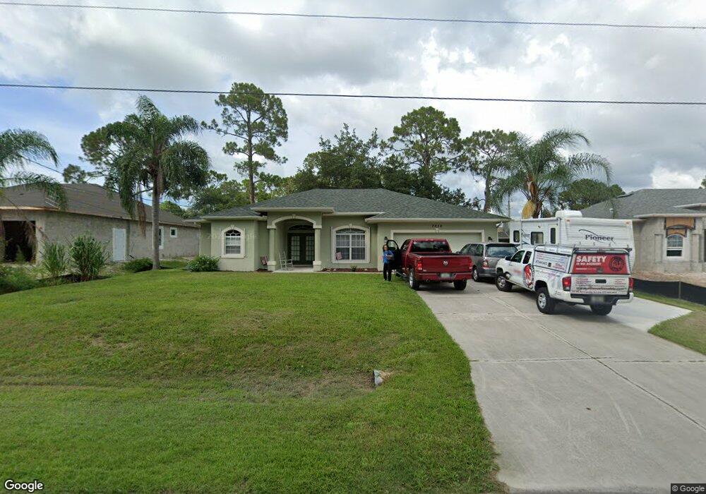
2442 David Ave North Port, FL 34286
Estimated Value: $286,869 - $336,000
3
Beds
2
Baths
1,730
Sq Ft
$184/Sq Ft
Est. Value
About This Home
This home is located at 2442 David Ave, North Port, FL 34286 and is currently estimated at $318,717, approximately $184 per square foot. 2442 David Ave is a home located in Sarasota County with nearby schools including North Port High School, Lamarque Elementary School, and Woodland Middle School.
Ownership History
Date
Name
Owned For
Owner Type
Purchase Details
Closed on
Mar 21, 2003
Sold by
Windemere Homes Inc
Bought by
Osborne Tory J and Osborne Vickie L
Current Estimated Value
Home Financials for this Owner
Home Financials are based on the most recent Mortgage that was taken out on this home.
Original Mortgage
$136,119
Outstanding Balance
$57,913
Interest Rate
5.86%
Mortgage Type
VA
Estimated Equity
$260,804
Create a Home Valuation Report for This Property
The Home Valuation Report is an in-depth analysis detailing your home's value as well as a comparison with similar homes in the area
Home Values in the Area
Average Home Value in this Area
Purchase History
| Date | Buyer | Sale Price | Title Company |
|---|---|---|---|
| Osborne Tory J | $133,500 | -- | |
| Osborne Tory J | $133,500 | -- |
Source: Public Records
Mortgage History
| Date | Status | Borrower | Loan Amount |
|---|---|---|---|
| Open | Osborne Tory J | $136,119 | |
| Closed | Osborne Tory J | $136,119 |
Source: Public Records
Tax History Compared to Growth
Tax History
| Year | Tax Paid | Tax Assessment Tax Assessment Total Assessment is a certain percentage of the fair market value that is determined by local assessors to be the total taxable value of land and additions on the property. | Land | Improvement |
|---|---|---|---|---|
| 2024 | $2,060 | $126,182 | -- | -- |
| 2023 | $2,060 | $122,507 | $0 | $0 |
| 2022 | $1,697 | $98,356 | $0 | $0 |
| 2021 | $1,643 | $95,491 | $0 | $0 |
| 2020 | $1,593 | $94,173 | $0 | $0 |
| 2019 | $1,543 | $92,056 | $0 | $0 |
| 2018 | $1,411 | $90,340 | $0 | $0 |
| 2017 | $1,381 | $88,482 | $0 | $0 |
| 2016 | $1,372 | $141,600 | $4,800 | $136,800 |
| 2015 | $1,378 | $118,400 | $4,300 | $114,100 |
| 2014 | $1,354 | $84,115 | $0 | $0 |
Source: Public Records
Map
Nearby Homes
- 4504 Michaler St
- 0 Cinderella Rd Unit A4544087
- 4743 Michaler St
- 0 Ancient Rd Unit MFRC7514981
- Tbd Snug St
- 13 Snug St
- 2214 Pratt Ave
- 0 Cinderella Cir Unit A4533045
- 2200 Pratt Ave
- 0 Snug St Unit MFRC7515572
- 0 Snug St Unit MFROK225184
- 0 Tallyrand Ave
- 4037 Cinderella Rd
- 0 Maximo Rd Unit MFRC7505206
- 0 Maximo Rd Unit Lot 27, MFRC7509333
- 0 Carthage St Unit MFRC7493998
- 0 Carthage St Unit MFRD6144545
- 2931 Barry Rd
- 2967 Barry Rd
- 0958-11-4215 Natural St
- 2424 David Ave
- 2431 David Ave
- 2460 David Ave
- 2406 David Ave
- 4379 Michaler St
- 5556 N Cranberry Blvd
- 2478 David Ave
- 5576 N Cranberry Blvd
- 5508 N Cranberry Blvd
- 2418 Deerfield St
- 2487 David Ave
- 2496 David Ave
- 2428 Deerfield St
- 4432 Michaler St
- 4404 Michaler St
- 4460 Michaler St
- Deerfield St
- 4376 Michaler St
- 2514 David Ave
- 0 Deerfield St