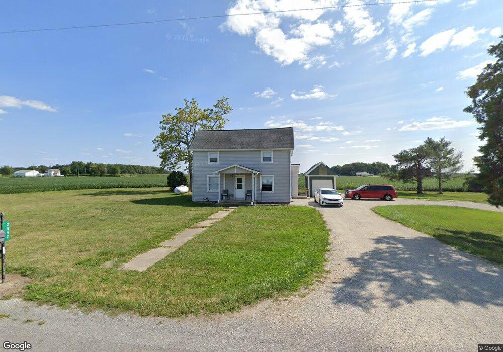
2442 Hone Weir Rd Celina, OH 45822
Estimated Value: $120,000 - $179,000
5
Beds
--
Bath
1,413
Sq Ft
$106/Sq Ft
Est. Value
About This Home
This home is located at 2442 Hone Weir Rd, Celina, OH 45822 and is currently estimated at $149,381, approximately $105 per square foot. 2442 Hone Weir Rd is a home located in Mercer County with nearby schools including Celina Middle School and Celina High School.
Ownership History
Date
Name
Owned For
Owner Type
Purchase Details
Closed on
May 17, 2021
Sold by
Fisher Stacy L and Estate Of Robert I Hone
Bought by
Kuhn Tom Robert
Current Estimated Value
Home Financials for this Owner
Home Financials are based on the most recent Mortgage that was taken out on this home.
Original Mortgage
$50,000
Interest Rate
3%
Mortgage Type
Commercial
Purchase Details
Closed on
May 21, 2013
Sold by
Estate Of Kathleen J Hone
Bought by
Hone Robert L
Create a Home Valuation Report for This Property
The Home Valuation Report is an in-depth analysis detailing your home's value as well as a comparison with similar homes in the area
Home Values in the Area
Average Home Value in this Area
Purchase History
| Date | Buyer | Sale Price | Title Company |
|---|---|---|---|
| Kuhn Tom Robert | $42,000 | None Available | |
| Hone Robert L | -- | None Available |
Source: Public Records
Mortgage History
| Date | Status | Borrower | Loan Amount |
|---|---|---|---|
| Previous Owner | Kuhn Tom Robert | $50,000 |
Source: Public Records
Tax History Compared to Growth
Tax History
| Year | Tax Paid | Tax Assessment Tax Assessment Total Assessment is a certain percentage of the fair market value that is determined by local assessors to be the total taxable value of land and additions on the property. | Land | Improvement |
|---|---|---|---|---|
| 2024 | $1,463 | $35,910 | $8,470 | $27,440 |
| 2023 | $1,463 | $35,910 | $8,470 | $27,440 |
| 2022 | $1,188 | $24,010 | $6,930 | $17,080 |
| 2021 | $738 | $24,010 | $6,930 | $17,080 |
| 2020 | $626 | $24,010 | $6,930 | $17,080 |
| 2019 | $584 | $22,190 | $6,300 | $15,890 |
| 2018 | $605 | $22,190 | $6,300 | $15,890 |
| 2017 | $573 | $22,190 | $6,300 | $15,890 |
| 2016 | $398 | $18,170 | $5,780 | $12,390 |
| 2015 | $395 | $18,380 | $5,780 | $12,600 |
| 2014 | $396 | $18,380 | $5,780 | $12,600 |
| 2013 | $426 | $18,450 | $5,780 | $12,670 |
Source: Public Records
Map
Nearby Homes
- 2332 State Route 29
- 6699 Gause Rd
- 6799 Debra Ave
- 4640 Sierra Dr
- 0 Anderson 13&14 & Roadway 12&13 Unit 1037886
- 6764 Silver Lakes Dr
- 0 Anderson Lots 10 11 & 12 Ln Unit 1037885
- 0 Springer 1-6 & Roadway 14-16 Unit 1037883
- 1101 Timothy Ln
- 11164 Erastus Durbin Rd
- 1218 Brittany Dr
- 1528 Mary Ln
- 0 Wilson Unit 1037059
- 0 Wilson Unit 306333
- 628 Hoying St
- 618 W Livingston St
- 718 Wilkins St
- 210 S Elm St
- 515 W Fayette St
- 912 Emerald Ave