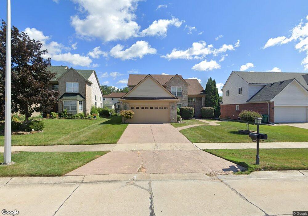
24423 Curtis Dr Flat Rock, MI 48134
Estimated Value: $379,566 - $430,000
4
Beds
3
Baths
2,207
Sq Ft
$185/Sq Ft
Est. Value
About This Home
This home is located at 24423 Curtis Dr, Flat Rock, MI 48134 and is currently estimated at $408,642, approximately $185 per square foot. 24423 Curtis Dr is a home located in Wayne County with nearby schools including Erving Elementary School, Patrick Henry Middle School, and Brownstown Middle School.
Ownership History
Date
Name
Owned For
Owner Type
Purchase Details
Closed on
Mar 29, 2003
Sold by
Klaver Carl and Klaver Irene
Bought by
Klaver Carl
Current Estimated Value
Home Financials for this Owner
Home Financials are based on the most recent Mortgage that was taken out on this home.
Original Mortgage
$208,200
Interest Rate
5.3%
Mortgage Type
Purchase Money Mortgage
Create a Home Valuation Report for This Property
The Home Valuation Report is an in-depth analysis detailing your home's value as well as a comparison with similar homes in the area
Home Values in the Area
Average Home Value in this Area
Purchase History
| Date | Buyer | Sale Price | Title Company |
|---|---|---|---|
| Klaver Carl | -- | -- |
Source: Public Records
Mortgage History
| Date | Status | Borrower | Loan Amount |
|---|---|---|---|
| Closed | Klaver Carl | $208,200 |
Source: Public Records
Tax History Compared to Growth
Tax History
| Year | Tax Paid | Tax Assessment Tax Assessment Total Assessment is a certain percentage of the fair market value that is determined by local assessors to be the total taxable value of land and additions on the property. | Land | Improvement |
|---|---|---|---|---|
| 2025 | $2,657 | $180,200 | $0 | $0 |
| 2024 | $2,657 | $165,000 | $0 | $0 |
| 2023 | $2,467 | $155,200 | $0 | $0 |
| 2022 | $4,524 | $139,000 | $0 | $0 |
| 2021 | $4,209 | $131,100 | $0 | $0 |
| 2020 | $4,123 | $123,400 | $0 | $0 |
| 2019 | $4,080 | $115,800 | $0 | $0 |
| 2018 | $2,156 | $108,200 | $0 | $0 |
| 2017 | $3,706 | $107,100 | $0 | $0 |
| 2016 | $3,920 | $105,000 | $0 | $0 |
| 2015 | $8,234 | $101,300 | $0 | $0 |
| 2013 | $7,977 | $84,400 | $0 | $0 |
| 2012 | -- | $77,500 | $15,800 | $61,700 |
Source: Public Records
Map
Nearby Homes
- 24401 Christian Dr
- 24320 Westpointe St
- 24098 Konarska Dr Unit 20
- 23836 Juniper Dr Unit 78
- 23607 Telegraph Rd
- 24048 Hemlock Dr Unit 7
- 23851 Andrew Blvd
- 24436 Mount Olive Dr
- 24608 Woodland Dr
- Argonne Ave 8.8 Acre Argonne Ave
- Argonne Ave 5 Acres Argonne Ave
- 23869 McCort Dr Unit 68
- 23840 Brentwood Dr Unit 102
- 24494 Edwin St
- 23348 Redman Ct Unit 22
- 25340 Telegraph Rd
- 24550 Colonial Dr
- 25738 Connery Dr
- 24705 Colonial Dr
- 23421 Westwood Dr
- 24443 Curtis Dr
- 24403 Curtis Dr
- 24463 Curtis Dr
- 24393 Curtis Dr
- 24422 Christian Dr
- 24402 Christian Dr
- 24442 Christian Dr
- 24392 Christian Dr
- 24474 Curtis Dr
- 24383 Curtis Dr
- 24483 Curtis Dr
- 24424 Curtis Dr
- 24544 Curtis Dr
- 24382 Christian Dr
- 24482 Christian Dr
- 24414 Curtis Dr
- 24553 Curtis Dr
- 24594 Curtis Dr
- 24373 Curtis Dr
- 24372 Christian Dr